
CountiesButler County
PennsylvaniaReservoirButler County
Lake Arthur
Lake Arthur covers about 3,075 acres in Pennsylvania. The lake is in Butler County. PA DCNR (Moraine State Park) manages it. The gauge last read 1,190.23 ft.
Water level today: 1,190.23 ft · see the full record
Coordinates40.9506, -80.0726
Surface area3,075 acres
Managed byPA DCNR (Moraine State Park)
Swimming beaches on Lake Arthur
2 named swimming spots and shoreline access points, from USGS GNIS, Recreation.gov and the Forest Service. None is staffed by a lifeguard unless the operating agency posts one.
Lake Arthur on the map
Lake center, swimming spots and access points.
Weather and water temperature
Air temperature and wind from Open-Meteo. Water temperature only when the lake has a public sensor.
Weather data by Open-Meteo
Water level today
Station 03106280, Lake Arthur at Moraine State Park, PA, publishes the water surface elevation used here. The last value stored here, 1,190.23 ft, is from 2026-07-07. Water level decides what is usable on the shoreline, from beach width to ramp access.
1,190.23 ft trend not available
Lake Arthur in Pennsylvania
Lake Arthur sits at 40.9506, -80.0726. Surface elevation is about 1,188 feet.
Nearby water includes Shenango River Lake (Pennsylvania, 30 mi), Crooked Creek Lake (Pennsylvania, 34 mi) and Mahoning Creek Lake (Pennsylvania, 42 mi). In all, 35 lakes in Pennsylvania are covered here.
No public sensor reports water temperature at Lake Arthur, so the panel shows air temperature and wind. Swimming season in Pennsylvania runs through the warm months, and day-use areas set their own opening dates. Inland lakes are not monitored the way ocean beaches are, so posted signs matter more here.
Station 03106280, Lake Arthur at Moraine State Park, PA, publishes the water surface elevation used here. The last value stored here, 1,190.23 ft, is from 2026-07-07. Water level decides what is usable on the shoreline, from beach width to ramp access.
Around Lake Arthur this guide maps 2 named swimming spots. These come from USGS GNIS. Among them are Pleasant Valley Beach and Lakeview Beach. Fees and opening dates are set by each park, not by the agency that runs the water.
Questions about Lake Arthur
Can you swim in Lake Arthur?
Yes. This guide maps 2 named swimming spots around the lake, including Pleasant Valley Beach and Lakeview Beach. None is staffed by a lifeguard unless the operating agency posts one.
How big is Lake Arthur?
About 3,075 acres.
What other lakes are near Lake Arthur?
The closest in this guide is Shenango River Lake, about 30 miles away in Pennsylvania.
Lakes near Lake Arthur
Other lakes in this guide, ordered by distance.
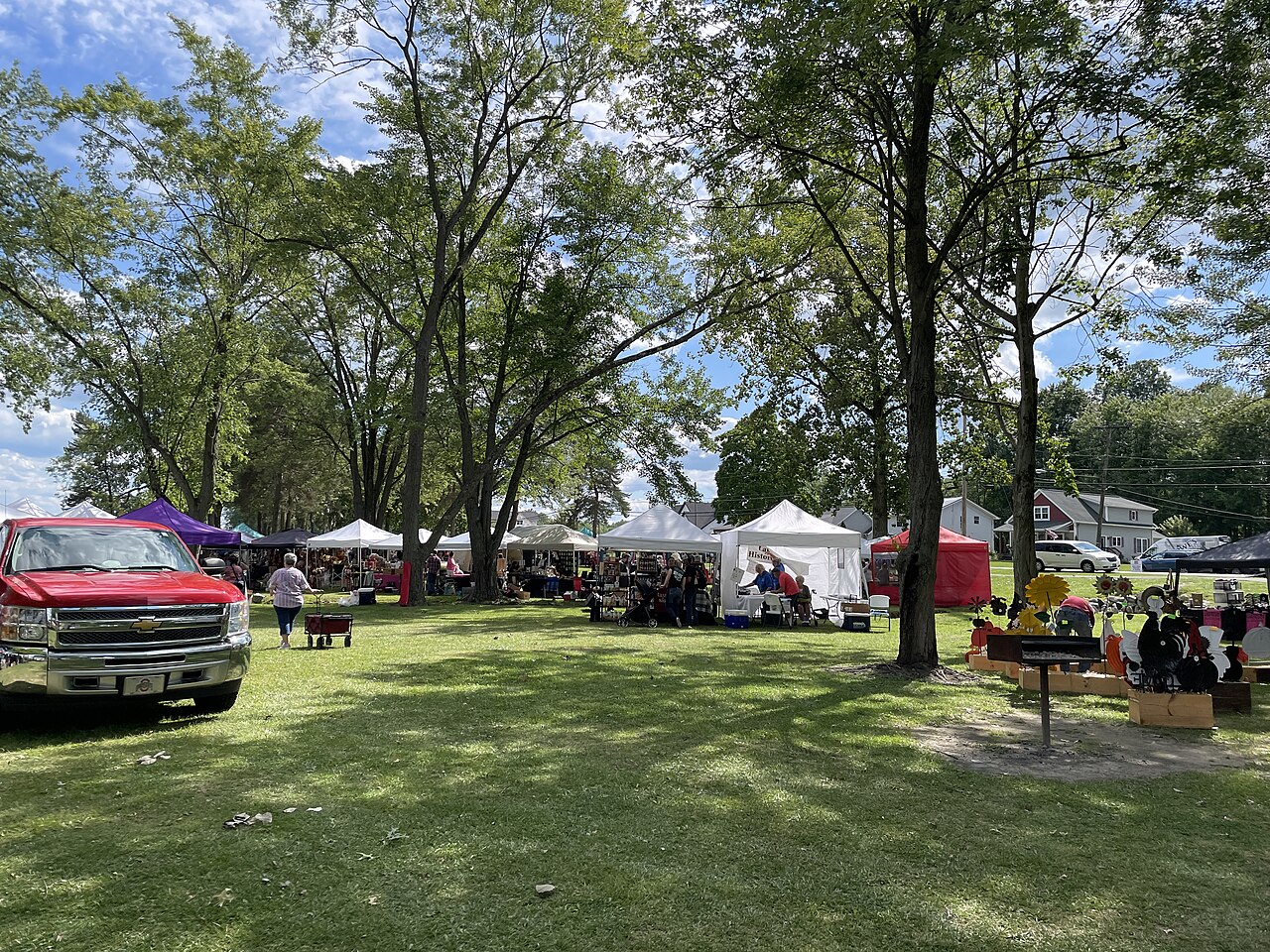
Lake Milton
Lake Milton is a 1,685-acre reservoir in Ohio. The lake is in Mahoning County. Ohio DNR — Division of Parks & Watercraft manages…
Reservoir
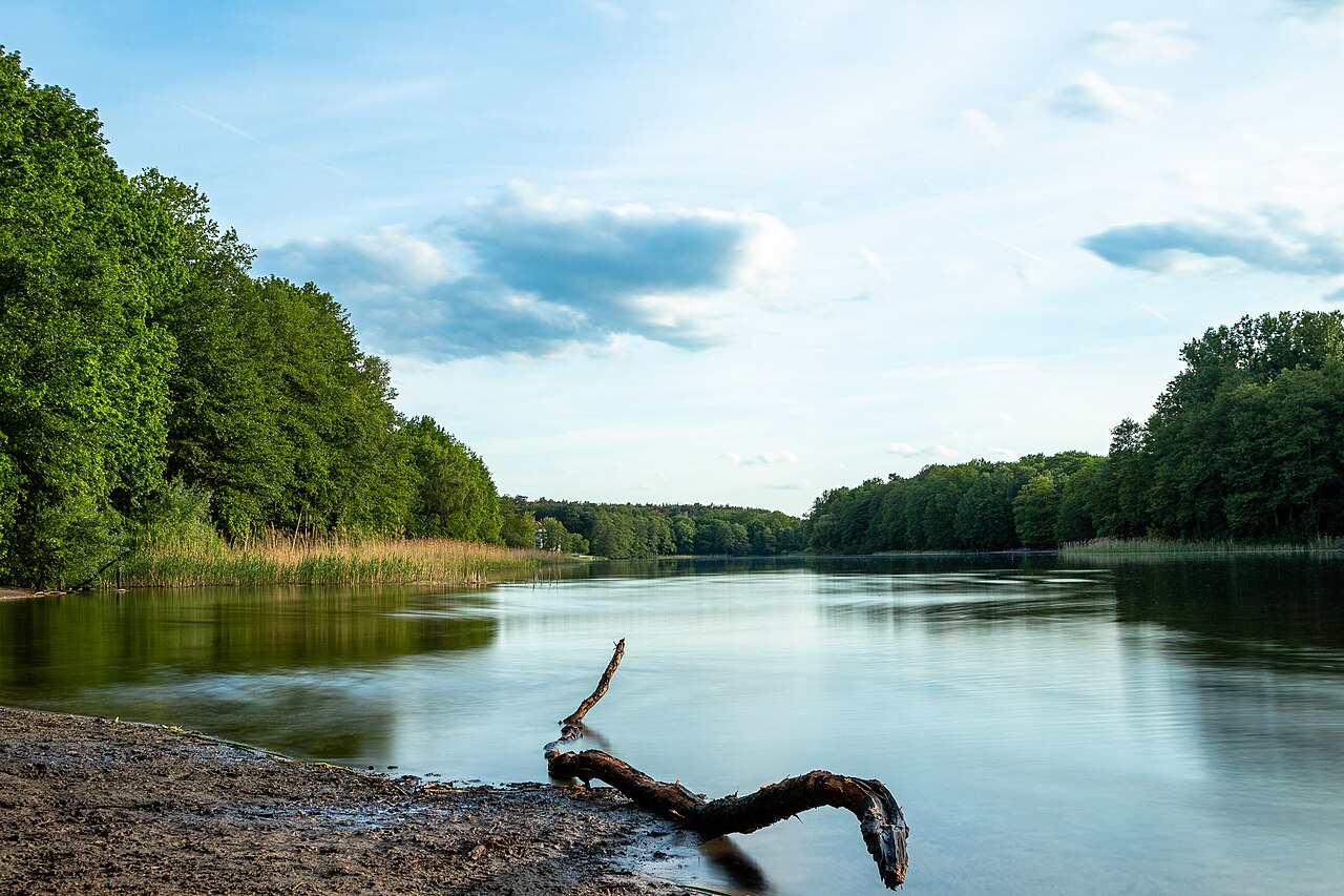
Berlin Lake
Berlin Lake covers about 3,590 acres in Ohio. You will find it in Portage County. USACE Pittsburgh District manages it. The gauge…
Reservoir
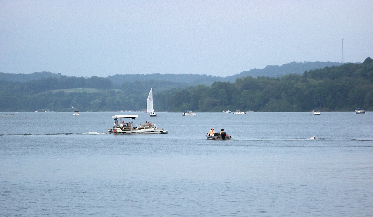
Atwood Lake
Atwood Lake covers about 1,540 acres of the Indian Fork in Ohio. It lies in Carroll County. It is managed by Muskingum Watershed…
Reservoir
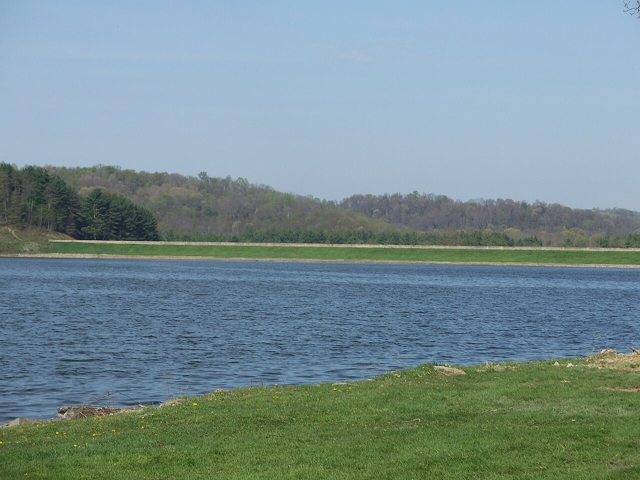
Tappan Lake
Tappan Lake is a reservoir of some 2,350 acres on the outflow =, in Ohio. It lies in Harrison County. Management is in the hands…
Reservoir
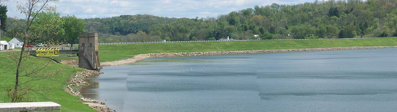
Piedmont Lake
Piedmont Lake is a 2,270-acre reservoir on the Stillwater Creek in Ohio. You will find it in Belmont County. It is managed by…
Reservoir
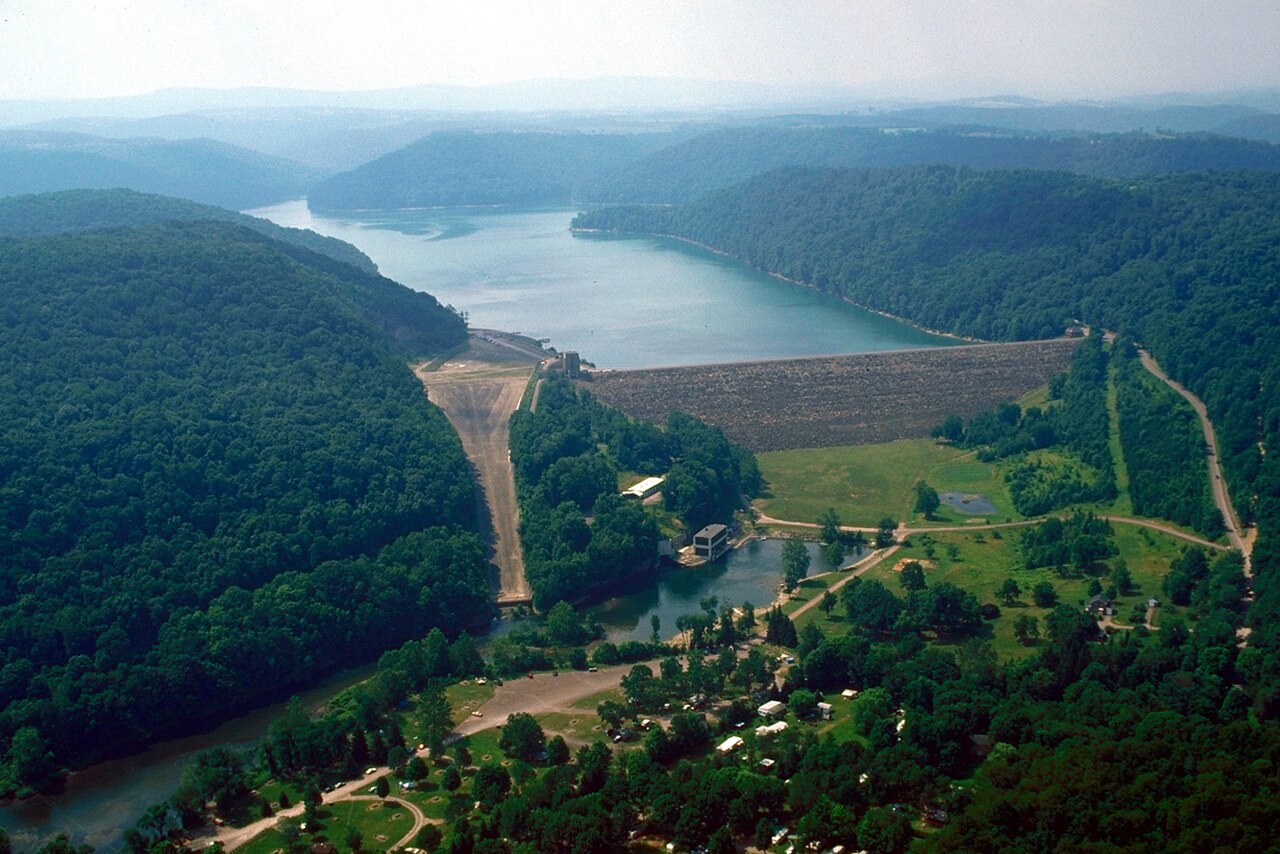
Youghiogheny River Lake
Youghiogheny River Lake is a reservoir of some 2,840 acres on the Youghiogheny River, in Pennsylvania. It lies in Somerset…
Reservoir
Explore around Pennsylvania
All lakes in Pennsylvania Lakes near New Castle Lakes near Hermitage
Sources
Every figure on this page comes from one of these public sources.