
CountiesCarroll County
OhioReservoirCarroll County
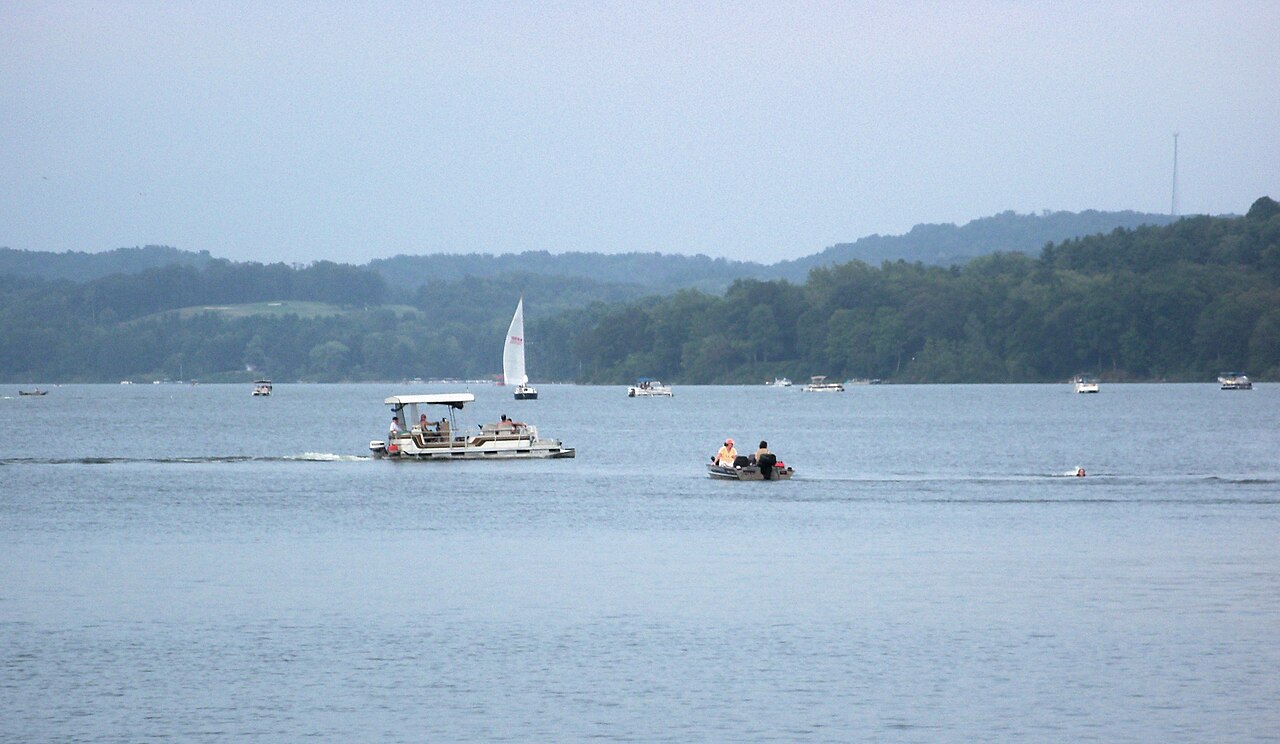
Atwood Lake
Atwood Lake covers about 1,540 acres of the Indian Fork in Ohio. It lies in Carroll County. It is managed by Muskingum Watershed Conservancy District (MWCD). The gauge last read 927.92 ft.
Water level today: 927.92 ft · see the full record
Coordinates40.5267, -81.2847
Surface area1,540 acres
RiverIndian Fork
Managed byMuskingum Watershed Conservancy District (MWCD)
Swimming beaches on Atwood Lake
No named swimming beach is mapped yet for this lake. Access is through agency day-use areas and boat ramps listed below. We add beach pages only when we can confirm a name, coordinates and an operating agency.
Atwood Lake on the map
Lake center, swimming spots and access points.
Weather and water temperature
Air temperature and wind from Open-Meteo. Water temperature only when the lake has a public sensor.
Weather data by Open-Meteo
Water level today
The level comes from gauge 03121000, Atwood Lake near New Cumberland OH, and carries the time it was taken. The last value stored here, 927.92 ft, is from 2026-09-09. Check the reading the morning you go if your plan depends on a specific ramp.
927.92 ft trend not available
About Atwood Lake
Atwood Lake sits at 40.5267, -81.2847. The surface sits around 928 feet above sea level. The Indian Fork carries the outflow.
If you need a named beach, Dillon Lake on Dillon Lake is some 56 miles from here. Where there is no marked beach, entry is usually from a boat ramp or an unimproved bank. No named swimming beach is mapped at Atwood Lake in the federal and state datasets this guide reads. Access is through whatever the operating agency provides on the ground, so check with them first.
Nearby water includes Tappan Lake (Ohio, 12 mi), Beach City Lake (Ohio, 18 mi) and Clendening Lake (Ohio, 20 mi). In all, 35 lakes in Ohio are covered here.
Season dates vary by park; the operating agency publishes them each spring. No public sensor reports water temperature at Atwood Lake, so the panel shows air temperature and wind. Freshwater advisories are issued locally, so check the state health department before you swim.
The level comes from gauge 03121000, Atwood Lake near New Cumberland OH, and carries the time it was taken. The last value stored here, 927.92 ft, is from 2026-09-09. Check the reading the morning you go if your plan depends on a specific ramp.
Questions about Atwood Lake
Is there a beach at Atwood Lake?
No named swimming beach appears in the federal and state datasets this guide reads. Check the operating agency for day-use areas on the ground.
How big is Atwood Lake?
About 1,540 acres.
What other lakes are near Atwood Lake?
The closest in this guide is Tappan Lake, about 12 miles away in Ohio.
Lakes near Atwood Lake
Other lakes in this guide, ordered by distance.
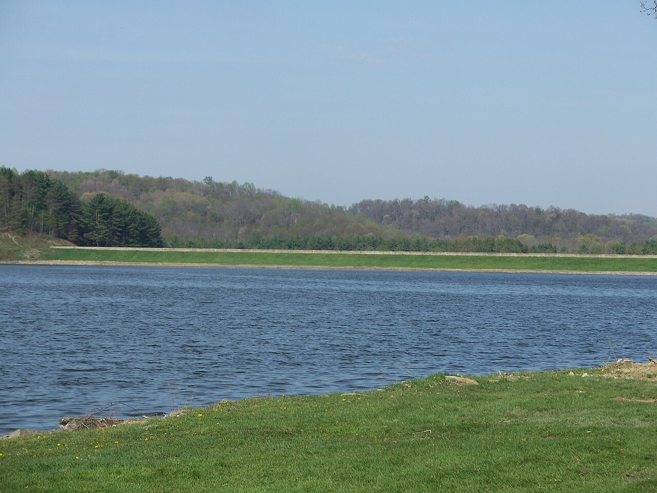
Tappan Lake
Tappan Lake is a reservoir of some 2,350 acres on the outflow =, in Ohio. It lies in Harrison County. Management is in the hands…
Reservoir
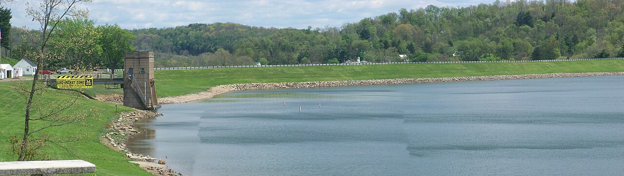
Piedmont Lake
Piedmont Lake is a 2,270-acre reservoir on the Stillwater Creek in Ohio. You will find it in Belmont County. It is managed by…
Reservoir
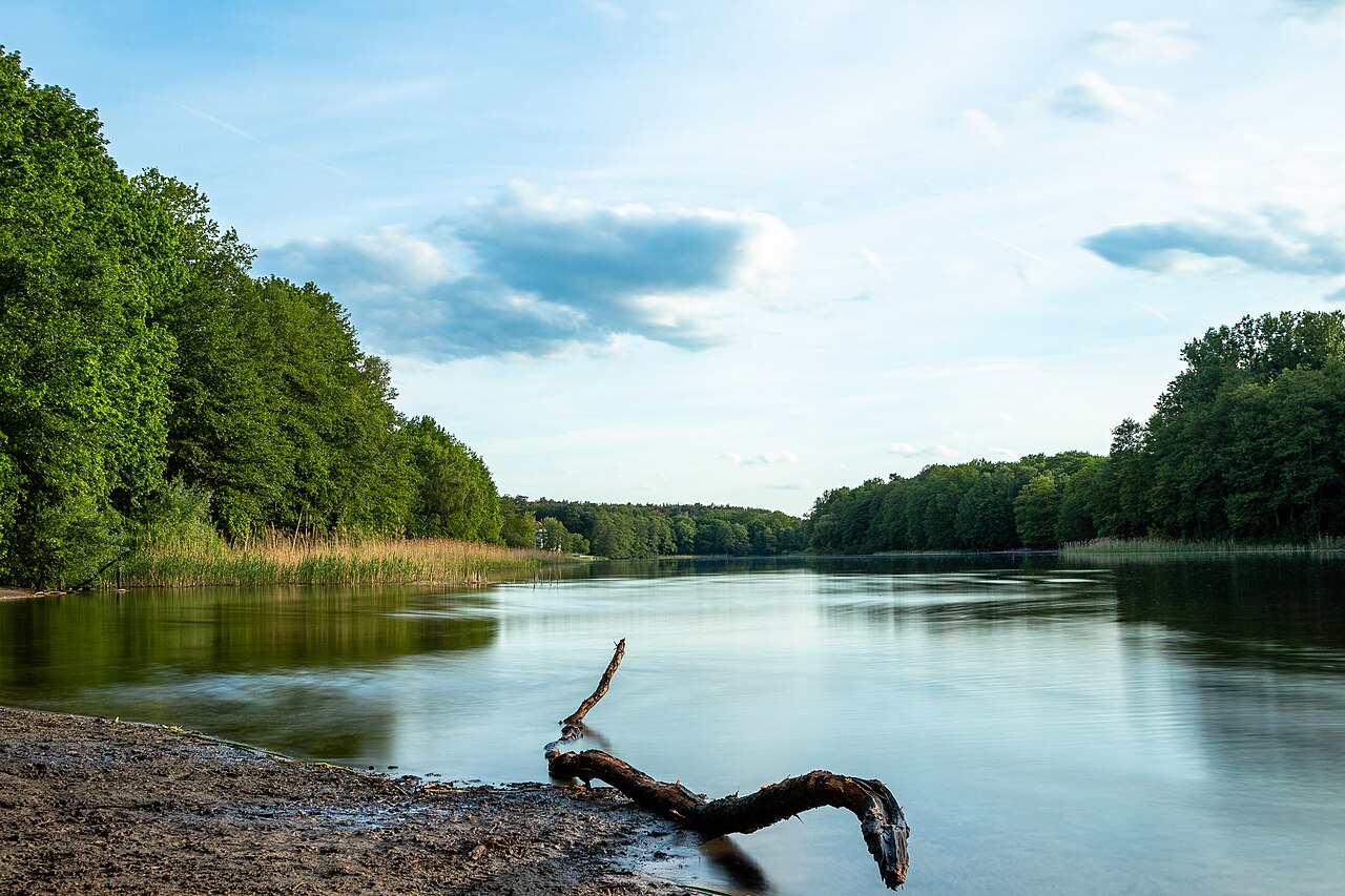
Berlin Lake
Berlin Lake covers about 3,590 acres in Ohio. You will find it in Portage County. USACE Pittsburgh District manages it. The gauge…
Reservoir
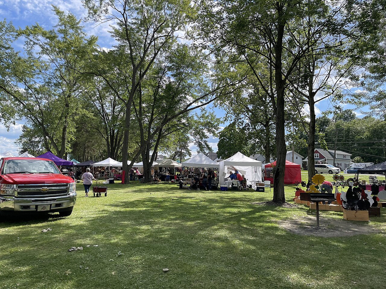
Lake Milton
Lake Milton is a 1,685-acre reservoir in Ohio. The lake is in Mahoning County. Ohio DNR — Division of Parks & Watercraft manages…
Reservoir
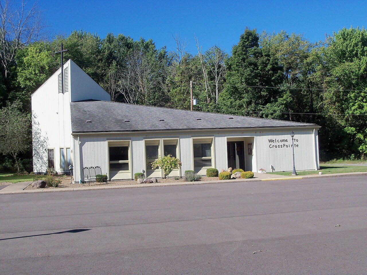
Chippewa Lake
Chippewa Lake is a 330-acre lake in Ohio. The lake is in Medina County. It is managed by Medina County Park District.
Natural lake
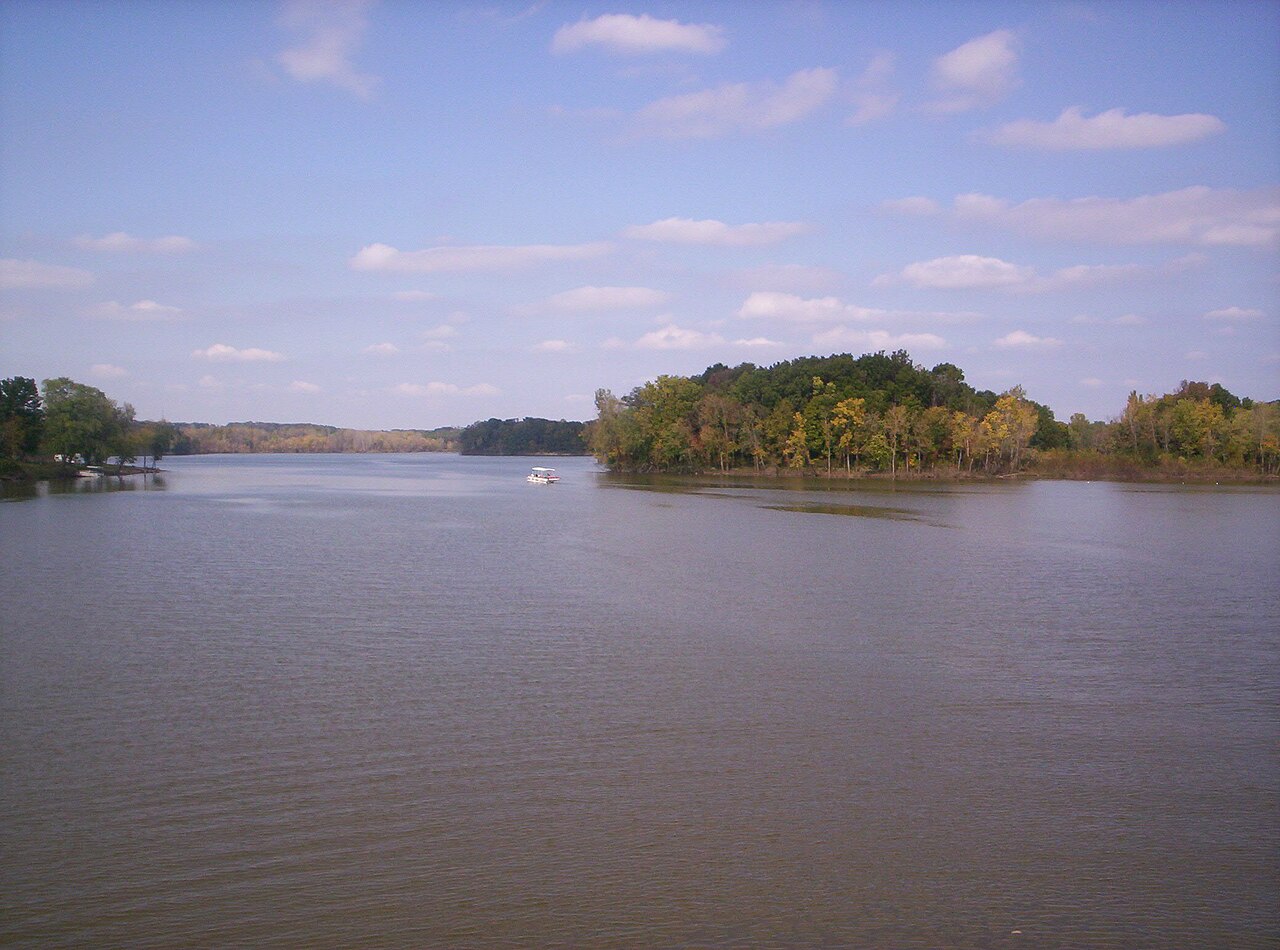
Charles Mill Lake
Charles Mill Lake is a reservoir of some 1,350 acres on the Black Fork Mohican River, in Ohio. You will find it in Ashland…
Reservoir
Explore around Ohio
Sources
Every figure on this page comes from one of these public sources.