
CountiesCrook County
OregonReservoirCrook County
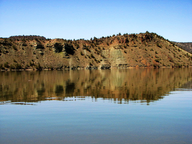
Prineville Reservoir
Prineville Reservoir covers about 3,030 acres of the Crooked River in Oregon. It lies in Crook County. Oregon State Parks / USBR manages it. This guide maps 2 named swimming spots around its shoreline.
Coordinates44.1100, -120.7860
Surface area3,030 acres
Max depth130 ft
RiverCrooked River
Managed byOregon State Parks / USBR
Swimming beaches on Prineville Reservoir
2 named swimming spots and shoreline access points, from USGS GNIS, Recreation.gov and the Forest Service. None is staffed by a lifeguard unless the operating agency posts one.
Cobble Rock Campground
Fee information published; 1.7 mi from the lake center.
Recreation.gov (RIDB)SwimmingFee Information Published
Chimney Rock Trail
Fee information published; 2.2 mi from the lake center.
Recreation.gov (RIDB)SwimmingFee Information Published
Prineville Reservoir on the map
Lake center, swimming spots and access points.
Weather and water temperature
Air temperature and wind from Open-Meteo. Water temperature only when the lake has a public sensor.
Weather data by Open-Meteo
Prineville Reservoir: beaches, ramps and water level
The center of the lake is at 44.1100, -120.7860. Surface elevation is about 3,257 feet. Maximum depth is around 130 feet. Water leaves through the Crooked River.
Around Prineville Reservoir this guide maps 2 named swimming spots. Among them are Cobble Rock Campground and Chimney Rock Trail. These come from Recreation.gov (RIDB). Parking is the usual limit on busy summer weekends.
If Prineville Reservoir is busy, the nearest alternatives here are Ochoco Reservoir (Oregon, 14 mi), Haystack Reservoir (Oregon, 32 mi) and Lake Billy Chinook (Oregon, 44 mi). In all, 48 lakes in Oregon are covered here.
Season dates vary by park; the operating agency publishes them each spring. Water quality is monitored unevenly on inland lakes, so posted notices are the most reliable guide. No public sensor reports water temperature at Prineville Reservoir, so the panel shows air temperature and wind.
Nobody publishes a continuous level for Prineville Reservoir in a form this guide can read, so the page carries access and weather instead. For a lake this size, the park office is the fastest way to learn how the water sits today.
Questions about Prineville Reservoir
Can you swim in Prineville Reservoir?
Yes. This guide maps 2 named swimming spots around the lake, including Cobble Rock Campground and Chimney Rock Trail. None is staffed by a lifeguard unless the operating agency posts one.
How big is Prineville Reservoir?
About 3,030 acres. Maximum depth is around 130 feet.
What other lakes are near Prineville Reservoir?
The closest in this guide is Ochoco Reservoir, about 14 miles away in Oregon.
Lakes near Prineville Reservoir
Other lakes in this guide, ordered by distance.
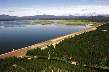
Wickiup Reservoir
Wickiup Reservoir covers about 11,120 acres of the Deschutes River in Oregon. Its shoreline falls inside Deschutes County. It is…
Reservoir2 beaches
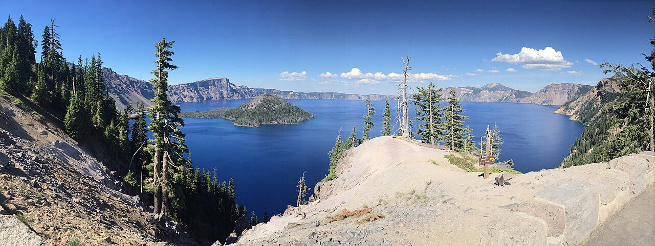
Crater Lake
Crater Lake is a lake of some 13,146 acres on the evaporation, subsurface seepage to Wood River, in Oregon. Its shoreline falls…
Natural lake1 beach
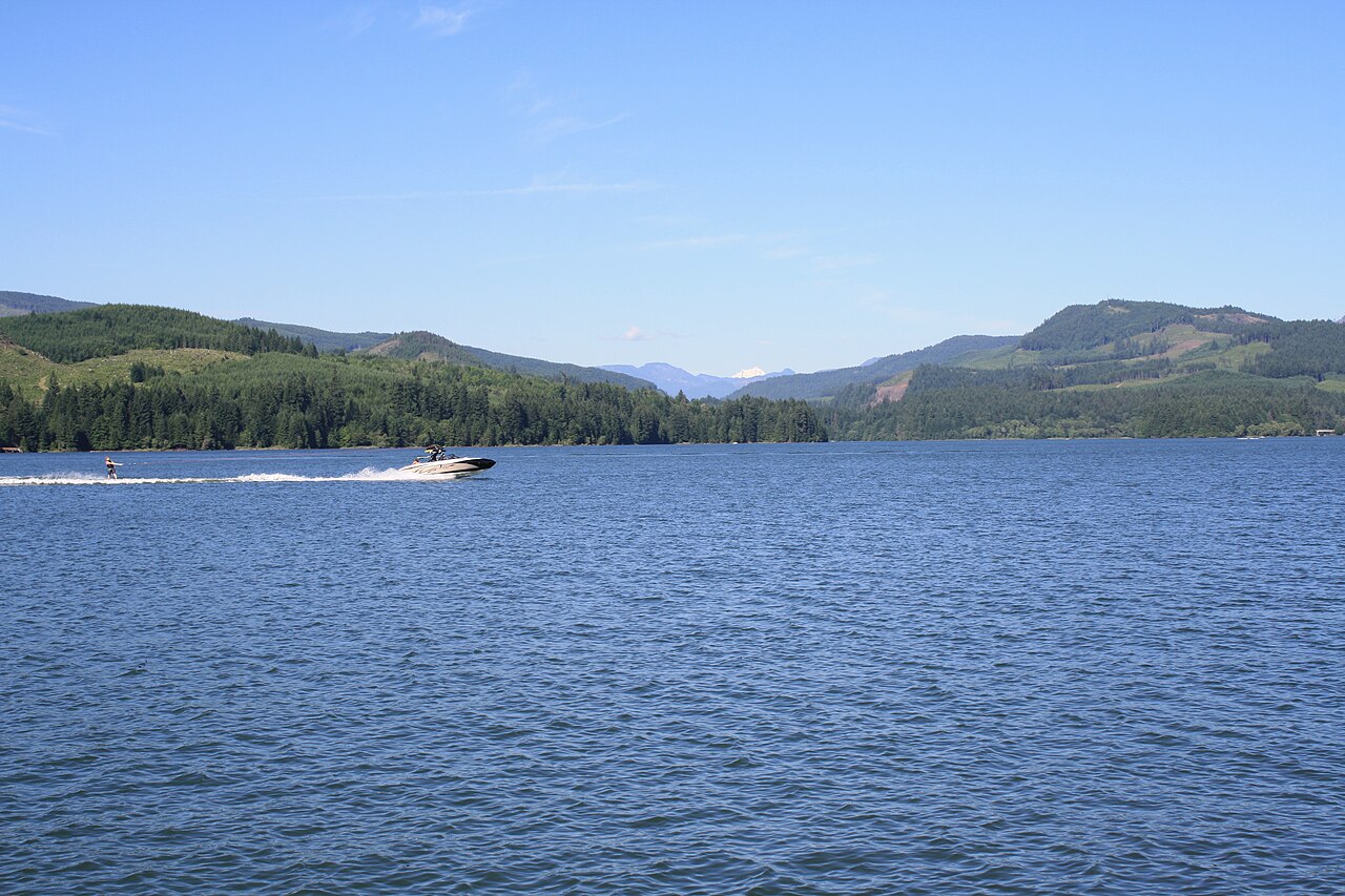
Foster Lake
Foster Lake is a 1,220-acre reservoir in Oregon. You will find it in Harney County. USACE Portland District manages it.
Reservoir
Henry Hagg Lake
Henry Hagg Lake covers about 1,153 acres of the Tualatin River in Oregon. Its shoreline falls inside Washington County.…
Reservoir
Lake Merwin
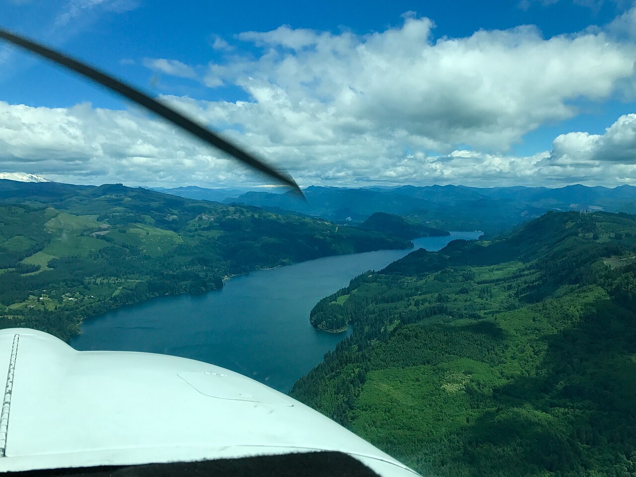
Lake Merwin covers about 3,921 acres of the Lewis River in Washington. You will find it in Clark County. PacifiCorp manages it.…
Reservoir
Emigrant Lake
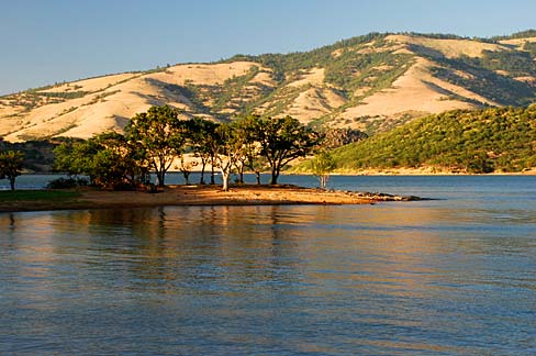
Fed by the Emigrant Creek, Emigrant Lake holds roughly 806 acres of water in Oregon. You will find it in Jackson County. It is…
Reservoir
Explore around Oregon
All lakes in Oregon Swimming spots in Oregon Lakes near Bend
Sources
Every figure on this page comes from one of these public sources.