
CountiesHarney County
OregonReservoirHarney County
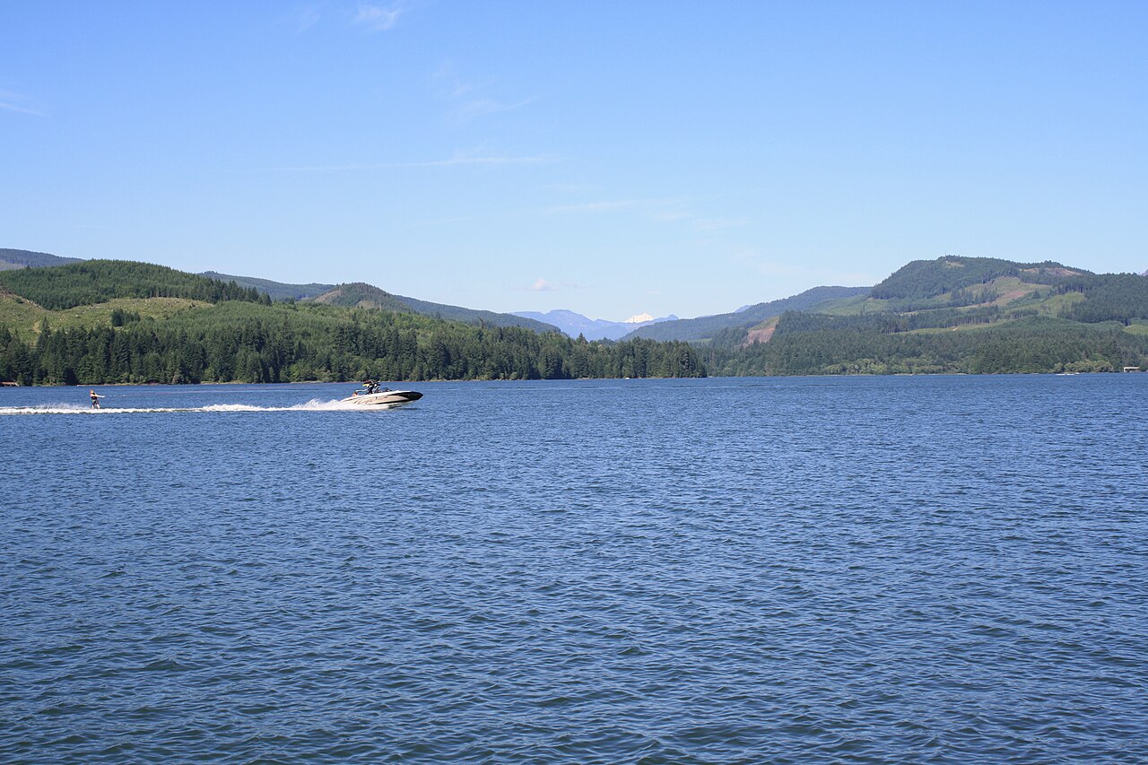
Foster Lake
Foster Lake is a 1,220-acre reservoir in Oregon. You will find it in Harney County. USACE Portland District manages it.
Coordinates43.0013, -119.2627
Surface area1,220 acres
Managed byUSACE Portland District
Swimming beaches on Foster Lake
No named swimming beach is mapped yet for this lake. Access is through agency day-use areas and boat ramps listed below. We add beach pages only when we can confirm a name, coordinates and an operating agency.
Foster Lake on the map
Lake center, swimming spots and access points.
Weather and water temperature
Air temperature and wind from Open-Meteo. Water temperature only when the lake has a public sensor.
Weather data by Open-Meteo
Visiting Foster Lake
If Foster Lake is busy, the nearest alternatives here are Warm Springs Reservoir (Oregon, 67 mi), Beulah Reservoir (Oregon, 85 mi) and Prineville Reservoir (Oregon, 108 mi). In all, 48 lakes in Oregon are covered here.
Public datasets record no beach at Foster Lake, so treat any shoreline access as unmarked and unsupervised. Absence from these datasets does not mean the water is closed, only that no agency lists a beach.
There is no live level reading for Foster Lake. The agencies that run this water do not publish one openly, and we do not estimate what has not been measured. We check the public feeds daily, so this page will fill in if one appears.
There is no water temperature sensor here, so only air conditions are shown. Water quality is monitored unevenly on inland lakes, so posted notices are the most reliable guide. Season dates vary by park; the operating agency publishes them each spring.
Questions about Foster Lake
Is there a beach at Foster Lake?
No named swimming beach appears in the federal and state datasets this guide reads. Check the operating agency for day-use areas on the ground.
How big is Foster Lake?
About 1,220 acres.
What other lakes are near Foster Lake?
The closest in this guide is Warm Springs Reservoir, about 67 miles away in Oregon.
Lakes near Foster Lake
Other lakes in this guide, ordered by distance.
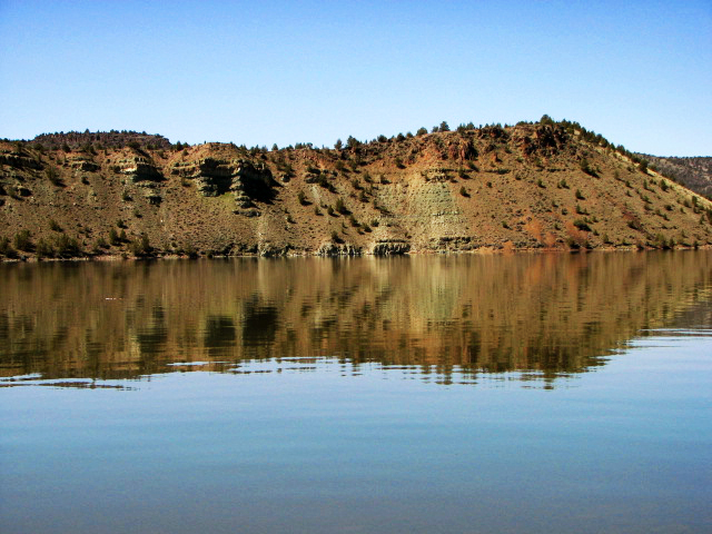
Prineville Reservoir
Prineville Reservoir covers about 3,030 acres of the Crooked River in Oregon. It lies in Crook County. Oregon State Parks / USBR…
Reservoir2 beaches
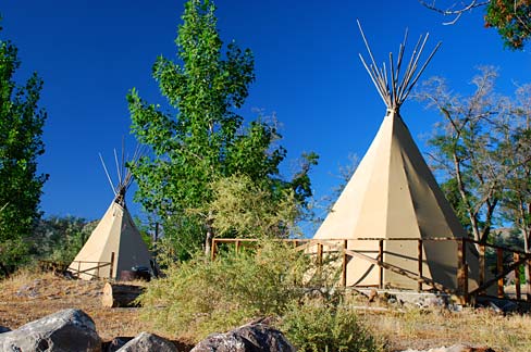
Lake Owyhee
Lake Owyhee covers about 13,900 acres in Oregon. The lake is in Malheur County. Oregon Parks & Recreation Department (Lake Owyhee…
Reservoir
Wickiup Reservoir
Wickiup Reservoir covers about 11,120 acres of the Deschutes River in Oregon. Its shoreline falls inside Deschutes County. It is…
Reservoir2 beaches
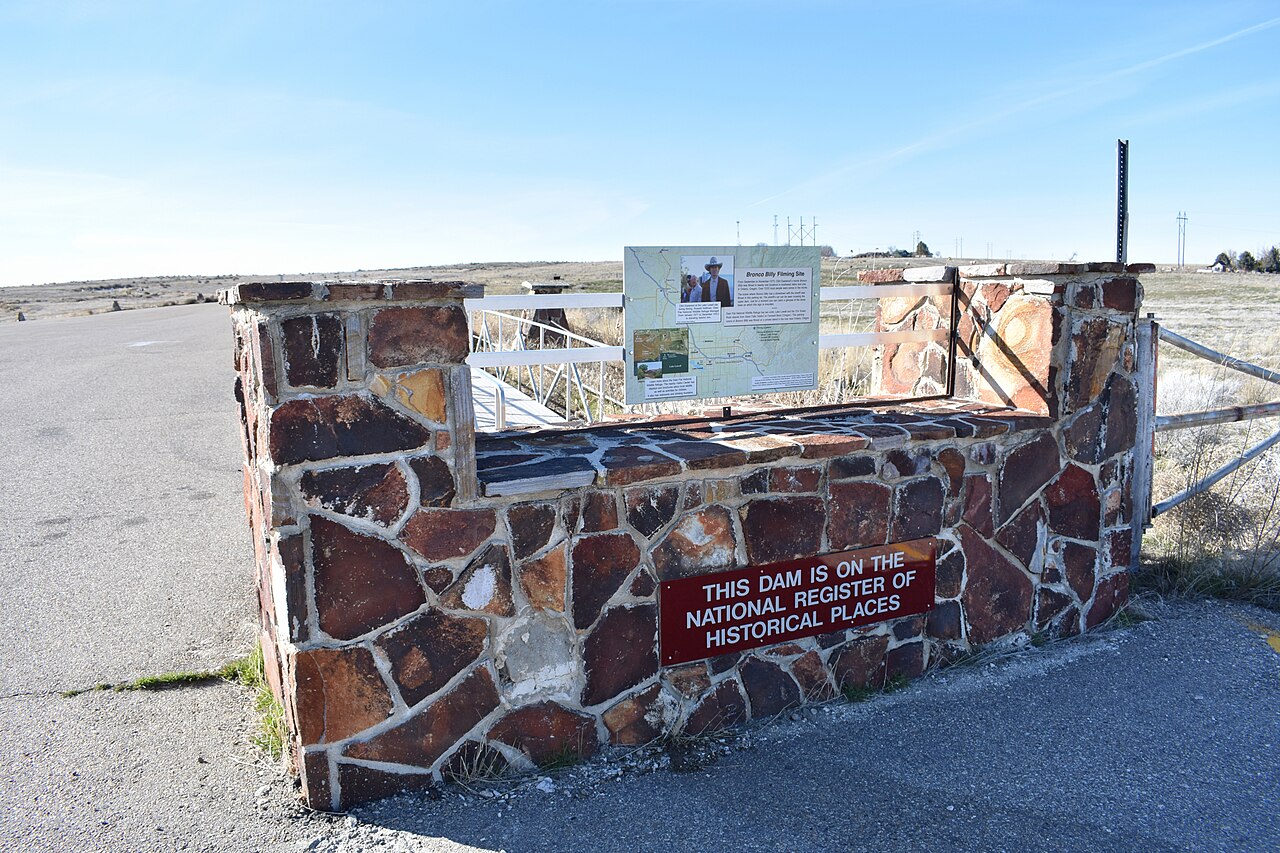
Lake Lowell
Lake Lowell covers about 9,025 acres in Idaho. It lies in Canyon County. USFWS Deer Flat NWR manages it. This guide maps 1 named…
Reservoir1 beach
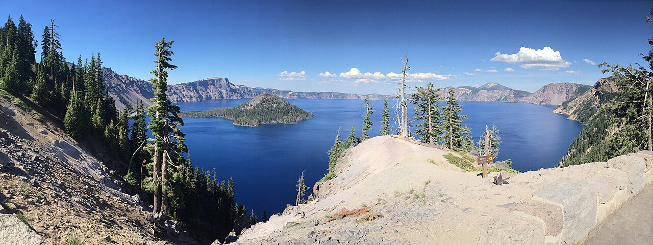
Crater Lake
Crater Lake is a lake of some 13,146 acres on the evaporation, subsurface seepage to Wood River, in Oregon. Its shoreline falls…
Natural lake1 beach
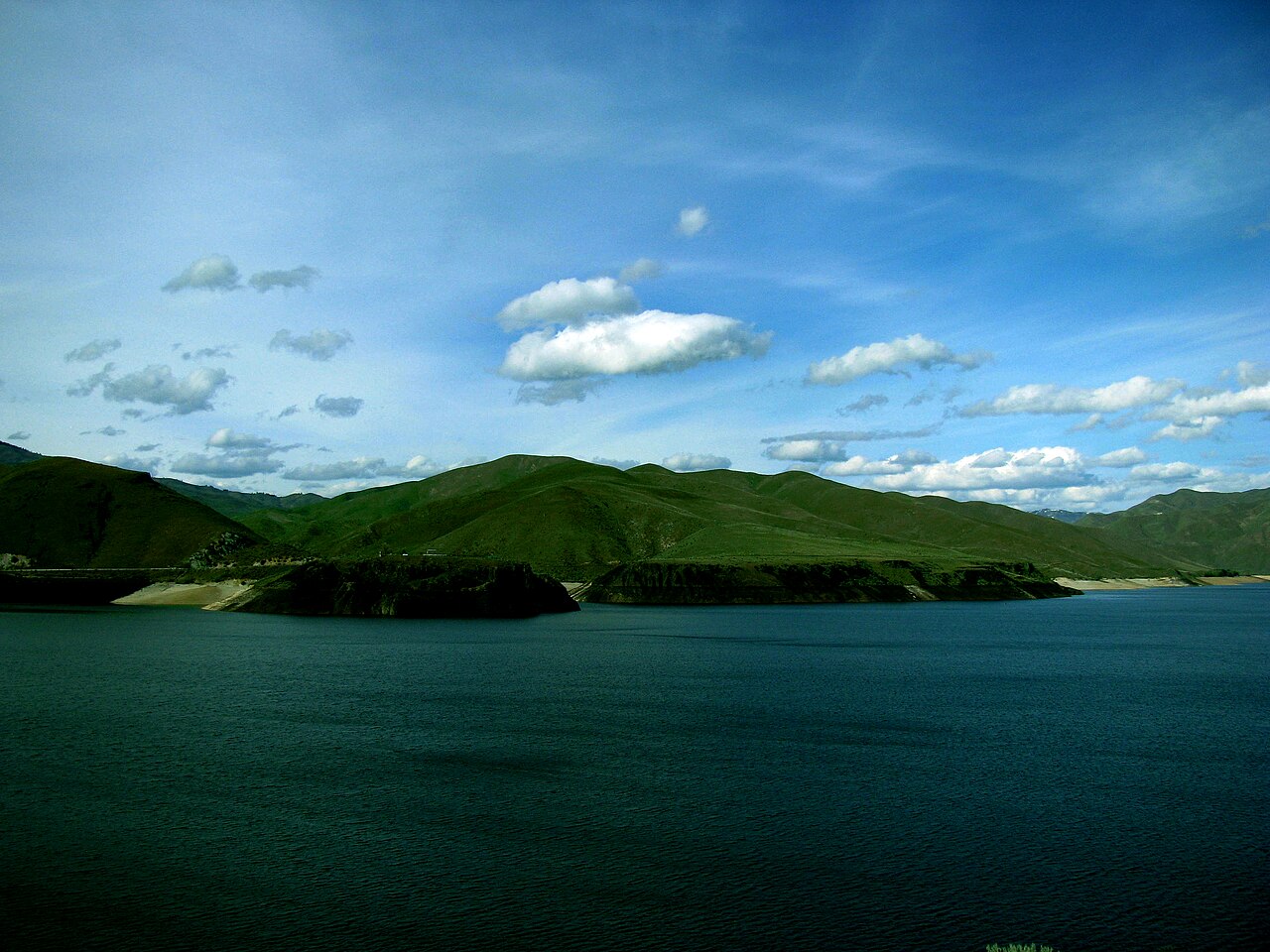
Lucky Peak Lake
Fed by the Boise River, Lucky Peak Lake holds roughly 2,820 acres of water in Idaho. It lies in Ada County. Management is in the…
Reservoir1 beach