
CountiesPawnee County
OklahomaReservoirPawnee County
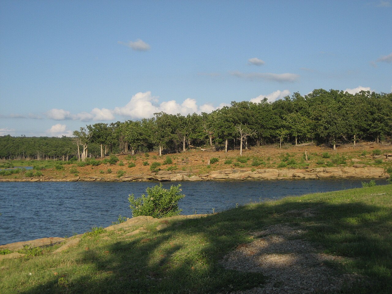
Keystone Lake
Keystone Lake covers about 23,600 acres of the Arkansas River in Oklahoma. The lake is in Pawnee County. Management is in the hands of USACE Tulsa District / Oklahoma State Parks.
Coordinates36.2306, -96.3050
Surface area23,600 acres
Max depth73 ft
Full pool723.0 ft
RiverArkansas River
Managed byUSACE Tulsa District / Oklahoma State Parks
Swimming beaches on Keystone Lake
No named swimming beach is mapped yet for this lake. Access is through agency day-use areas and boat ramps listed below. We add beach pages only when we can confirm a name, coordinates and an operating agency.
Keystone Lake on the map
Lake center, swimming spots and access points.
Weather and water temperature
Air temperature and wind from Open-Meteo. Water temperature only when the lake has a public sensor.
Weather data by Open-Meteo
Keystone Lake at a glance
The center of the lake is at 36.2306, -96.3050. Maximum depth is around 73 feet. Water leaves through the Arkansas River. It lies at roughly 723 feet of elevation.
Nearby water includes Skiatook Lake (Oklahoma, 14 mi), Heyburn Lake (Oklahoma, 19 mi) and Birch Lake (Oklahoma, 22 mi). In all, 40 lakes in Oklahoma are covered here.
Season dates vary by park; the operating agency publishes them each spring. Water temperature is not measured at this lake by any public agency we read. Check the operating agency for advisories before any water contact, especially for blue-green algae in late summer.
Shoreline access on lakes like this one is often informal and unsigned. The federal and state datasets behind this guide list no named beach at Keystone Lake. That does not mean there is no access, only that none is catalogued. If you need a named beach, Copan Lake on Copan Lake is some 49 miles from here.
For a lake this size, the park office is the fastest way to learn how the water sits today. There is no live level reading for Keystone Lake. The agencies that run this water do not publish one openly, and we do not estimate what has not been measured.
Questions about Keystone Lake
What is full pool at Keystone Lake?
Full pool is 723.0 ft. Water above that level is flood storage and is released as conditions allow.
Is there a beach at Keystone Lake?
No named swimming beach appears in the federal and state datasets this guide reads. Check the operating agency for day-use areas on the ground.
How big is Keystone Lake?
About 23,600 acres. Maximum depth is around 73 feet.
What other lakes are near Keystone Lake?
The closest in this guide is Skiatook Lake, about 14 miles away in Oklahoma.
Lakes near Keystone Lake
Other lakes in this guide, ordered by distance.
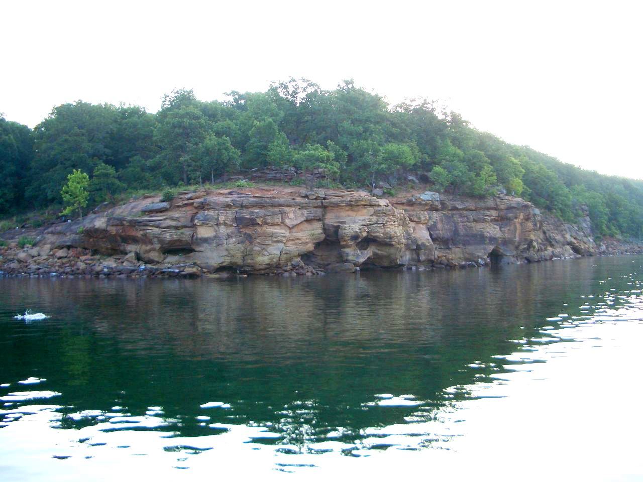
Skiatook Lake
Skiatook Lake is a 10,500-acre reservoir on the Hominy Creek in Oklahoma. The lake is in Osage County. It is managed by USACE…
Reservoir
Oologah Lake
Oologah Lake covers about 29,000 acres of the Verdigris River in Oklahoma. You will find it in Rogers County. It is managed by…
Reservoir
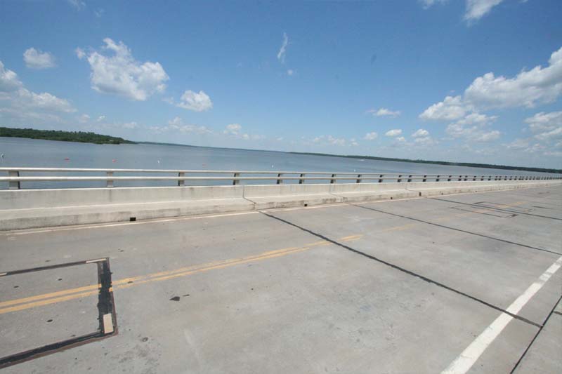
Kaw Lake
Kaw Lake is a reservoir of some 17,000 acres on the outflow =, in Oklahoma. You will find it in Kay County. Management is in the…
Reservoir
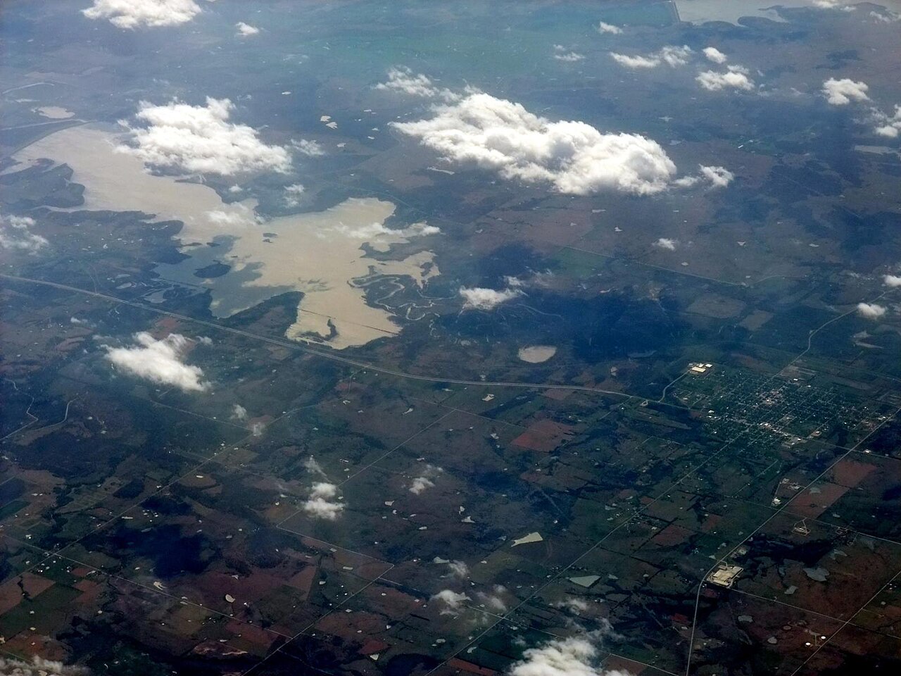
Copan Lake
Copan Lake is a 4,850-acre reservoir in Oklahoma. You will find it in Washington County. It is managed by USACE Tulsa District.…
Reservoir1 beach
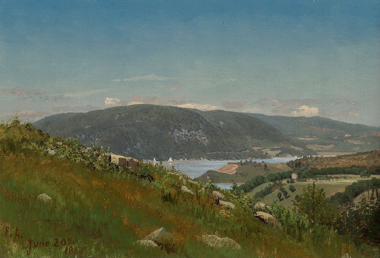
Lake Hudson
Lake Hudson is a 12,000-acre reservoir in Oklahoma. The lake is in Mayes County. It is managed by Grand River Dam Authority…
Reservoir
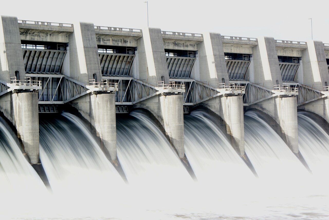
Fort Gibson Lake
At roughly 9,093 acres, Fort Gibson Lake is one of the lakes covered in Oklahoma. Its shoreline falls inside Wagoner County.…
Reservoir1 beach
Explore around Oklahoma
All lakes in Oklahoma Swimming spots in Oklahoma Lakes near Tulsa Lakes near Jenks
Sources
Every figure on this page comes from one of these public sources.