
CountiesAshland County
OhioReservoirAshland County
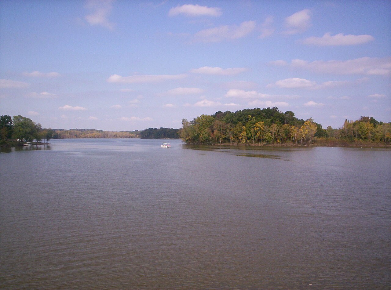
Charles Mill Lake
Charles Mill Lake is a reservoir of some 1,350 acres on the Black Fork Mohican River, in Ohio. You will find it in Ashland County. Management is in the hands of Muskingum Watershed Conservancy District.
Coordinates40.7625, -82.3770
Surface area1,350 acres
RiverBlack Fork Mohican River
Managed byMuskingum Watershed Conservancy District
Swimming beaches on Charles Mill Lake
No named swimming beach is mapped yet for this lake. Access is through agency day-use areas and boat ramps listed below. We add beach pages only when we can confirm a name, coordinates and an operating agency.
Charles Mill Lake on the map
Lake center, swimming spots and access points.
Weather and water temperature
Air temperature and wind from Open-Meteo. Water temperature only when the lake has a public sensor.
Weather data by Open-Meteo
Swimming at Charles Mill Lake
Charles Mill Lake sits at 40.7625, -82.3770. Releases go downstream into the Black Fork Mohican River.
There is no live level reading for Charles Mill Lake. The agencies that run this water do not publish one openly, and we do not estimate what has not been measured. Ask the managing agency directly if the level matters for your trip.
If Charles Mill Lake is busy, the nearest alternatives here are Pleasant Hill Lake (Ohio, 9 mi), Clear Fork Reservoir (Ohio, 13 mi) and Chippewa Lake (Ohio, 33 mi). In all, 35 lakes in Ohio are covered here.
Algae blooms are seasonal and local: look for posted signs at the ramp or park entrance. Season dates vary by park; the operating agency publishes them each spring. No public sensor reports water temperature at Charles Mill Lake, so the panel shows air temperature and wind.
If you need a named beach, Dillon Lake on Dillon Lake is some 56 miles from here. Where there is no marked beach, entry is usually from a boat ramp or an unimproved bank. No named swimming beach is mapped at Charles Mill Lake in the federal and state datasets this guide reads. Access is through whatever the operating agency provides on the ground, so check with them first.
Questions about Charles Mill Lake
Is there a beach at Charles Mill Lake?
No named swimming beach appears in the federal and state datasets this guide reads. Check the operating agency for day-use areas on the ground.
How big is Charles Mill Lake?
About 1,350 acres.
What other lakes are near Charles Mill Lake?
The closest in this guide is Pleasant Hill Lake, about 9 miles away in Ohio.
Lakes near Charles Mill Lake
Other lakes in this guide, ordered by distance.
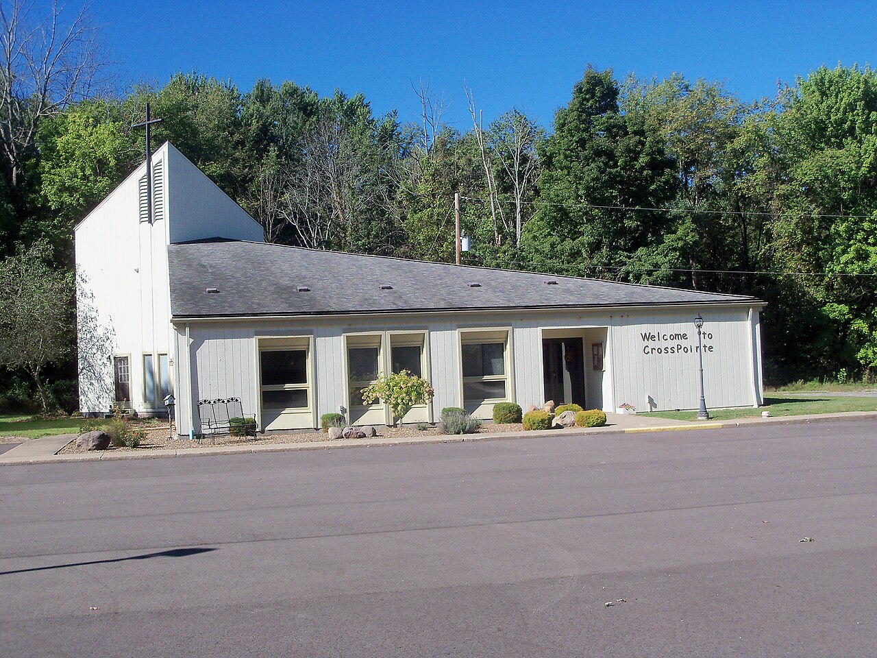
Chippewa Lake
Chippewa Lake is a 330-acre lake in Ohio. The lake is in Medina County. It is managed by Medina County Park District.
Natural lake
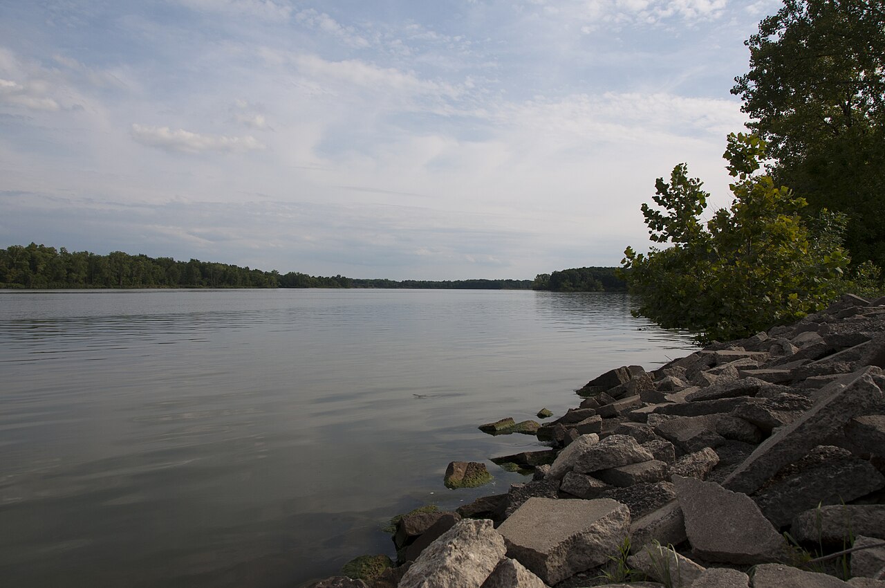
Delaware Lake
Delaware Lake is a 1,300-acre reservoir on the Olentangy River in Ohio. You will find it in Delaware County. USACE Huntington…
Reservoir
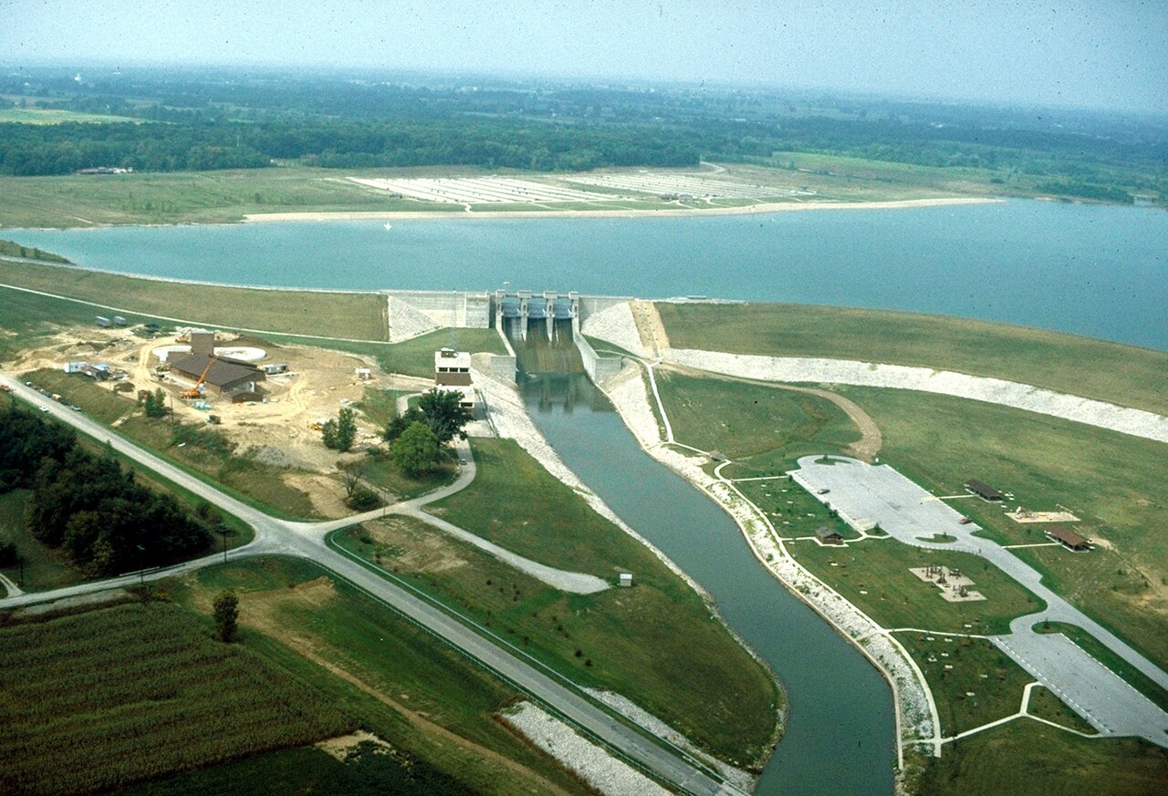
Alum Creek Lake
Alum Creek Lake covers about 3,200 acres of the Alum Creek in Ohio. Its shoreline falls inside Delaware County. Management is in…
Reservoir
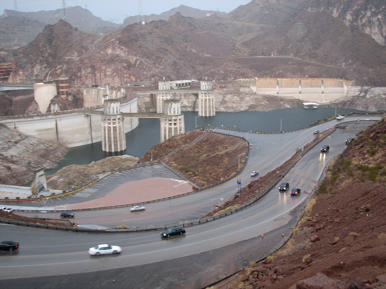
Hoover Reservoir
Hoover Reservoir is a 3,272-acre reservoir in Ohio. Its shoreline falls inside Franklin County. Management is in the hands of…
Reservoir
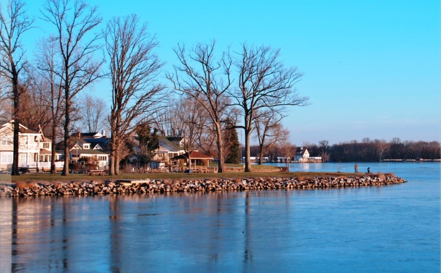
Buckeye Lake
Fed by the outflow =, Buckeye Lake holds roughly 3,173 acres of water in Ohio. It lies in Fairfield County. It is managed by Ohio…
Reservoir
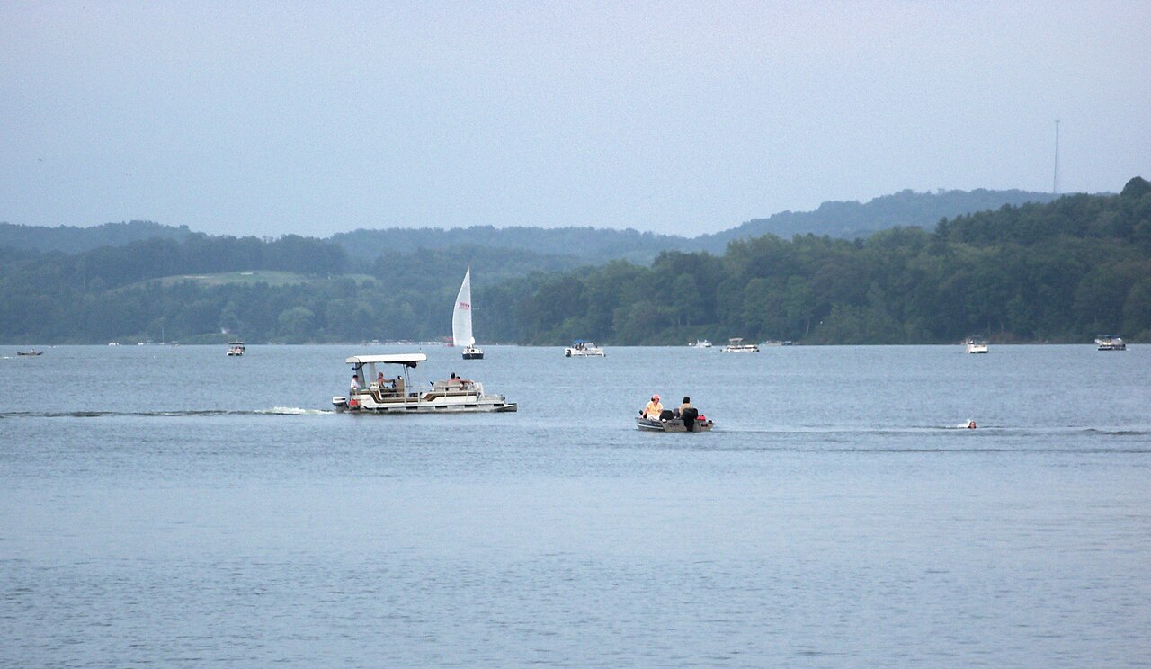
Atwood Lake
Atwood Lake covers about 1,540 acres of the Indian Fork in Ohio. It lies in Carroll County. It is managed by Muskingum Watershed…
Reservoir
Explore around Ohio
All lakes in Ohio Lakes near Mount Vernon Lakes near Wadsworth
Sources
Every figure on this page comes from one of these public sources.