
CountiesColbert County
AlabamaReservoirColbert County
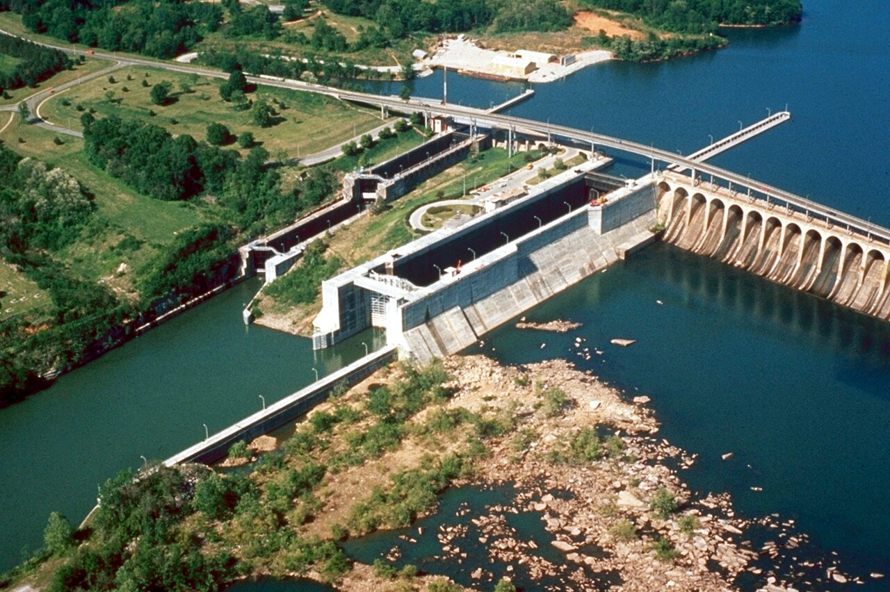
Wilson Lake
Wilson Lake is a reservoir of some 9,045 acres on the Saline River, in Kansas. You will find it in Russell County. Management is in the hands of USACE Kansas City District. The gauge last read 1,511.10 ft.
Coordinates34.8006, -87.6259
Surface area15,500 acres
RiverPickwick Lake
Managed byTVA
Swimming beaches on Wilson Lake
No named swimming beach is mapped yet for this lake. Access is through agency day-use areas and boat ramps listed below. We add beach pages only when we can confirm a name, coordinates and an operating agency.
Wilson Lake on the map
Lake center, swimming spots and access points.
Weather and water temperature
Air temperature and wind from Open-Meteo. Water temperature only when the lake has a public sensor.
Weather data by Open-Meteo
What to know before you go to Wilson Lake
Wilson Lake sits at 38.9403, -98.5567. The Saline River carries the outflow. Maximum depth is around 65 feet. Surface elevation is about 1,516 feet.
Nearby water includes Kanopolis Lake (Kansas, 39 mi), Waconda Lake (Kansas, 39 mi) and Kirwin Reservoir (Kansas, 59 mi). In all, 26 lakes in Kansas are covered here.
Most Kansas day-use areas open for the summer season and close outside it. Algae blooms are seasonal and local: look for posted signs at the ramp or park entrance. There is no water temperature sensor here, so only air conditions are shown.
Station 06868100, WILSON LK NR WILSON, KS, publishes the water surface elevation used here. The last value stored here, 1,511.10 ft, is from 2026-09-09. Over the record shown on the level page the gauge has moved between 1,510.26 ft and 1,512.11 ft (low on 2026-05-16, high on 2026-07-10). Water level decides what is usable on the shoreline, from beach width to ramp access.
Around Wilson Lake this guide maps 5 public recreation areas and 1 boat ramp. Recreation areas nearby include Lucas Park, Minooka Park and Wilson State Park. Launch points include Spillway Boat Ramp.. Parking is the usual limit on busy summer weekends.
Questions about Wilson Lake
What is the current water level at Wilson Lake?
The latest reading is 1,511.10 ft, from USGS gauge 06868100.
Is there a beach at Wilson Lake?
No named swimming beach appears in the federal and state datasets this guide reads. Check the operating agency for day-use areas on the ground.
How big is Wilson Lake?
About 9,045 acres. Maximum depth is around 65 feet.
What other lakes are near Wilson Lake?
The closest in this guide is Kanopolis Lake, about 39 miles away in Kansas.
Lakes near Wilson Lake
Other lakes in this guide, ordered by distance.
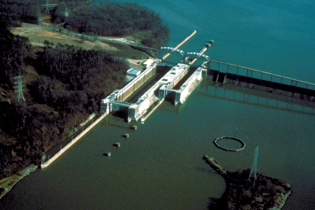
Wheeler Lake
Wheeler Lake covers about 67,213 acres of the Wilson Lake in Alabama. You will find it in Limestone County. Management is in the…
Reservoir
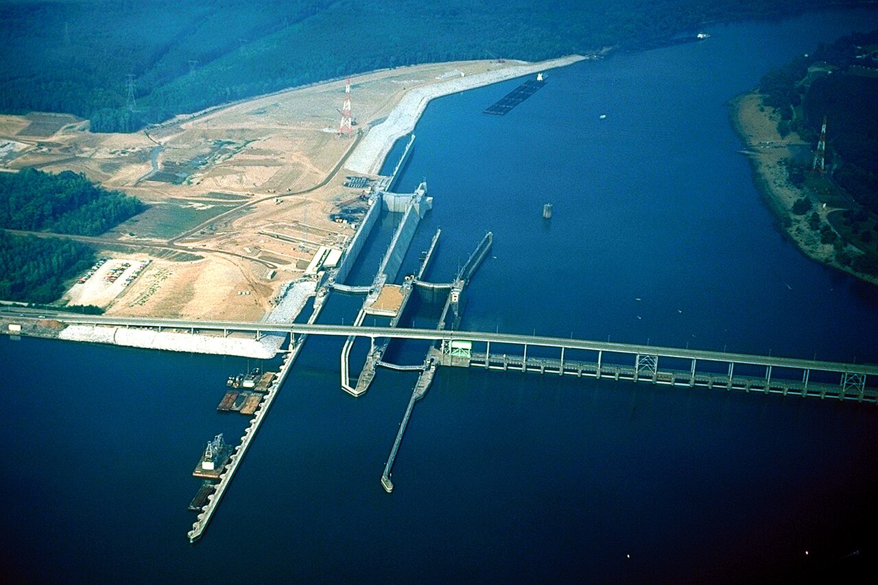
Pickwick Lake
Pickwick Lake is a reservoir of some 42,996 acres on the Tennessee River, Tennessee-Tombigbee Waterway, in Mississippi. Its…
Reservoir
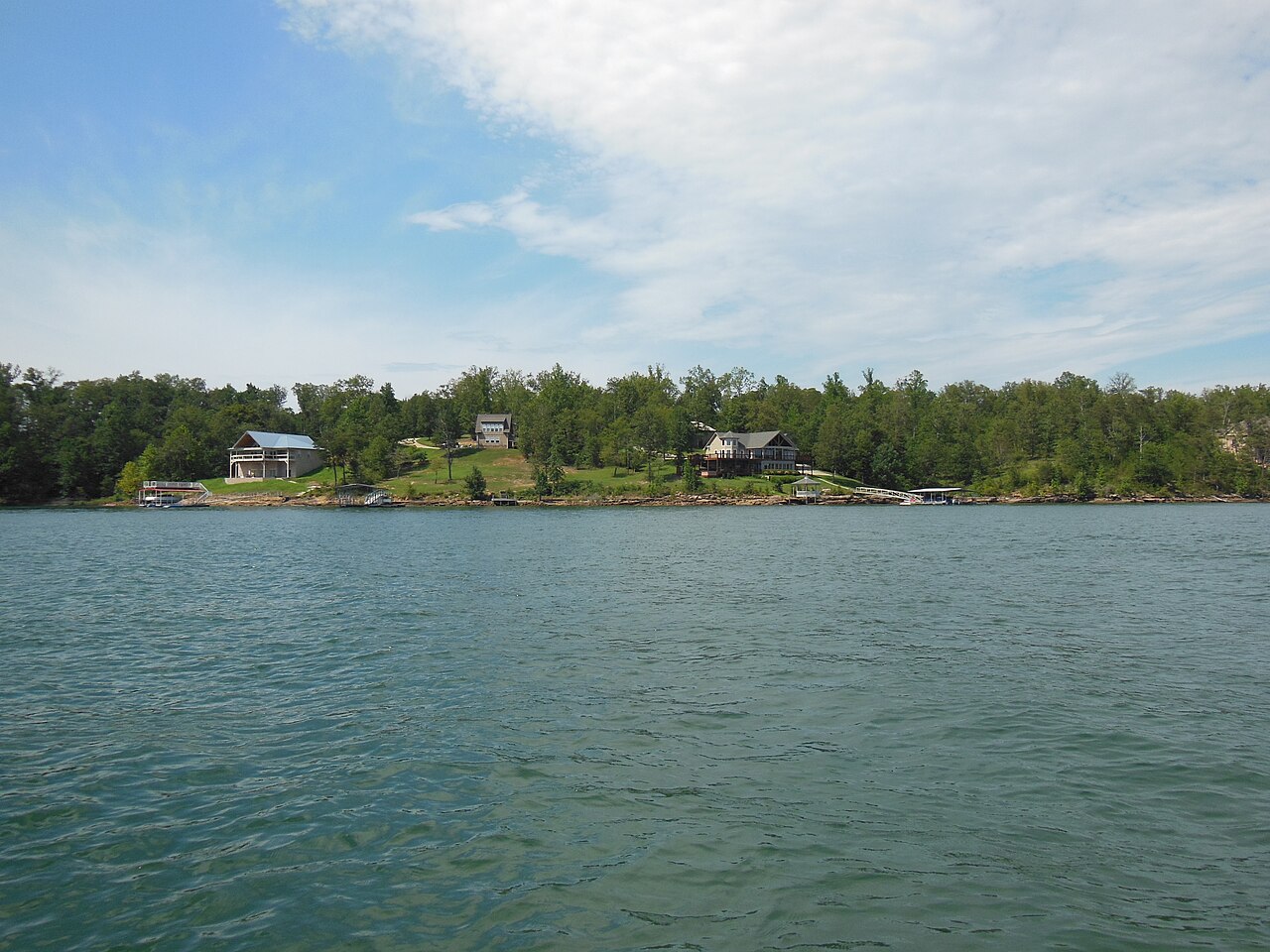
Lewis Smith Lake
Lewis Smith Lake is a 21,200-acre reservoir on the outflow = in Alabama. Its shoreline falls inside Winston County. It is managed…
Reservoir
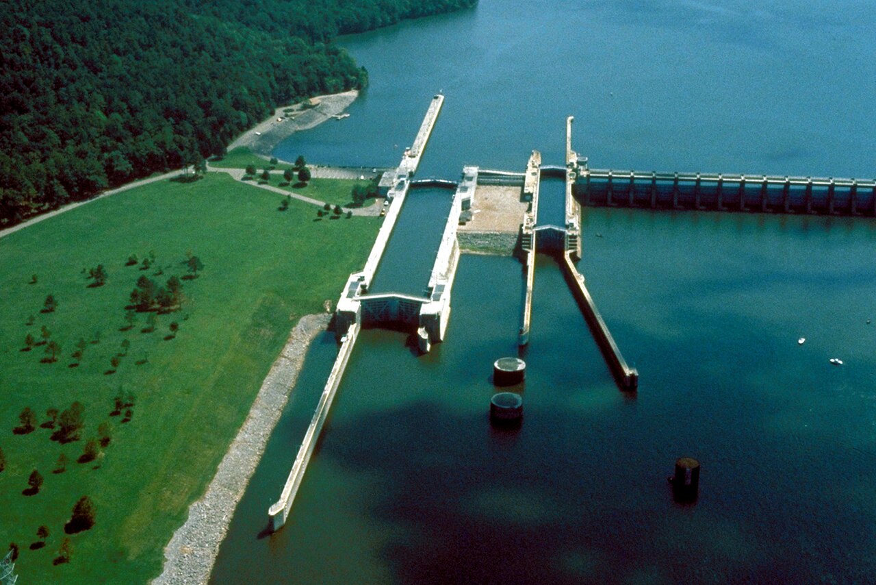
Lake Guntersville
Lake Guntersville is a 67,900-acre reservoir on the Wheeler Lake in Alabama. You will find it in Marshall County. TVA manages it.
Reservoir
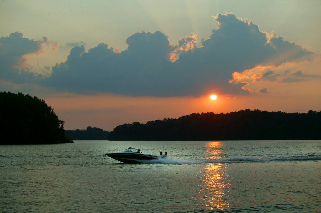
Tims Ford Lake
Tims Ford Lake is a 10,700-acre reservoir on the Elk River in Tennessee. It lies in Franklin County. TVA manages it.
Reservoir
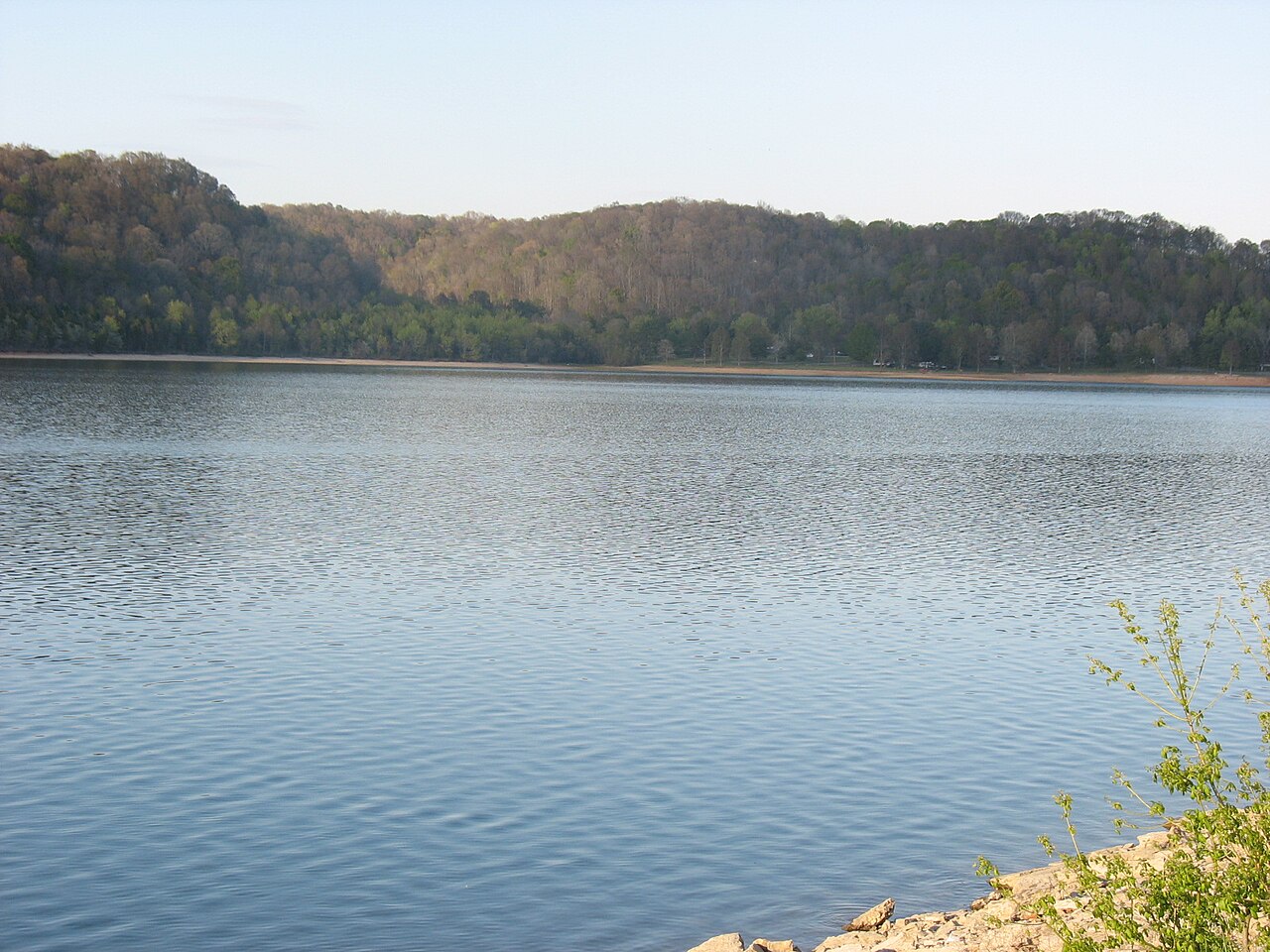
Normandy Lake
Fed by the Duck River, Normandy Lake holds roughly 3,230 acres of water in Tennessee. The lake is in Coffee County. Tennessee…
Reservoir
Explore around Alabama
Sources
Every figure on this page comes from one of these public sources.