
CountiesWayne County
MichiganNatural lakeWayne County
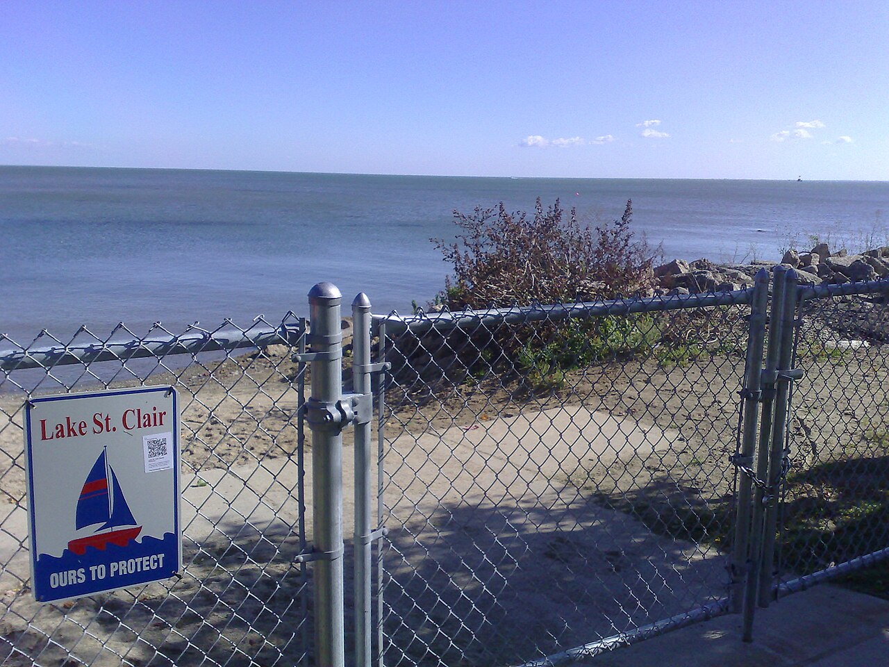
Lake St. Clair
Lake St. Clair is a lake of some 275,275 acres on the Detroit River, in Michigan. You will find it in Wayne County. It is managed by Michigan DNR / Huron-Clinton Metroparks (multiple).
Coordinates42.4503, -82.6757
Surface area275,275 acres
Max depth11 ft
RiverDetroit River
Managed byMichigan DNR / Huron-Clinton Metroparks (multiple)
Swimming beaches on Lake St. Clair
No named swimming beach is mapped yet for this lake. Access is through agency day-use areas and boat ramps listed below. We add beach pages only when we can confirm a name, coordinates and an operating agency.
Lake St. Clair on the map
Lake center, swimming spots and access points.
Weather and water temperature
Air temperature and wind from Open-Meteo. Water temperature only when the lake has a public sensor.
Weather data by Open-Meteo
Lake St. Clair: access and conditions
The center of the lake is at 42.4503, -82.6757. It reaches roughly 11 feet at its deepest. The surface sits around 574 feet above sea level.
No public gauge reports the water level at Lake St. Clair, so this page shows no level chart. We would rather leave the figure out than publish an estimate that nobody measured. We check the public feeds daily, so this page will fill in if one appears.
No agency lists a named swimming spot at Lake St. Clair. Shoreline access here is likely informal. Where there is no marked beach, entry is usually from a boat ramp or an unimproved bank.
The closest lakes in this guide are Cass Lake (Michigan, 37 mi), White Lake (Michigan, 44 mi) and Lake Fenton (Michigan, 59 mi). Michigan has 42 lakes on this site in total.
Most Michigan day-use areas open for the summer season and close outside it. No public sensor reports water temperature at Lake St. Clair, so the panel shows air temperature and wind. If the water looks like pea soup or paint, stay out and report it to the managing agency.
Questions about Lake St. Clair
Is there a beach at Lake St. Clair?
No named swimming beach appears in the federal and state datasets this guide reads. Check the operating agency for day-use areas on the ground.
How big is Lake St. Clair?
About 275,275 acres. Maximum depth is around 11 feet.
What other lakes are near Lake St. Clair?
The closest in this guide is Cass Lake, about 37 miles away in Michigan.
Lakes near Lake St. Clair
Other lakes in this guide, ordered by distance.
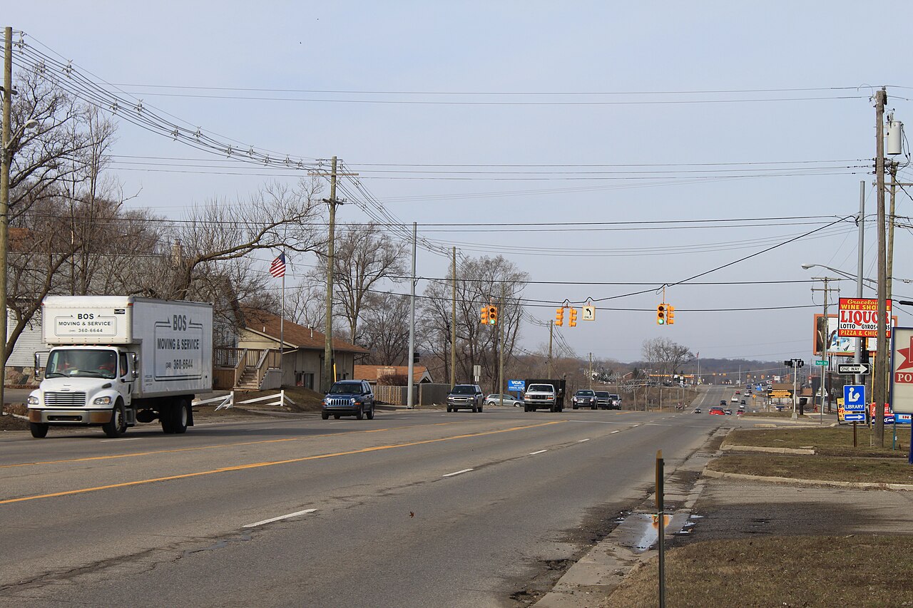
White Lake
White Lake covers about 2,571 acres in Michigan. Its shoreline falls inside Oakland County. Michigan DNR manages it.
Natural lake
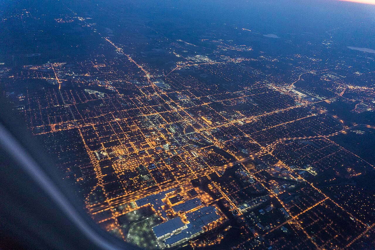
Lake Lansing
Fed by the Pine Lake Outlet, Lake Lansing holds roughly 461 acres of water in Michigan. The lake is in Ingham County. It is…
Natural lake
Chippewa Lake
Chippewa Lake is a 330-acre lake in Ohio. The lake is in Medina County. It is managed by Medina County Park District.
Natural lake
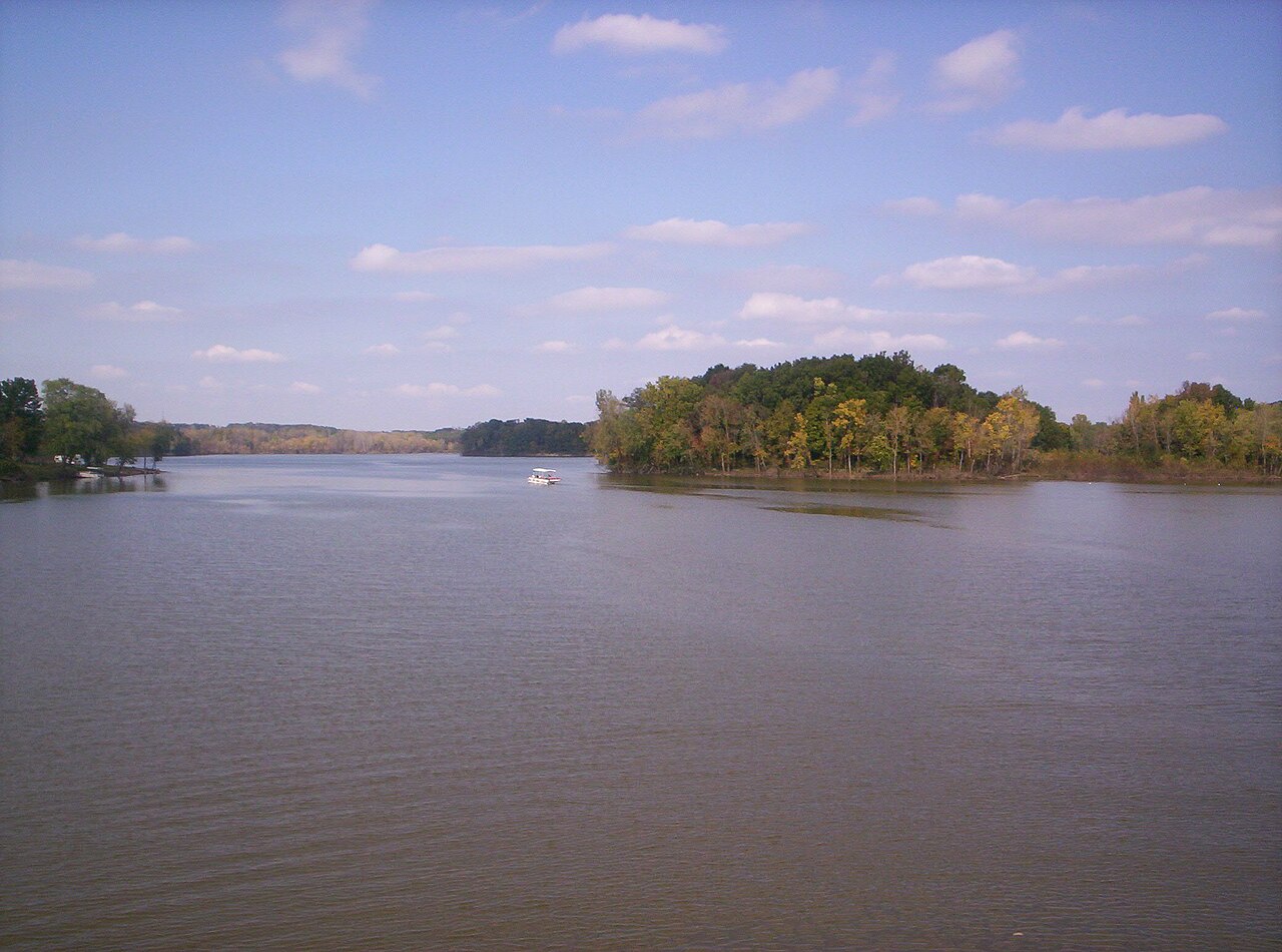
Charles Mill Lake
Charles Mill Lake is a reservoir of some 1,350 acres on the Black Fork Mohican River, in Ohio. You will find it in Ashland…
Reservoir
Lake Milton
Lake Milton is a 1,685-acre reservoir in Ohio. The lake is in Mahoning County. Ohio DNR — Division of Parks & Watercraft manages…
Reservoir
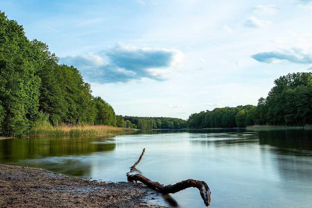
Berlin Lake
Berlin Lake covers about 3,590 acres in Ohio. You will find it in Portage County. USACE Pittsburgh District manages it. The gauge…
Reservoir
Explore around Michigan
Sources
Every figure on this page comes from one of these public sources.