
Coordinates37.0208, -88.2228
KentuckyReservoir
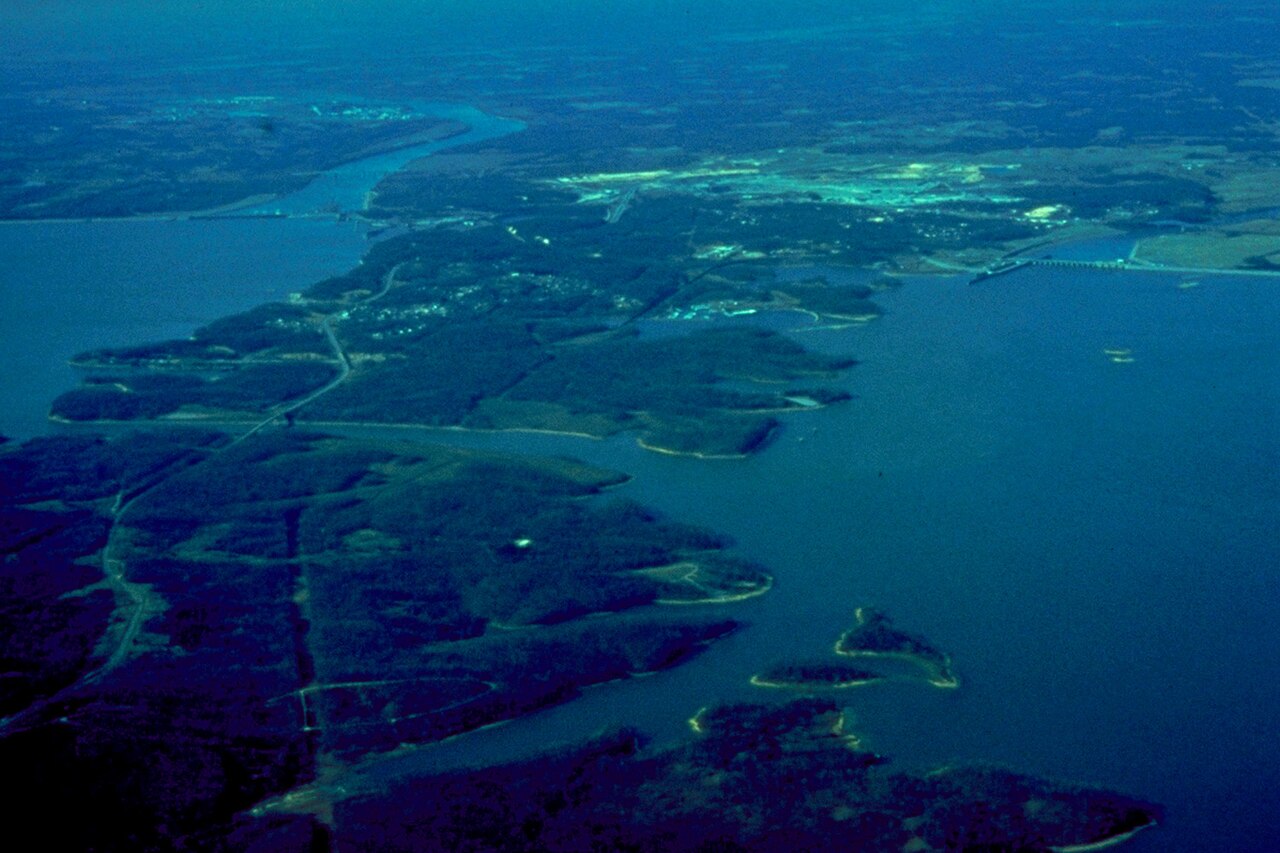
Lake Barkley
Lake Barkley is a reservoir of some 57,920 acres on the catchment =, in Kentucky. Management is in the hands of USACE Nashville District / KY State Parks. This guide maps 1 named swimming spot around its shoreline.
Surface area57,920 acres
Rivercatchment =
Managed byUSACE Nashville District / KY State Parks
Swimming beaches on Lake Barkley
1 named swimming spot and shoreline access points, from USGS GNIS, Recreation.gov and the Forest Service. None is staffed by a lifeguard unless the operating agency posts one.
Lake Barkley on the map
Lake center, swimming spots and access points.
Weather and water temperature
Air temperature and wind from Open-Meteo. Water temperature only when the lake has a public sensor.
Weather data by Open-Meteo
A closer look at Lake Barkley
Its coordinates are 37.0208, -88.2228. It lies at roughly 358 feet of elevation. Outflow feeds the catchment =.
We check the public feeds daily, so this page will fill in if one appears. No public gauge reports the water level at Lake Barkley, so this page shows no level chart. We would rather leave the figure out than publish an estimate that nobody measured.
The closest lakes in this guide are Kentucky Lake (Kentucky, 3 mi), Devils Kitchen Lake (Illinois, 64 mi) and Little Grassy Lake (Illinois, 66 mi). Kentucky has 18 lakes on this site in total.
Water temperature is not measured at this lake by any public agency we read. Check the operating agency for advisories before any water contact, especially for blue-green algae in late summer. Most Kentucky day-use areas open for the summer season and close outside it.
Around Lake Barkley this guide maps 1 named swimming spot, 3 public recreation areas and 1 boat ramp. Launch points include Boyds Landing.. These come from Recreation.gov (RIDB). Barkley Lake are on the list. Recreation areas nearby include Canal Campground, Eureka and Poplar Creek. Fees and opening dates are set by each park, not by the agency that runs the water.
Recreation areas on Lake Barkley
3 public recreation areas mapped around the lake by the U.S. Army Corps of Engineers. Facilities vary by area; check the managing office for opening dates and fees.
Canal Campground Eureka Poplar Creek
Source: USACE Recreation Areas
Boat ramps and access points
Public launch points recorded around the lake. Low water can close shallow ramps, so check the level before hauling a trailer.
| Name | Operated by | Distance | Source |
|---|---|---|---|
| Boyds Landing | Corps Of Engineers | 3.5 mi | source |
Ramp data: USACE Recreation Areas
Questions about Lake Barkley
Can you swim in Lake Barkley?
Yes. This guide maps 1 named swimming spot around the lake, including Barkley Lake. None is staffed by a lifeguard unless the operating agency posts one.
How big is Lake Barkley?
About 57,920 acres.
What other lakes are near Lake Barkley?
The closest in this guide is Kentucky Lake, about 3 miles away in Kentucky.
Lakes near Lake Barkley
Other lakes in this guide, ordered by distance.
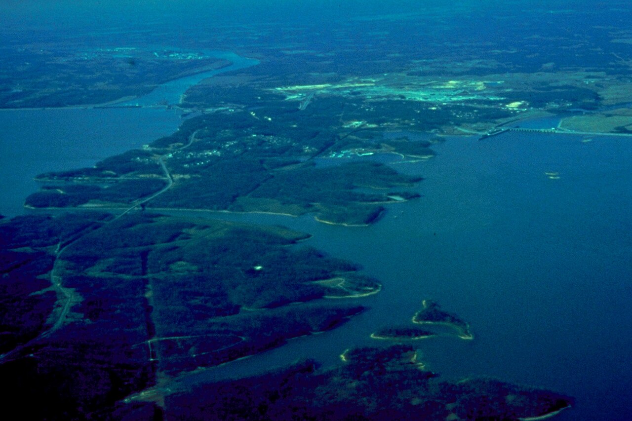
Kentucky Lake
Kentucky Lake covers about 160,309 acres of the outflow = in Kentucky. TVA manages it.
Reservoir
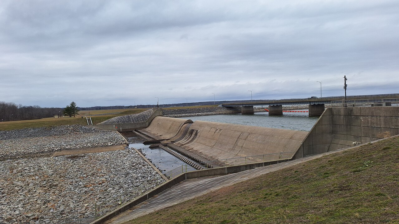
Rend Lake
Rend Lake covers about 18,900 acres of the Big Muddy River in Illinois. You will find it in Franklin County. Management is in the…
Reservoir
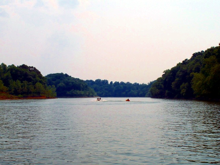
Rough River Lake
Fed by the Rough River, Rough River Lake holds roughly 5,100 acres of water in Kentucky. It lies in Breckinridge County. USACE…
Reservoir1 beach
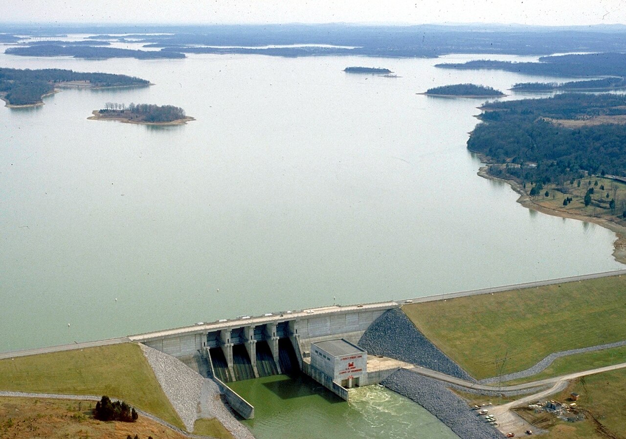
Percy Priest Lake
Percy Priest Lake is a reservoir of some 14,200 acres on the Stones River, in Tennessee. It is managed by USACE Nashville…
Reservoir4 beaches
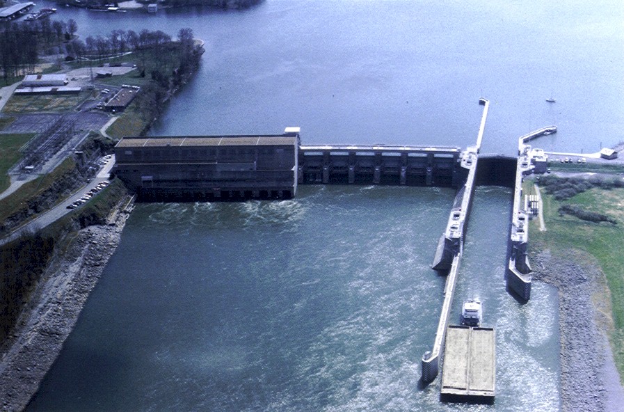
Old Hickory Lake
Fed by the Cumberland River, Old Hickory Lake holds roughly 22,500 acres of water in Tennessee. It lies in Sumner County. It is…
Reservoir
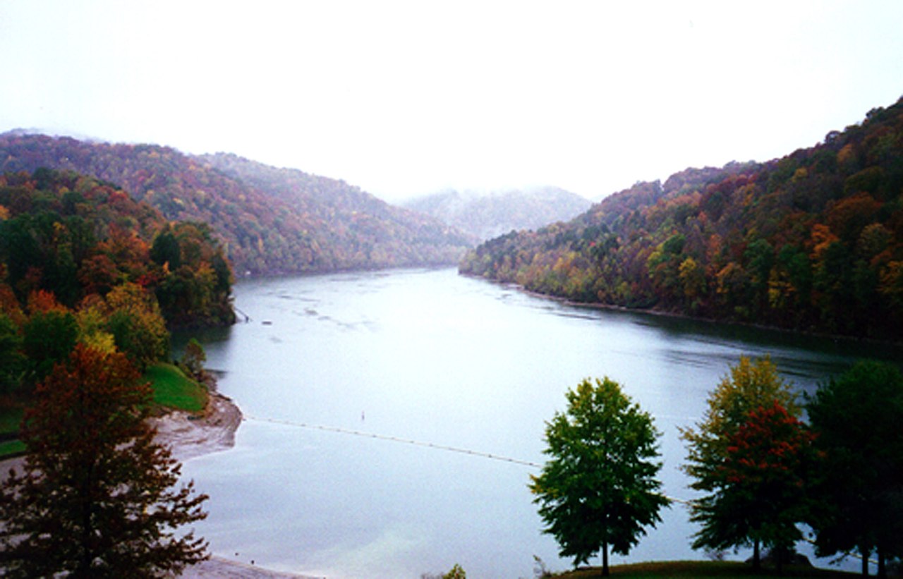
Nolin River Lake
Nolin River Lake covers about 5,795 acres of the Nolin River in Kentucky. USACE Louisville District manages it. The gauge last…
Reservoir
Explore around Kentucky
Sources
Every figure on this page comes from one of these public sources.