
CountiesCarter County
KentuckyReservoirCarter County
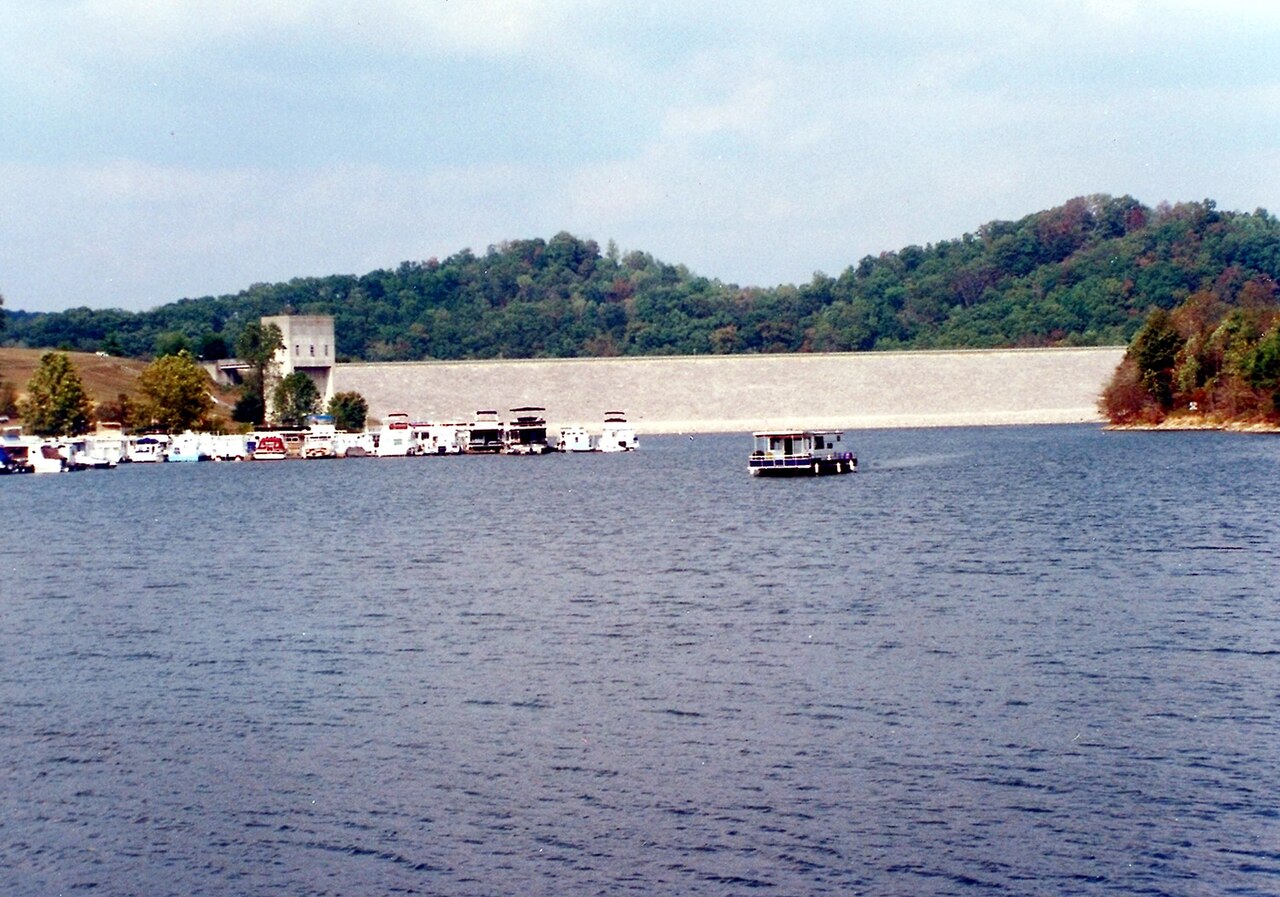
Grayson Lake
Grayson Lake is a 1,500-acre reservoir on the Little Sandy River in Kentucky. Its shoreline falls inside Carter County. USACE Huntington District manages it. The latest reading is 44.38 ft, 589.6 ft below the 634.0 ft full pool.
Coordinates38.2515, -82.9839
Surface area1,500 acres
Max depth60 ft
Full pool634.0 ft
RiverLittle Sandy River
Managed byUSACE Huntington District
Swimming beaches on Grayson Lake
No named swimming beach is mapped yet for this lake. Access is through agency day-use areas and boat ramps listed below. We add beach pages only when we can confirm a name, coordinates and an operating agency.
Grayson Lake on the map
Lake center, swimming spots and access points.
Weather and water temperature
Air temperature and wind from Open-Meteo. Water temperature only when the lake has a public sensor.
Weather data by Open-Meteo
Visiting Grayson Lake
On the map, Grayson Lake is centered near 38.2515, -82.9839. The deepest point on record is about 60 feet. The surface sits around 643 feet above sea level. Releases go downstream into the Little Sandy River.
If Grayson Lake is busy, the nearest alternatives here are Yatesville Lake (Kentucky, 18 mi), Paintsville Lake (Kentucky, 28 mi) and Cave Run Lake (Kentucky, 30 mi). Kentucky has 18 lakes on this site in total.
Season dates vary by park; the operating agency publishes them each spring. Water temperature is not measured at this lake by any public agency we read. Inland lakes are not monitored the way ocean beaches are, so posted signs matter more here.
Around Grayson Lake this guide maps 4 public recreation areas. Recreation areas nearby include Camp Webb, Clifty and Rolling Hills. None is staffed by a lifeguard unless the managing agency posts one.
Station 03216300, GRAYSON LAKE NEAR LEON, KY, publishes the water surface elevation used here. The Corps of Engineers puts the top of the flood pool at 681.0 ft. The agency sets full pool at 634.0 ft. The last value stored here, 44.38 ft, is from 2026-09-09. The top of the dam sits at 710.0 ft. A low pool exposes stumps and mud in the shallow arms of the lake.
Recreation areas on Grayson Lake
4 public recreation areas mapped around the lake by the U.S. Army Corps of Engineers. Facilities vary by area; check the managing office for opening dates and fees.
Camp Webb Clifty Rolling Hills Bruin
Source: USACE Recreation Areas
Questions about Grayson Lake
What is the current water level at Grayson Lake?
The latest reading is 44.38 ft, 589.6 ft below the 634.0 ft full pool, from USGS gauge 03216300.
What is full pool at Grayson Lake?
Full pool is 634.0 ft. Water above that level is flood storage and is released as conditions allow.
Is there a beach at Grayson Lake?
No named swimming beach appears in the federal and state datasets this guide reads. Check the operating agency for day-use areas on the ground.
How big is Grayson Lake?
About 1,500 acres. Maximum depth is around 60 feet.
What other lakes are near Grayson Lake?
The closest in this guide is Yatesville Lake, about 18 miles away in Kentucky.
Lakes near Grayson Lake
Other lakes in this guide, ordered by distance.
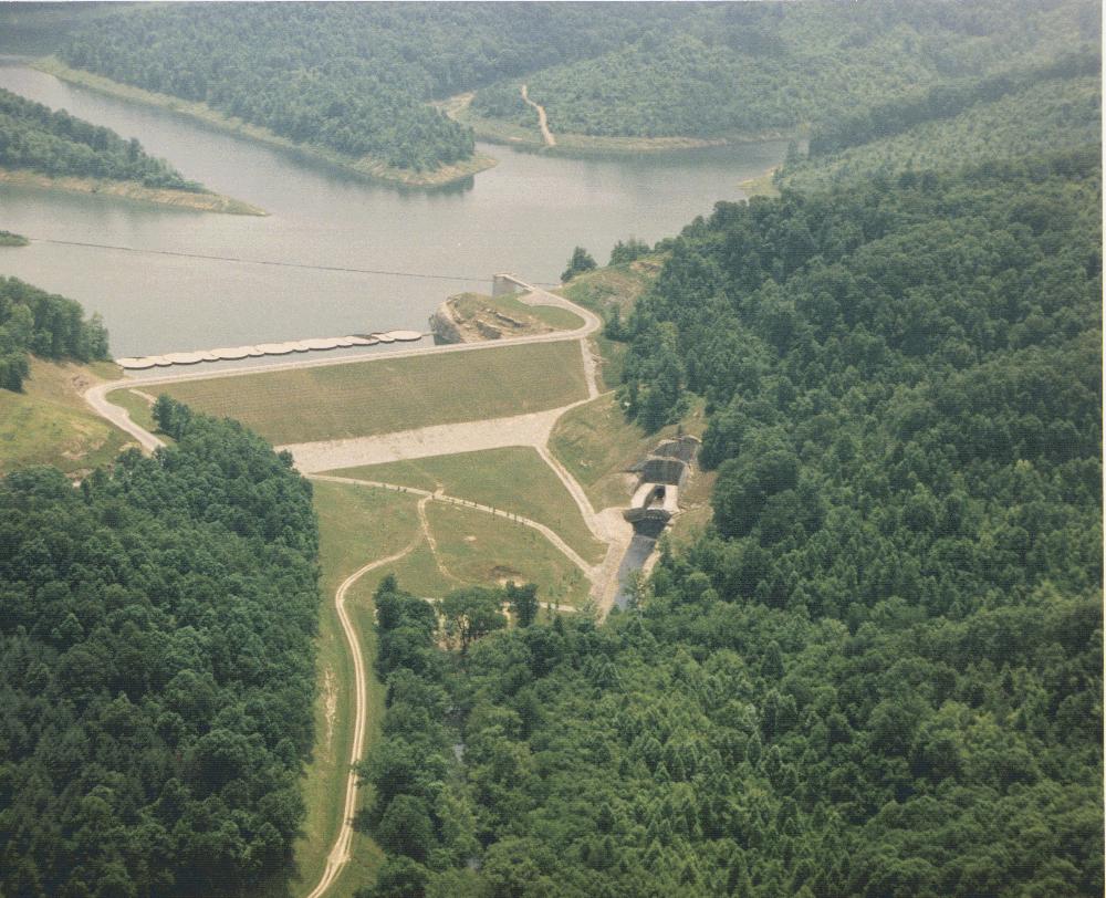
Yatesville Lake
Fed by the catchment =, Yatesville Lake holds roughly 2,242 acres of water in Kentucky. You will find it in Lawrence County.…
Reservoir
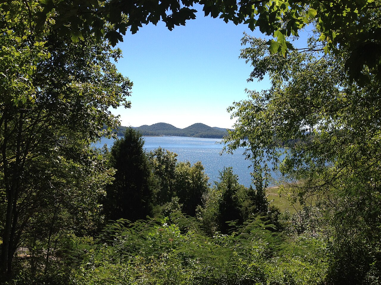
Cave Run Lake
Cave Run Lake is a 8,270-acre reservoir on the catchment = in Kentucky. You will find it in Rowan County. Management is in the…
Reservoir1 beach
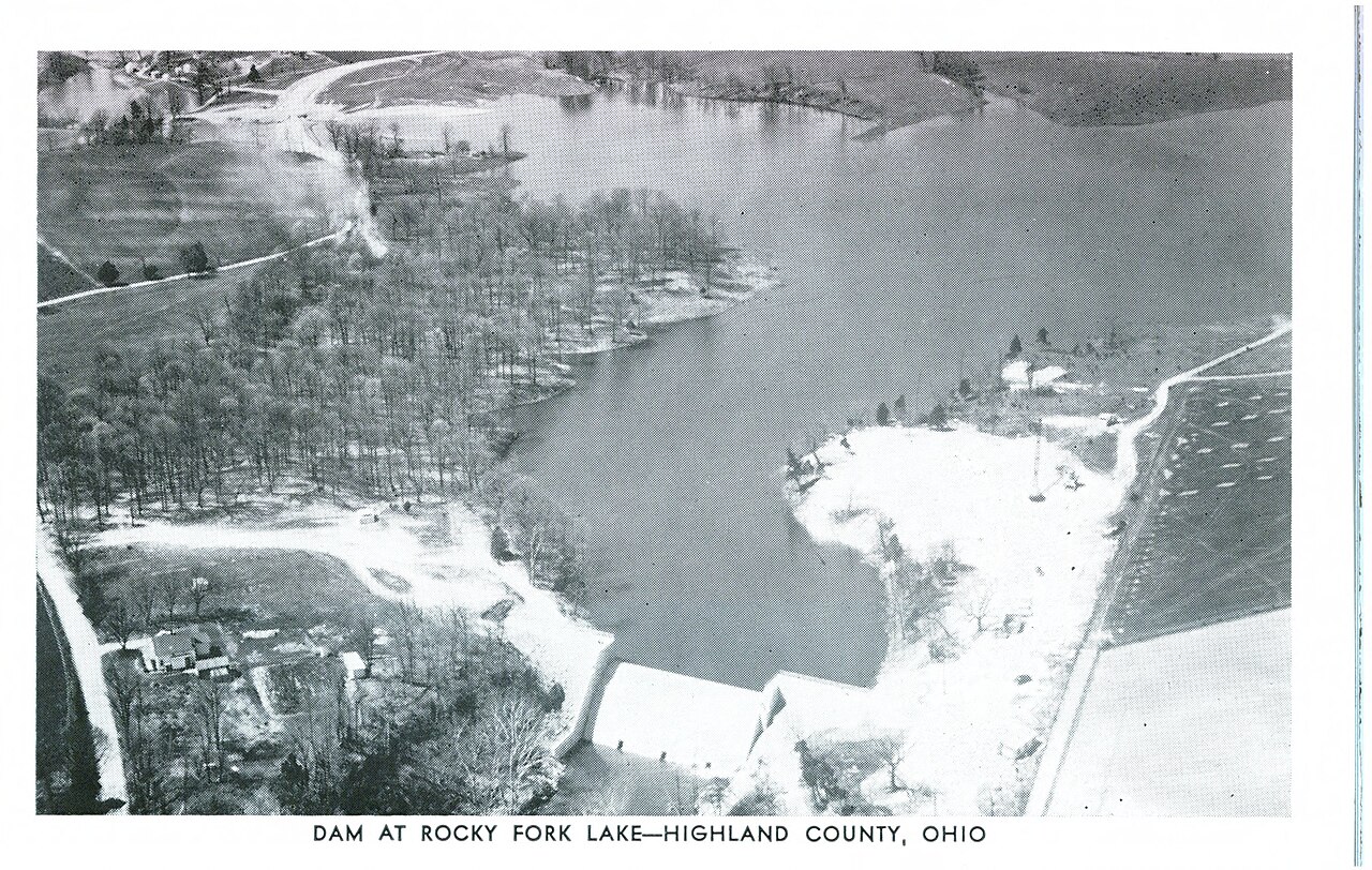
Rocky Fork Lake
At roughly 2,080 acres, Rocky Fork Lake is one of the lakes covered in Ohio. The lake is in Highland County. It is managed by…
Reservoir
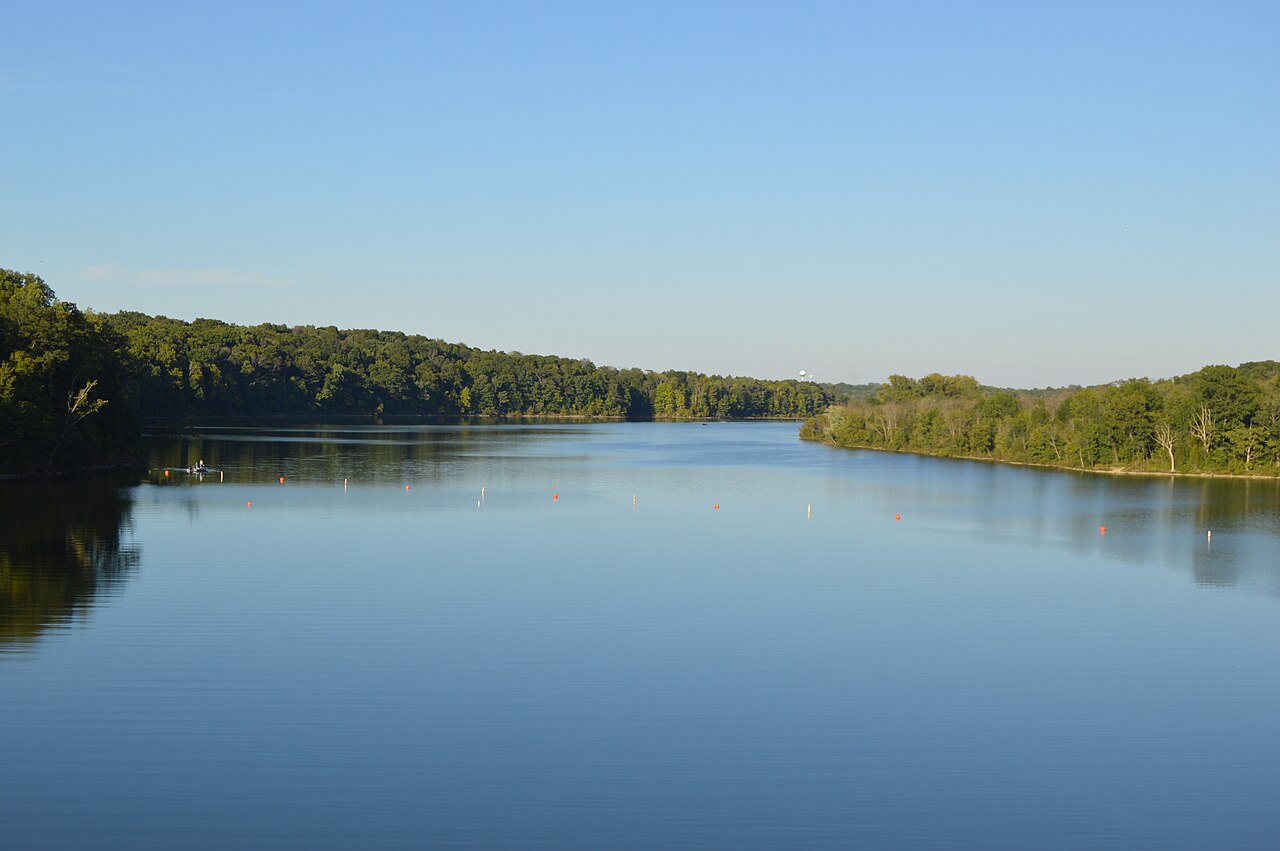
Caesar Creek Lake
Caesar Creek Lake is a 2,830-acre reservoir on the Caesar Creek in Ohio. It lies in Warren County. USACE Louisville District /…
Reservoir
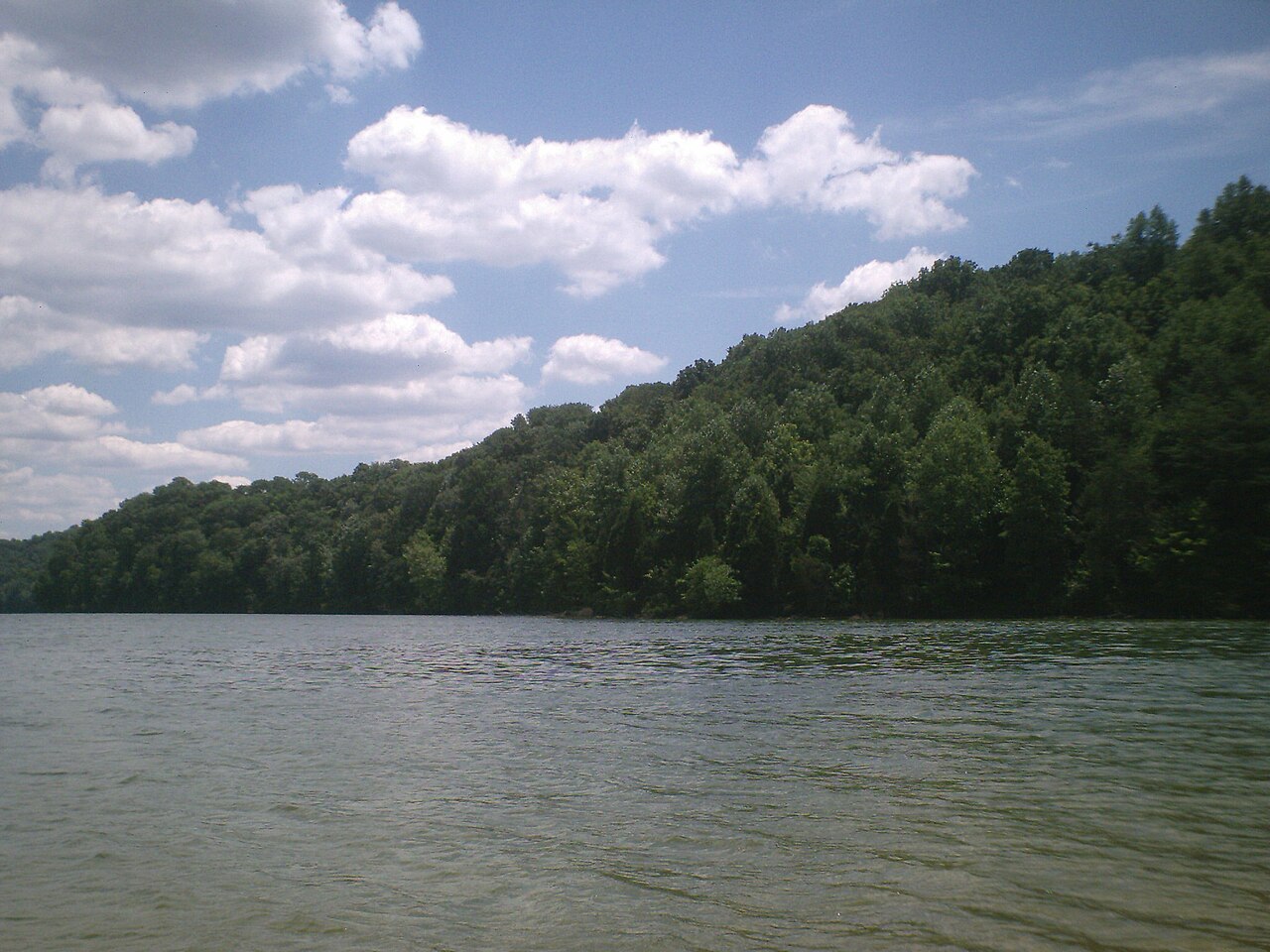
Herrington Lake
Fed by the catchment =, Herrington Lake holds roughly 2,335 acres of water in Kentucky. It lies in Boyle County. Kentucky…
Reservoir
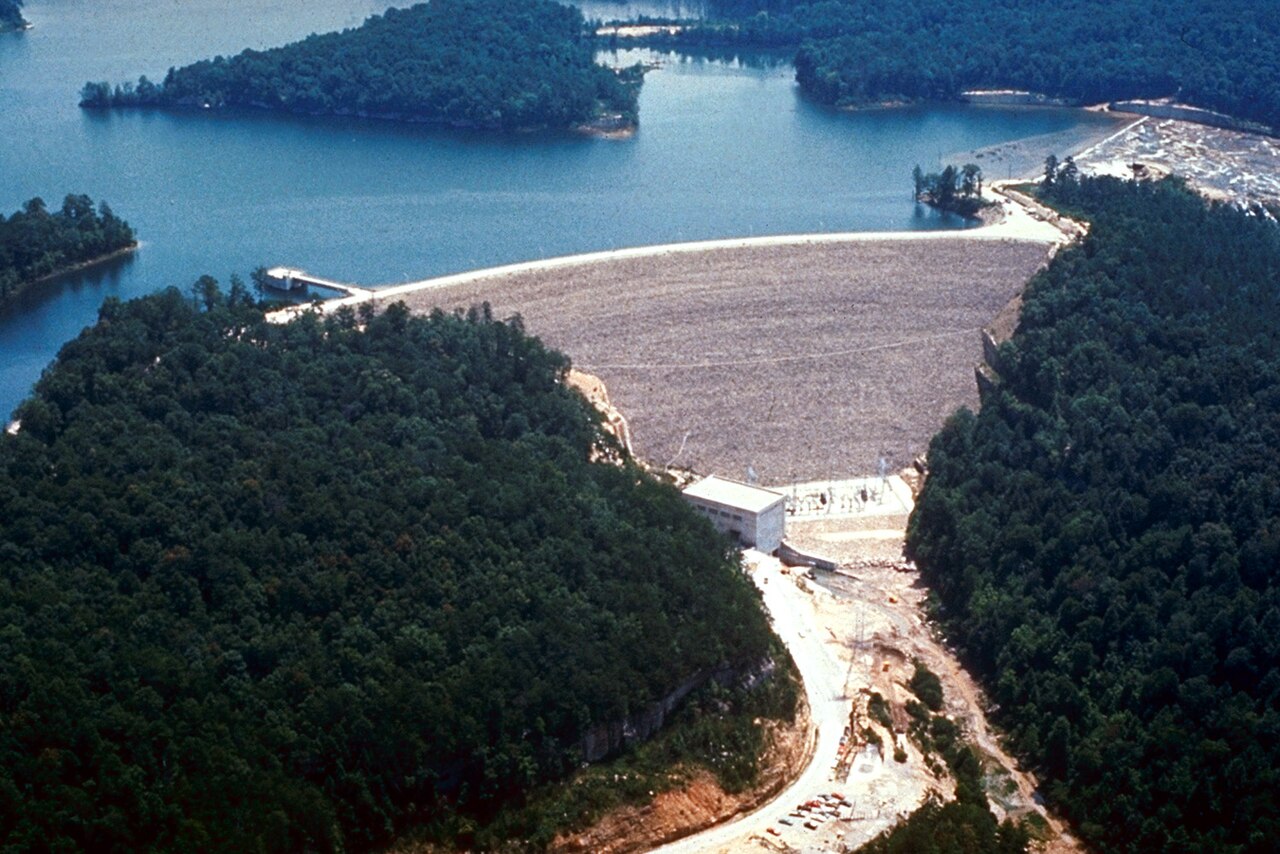
Laurel River Lake
Laurel River Lake is a 5,600-acre reservoir on the outflow = in Kentucky. It lies in Laurel County. Management is in the hands of…
Reservoir1 beach
Explore around Kentucky
Sources
Every figure on this page comes from one of these public sources.