
CountiesRowan County
KentuckyReservoirRowan County
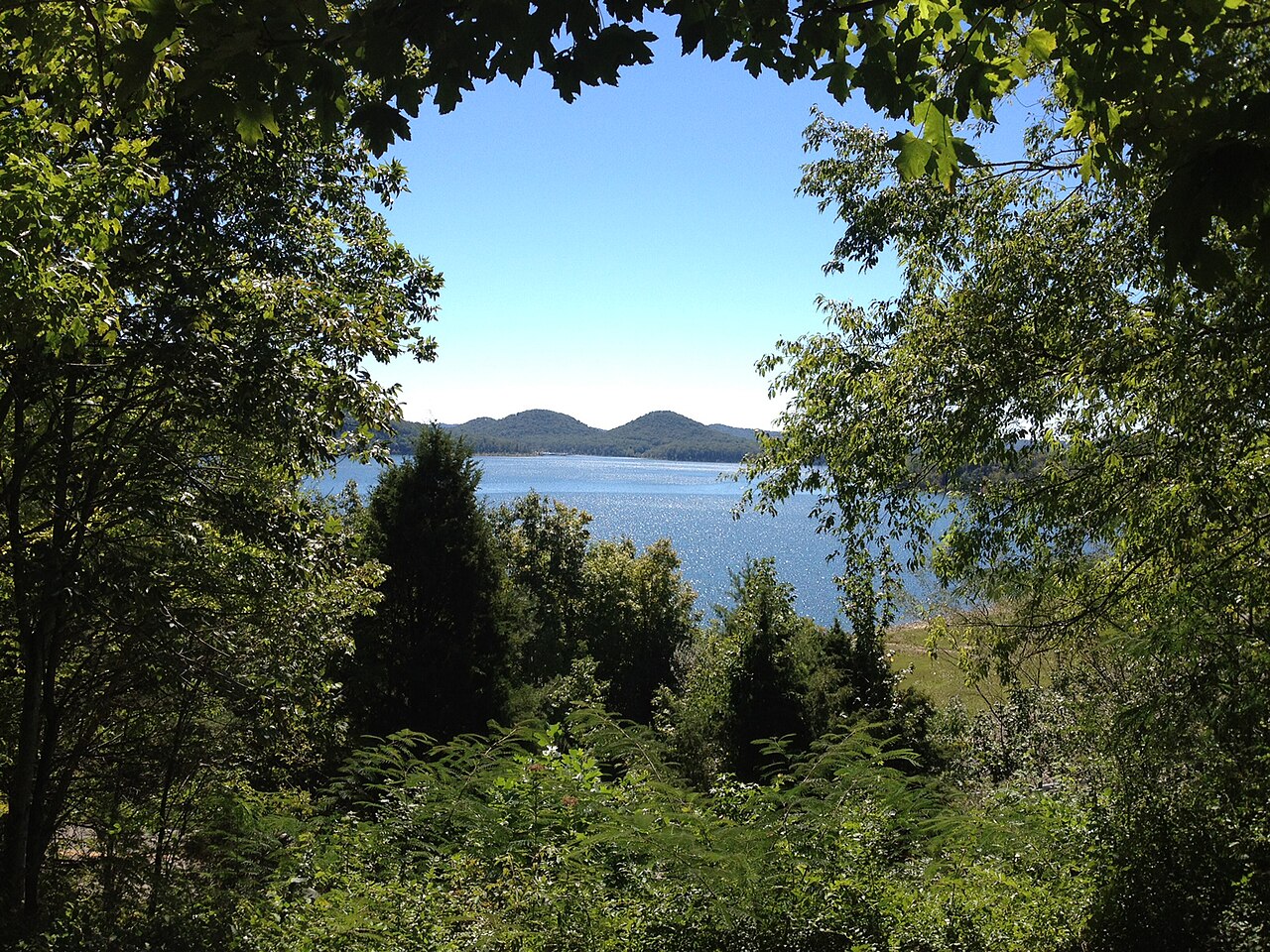
Cave Run Lake
Cave Run Lake is a 8,270-acre reservoir on the catchment = in Kentucky. You will find it in Rowan County. Management is in the hands of USACE Louisville District. The latest reading is 730.21 ft, 0.2 ft above the 730.0 ft full pool.
Water level today: 730.21 ft · see the full record
Coordinates38.0815, -83.4915
Surface area8,270 acres
Full pool730.0 ft
Rivercatchment =
Managed byUSACE Louisville District
Swimming beaches on Cave Run Lake
1 named swimming spot and shoreline access points, from USGS GNIS, Recreation.gov and the Forest Service. None is staffed by a lifeguard unless the operating agency posts one.
Cave Run Lake on the map
Lake center, swimming spots and access points.
Weather and water temperature
Air temperature and wind from Open-Meteo. Water temperature only when the lake has a public sensor.
Weather data by Open-Meteo
Water level today
Station 03249498, CAVE RUN LAKE NEAR FARMERS, KY, publishes the water surface elevation used here. The conservation pool tops out at 730.0 ft. The last value stored here, 730.21 ft, is from 2026-09-09. The top of the dam sits at 788.0 ft. The Corps of Engineers puts the top of the flood pool at 765.0 ft. Beach width and ramp access both move with the pool, so the number above is worth a look first.
730.21 ft trend not available
A closer look at Cave Run Lake
The center of the lake is at 38.0815, -83.4915. It lies at roughly 722 feet of elevation. Water leaves through the catchment =.
There is no water temperature sensor here, so only air conditions are shown. Check the operating agency for advisories before any water contact, especially for blue-green algae in late summer. Swimming season in Kentucky runs through the warm months, and day-use areas set their own opening dates.
Station 03249498, CAVE RUN LAKE NEAR FARMERS, KY, publishes the water surface elevation used here. The conservation pool tops out at 730.0 ft. The last value stored here, 730.21 ft, is from 2026-09-09. The top of the dam sits at 788.0 ft. The Corps of Engineers puts the top of the flood pool at 765.0 ft. Beach width and ramp access both move with the pool, so the number above is worth a look first.
Around Cave Run Lake this guide maps 1 named swimming spot. These come from Recreation.gov (RIDB). Among them are Cumberland District. Assume no lifeguard is on duty and keep children within reach.
Nearby water includes Grayson Lake (Kentucky, 30 mi), Paintsville Lake (Kentucky, 36 mi) and Yatesville Lake (Kentucky, 41 mi). Kentucky has 18 lakes on this site in total.
Questions about Cave Run Lake
Can you swim in Cave Run Lake?
Yes. This guide maps 1 named swimming spot around the lake, including Cumberland District. None is staffed by a lifeguard unless the operating agency posts one.
How big is Cave Run Lake?
About 8,270 acres.
What other lakes are near Cave Run Lake?
The closest in this guide is Grayson Lake, about 30 miles away in Kentucky.
Lakes near Cave Run Lake
Other lakes in this guide, ordered by distance.
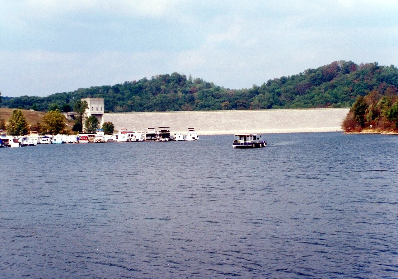
Grayson Lake
Grayson Lake is a 1,500-acre reservoir on the Little Sandy River in Kentucky. Its shoreline falls inside Carter County. USACE…
Reservoir
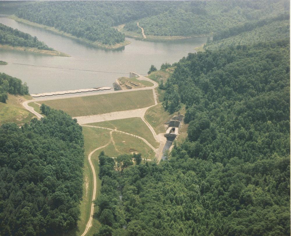
Yatesville Lake
Fed by the catchment =, Yatesville Lake holds roughly 2,242 acres of water in Kentucky. You will find it in Lawrence County.…
Reservoir
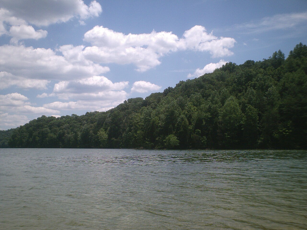
Herrington Lake
Fed by the catchment =, Herrington Lake holds roughly 2,335 acres of water in Kentucky. It lies in Boyle County. Kentucky…
Reservoir
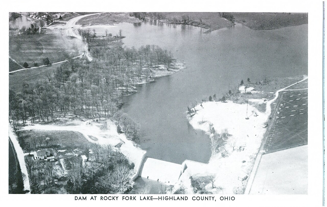
Rocky Fork Lake
At roughly 2,080 acres, Rocky Fork Lake is one of the lakes covered in Ohio. The lake is in Highland County. It is managed by…
Reservoir
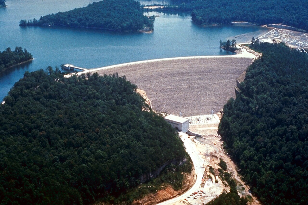
Laurel River Lake
Laurel River Lake is a 5,600-acre reservoir on the outflow = in Kentucky. It lies in Laurel County. Management is in the hands of…
Reservoir1 beach
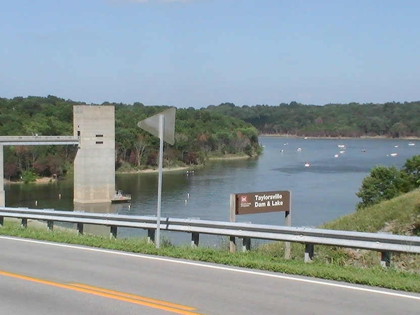
Taylorsville Lake
Taylorsville Lake covers about 3,050 acres of the Salt River in Kentucky. Its shoreline falls inside Spencer County. It is…
Reservoir
Explore around Kentucky
Sources
Every figure on this page comes from one of these public sources.