
CountiesSangamon County
IllinoisReservoirSangamon County
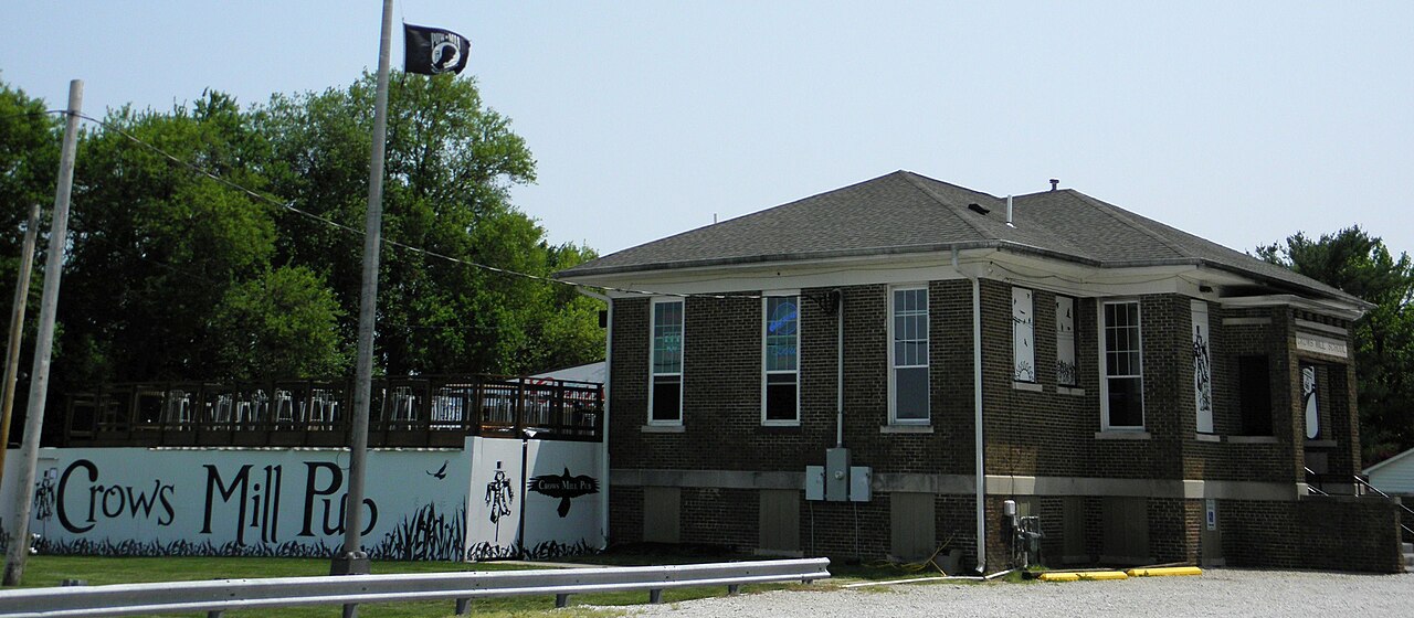
Lake Springfield
Lake Springfield covers about 3,965 acres of the Sugar Creek in Illinois. Its shoreline falls inside Sangamon County. Management is in the hands of City Water, Light, and Power (CWLP).
Coordinates39.7594, -89.6003
Surface area3,965 acres
Max depth27 ft
RiverSugar Creek
Managed byCity Water, Light, and Power (CWLP)
Swimming beaches on Lake Springfield
No named swimming beach is mapped yet for this lake. Access is through agency day-use areas and boat ramps listed below. We add beach pages only when we can confirm a name, coordinates and an operating agency.
Lake Springfield on the map
Lake center, swimming spots and access points.
Weather and water temperature
Air temperature and wind from Open-Meteo. Water temperature only when the lake has a public sensor.
Weather data by Open-Meteo
Planning a day at Lake Springfield
Its coordinates are 39.7594, -89.6003. The deepest point on record is about 27 feet. It lies at roughly 560 feet of elevation. Water leaves through the Sugar Creek.
The closest lakes in this guide are Lake Decatur (Illinois, 36 mi), Lake Shelbyville (Illinois, 51 mi) and Lake Mattoon (Illinois, 66 mi). Illinois has 9 lakes on this site in total.
Freshwater advisories are issued locally, so check the state health department before you swim. There is no water temperature sensor here, so only air conditions are shown. Swimming season in Illinois runs through the warm months, and day-use areas set their own opening dates.
Nobody publishes a continuous level for Lake Springfield in a form this guide can read, so the page carries access and weather instead. If the operating agency starts publishing a level for this lake, it will appear here.
Public datasets record no beach at Lake Springfield, so treat any shoreline access as unmarked and unsupervised. Shoreline access on lakes like this one is often informal and unsigned.
Questions about Lake Springfield
Is there a beach at Lake Springfield?
No named swimming beach appears in the federal and state datasets this guide reads. Check the operating agency for day-use areas on the ground.
How big is Lake Springfield?
About 3,965 acres. Maximum depth is around 27 feet.
What other lakes are near Lake Springfield?
The closest in this guide is Lake Decatur, about 36 miles away in Illinois.
Lakes near Lake Springfield
Other lakes in this guide, ordered by distance.
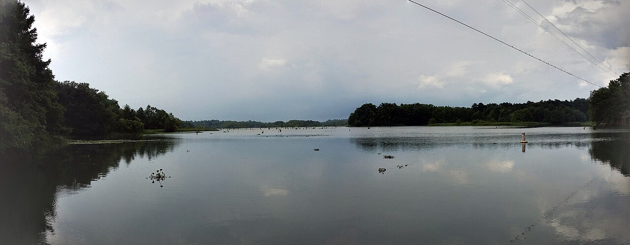
Lake Decatur
Lake Decatur is a 2,718-acre reservoir on the Sangamon River in Illinois. The lake is in Macon County. Management is in the hands…
Reservoir
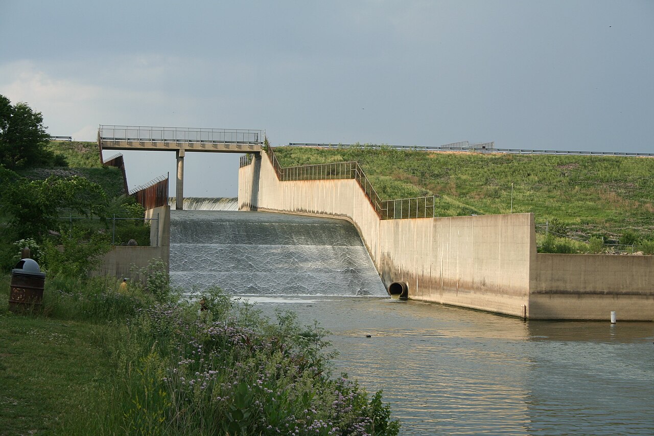
Clinton Lake
Clinton Lake is a 7,000-acre reservoir on the Wakarusa River in Kansas. The lake is in Douglas County. It is managed by USACE…
Reservoir
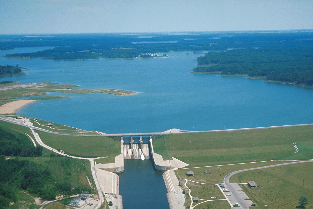
Lake Shelbyville
Lake Shelbyville is a 11,100-acre reservoir on the Kaskaskia River in Illinois. You will find it in Moultrie County. Management…
Reservoir
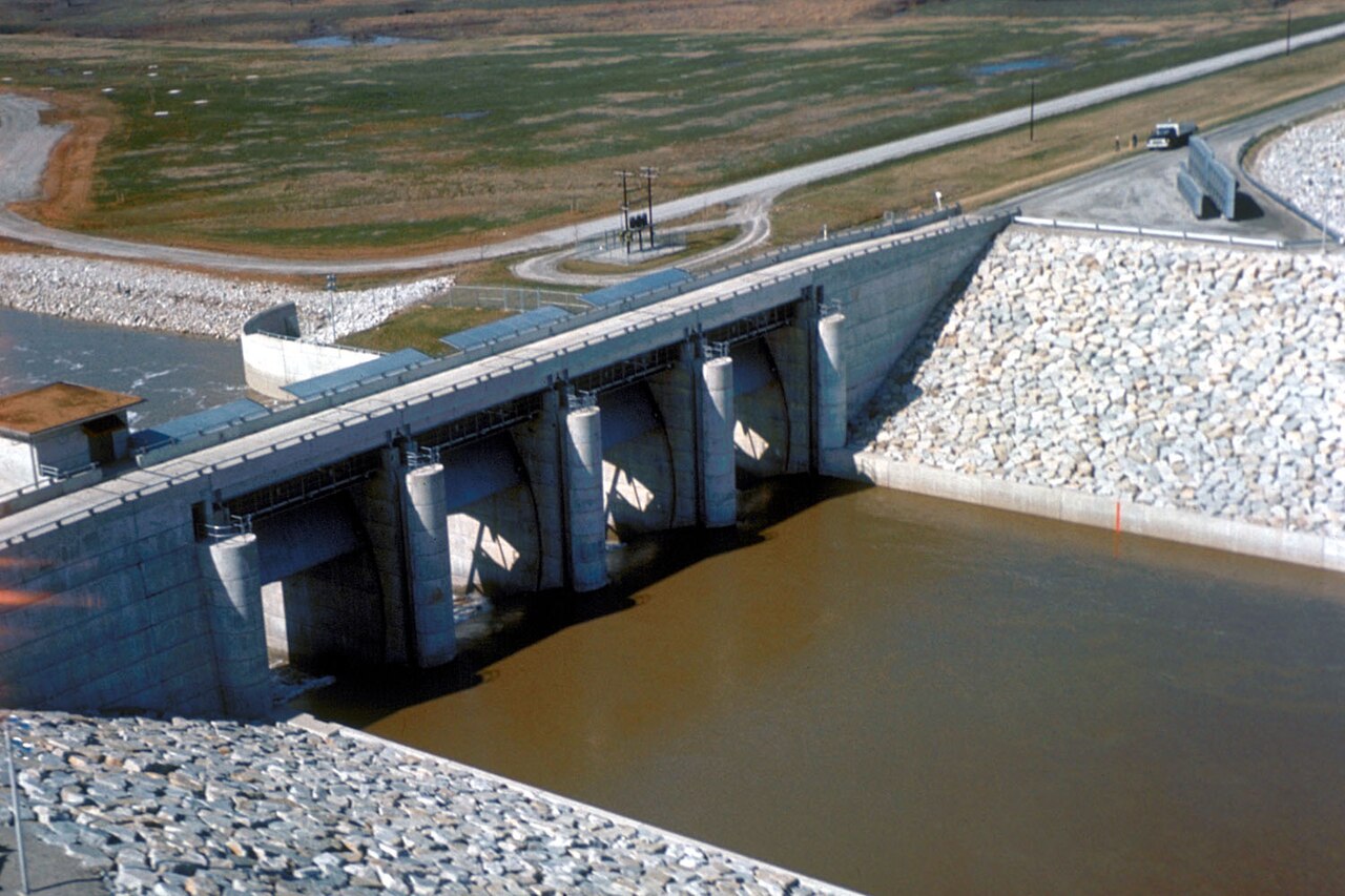
Carlyle Lake
Fed by the Kaskaskia River, Carlyle Lake holds roughly 26,000 acres of water in Illinois. Its shoreline falls inside Clinton…
Reservoir1 beach
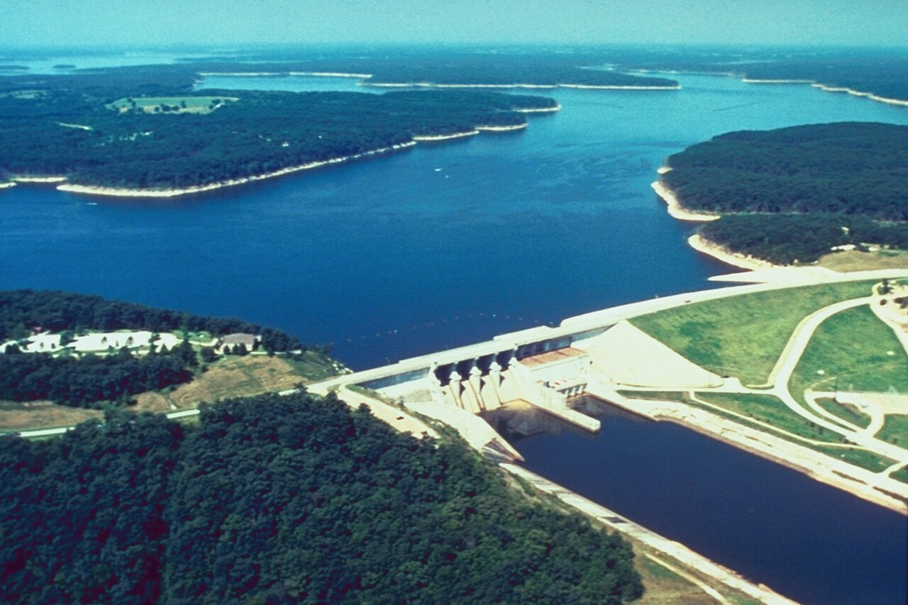
Mark Twain Lake
Mark Twain Lake covers about 18,600 acres of the Salt River in Missouri. The lake is in Monroe County. USACE St. Louis District…
Reservoir
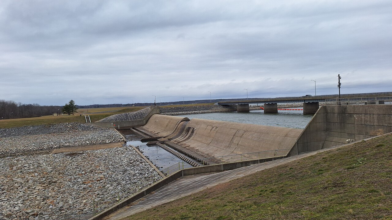
Rend Lake
Rend Lake covers about 18,900 acres of the Big Muddy River in Illinois. You will find it in Franklin County. Management is in the…
Reservoir
Explore around Illinois
Sources
Every figure on this page comes from one of these public sources.