
CountiesMoultrie County
IllinoisReservoirMoultrie County
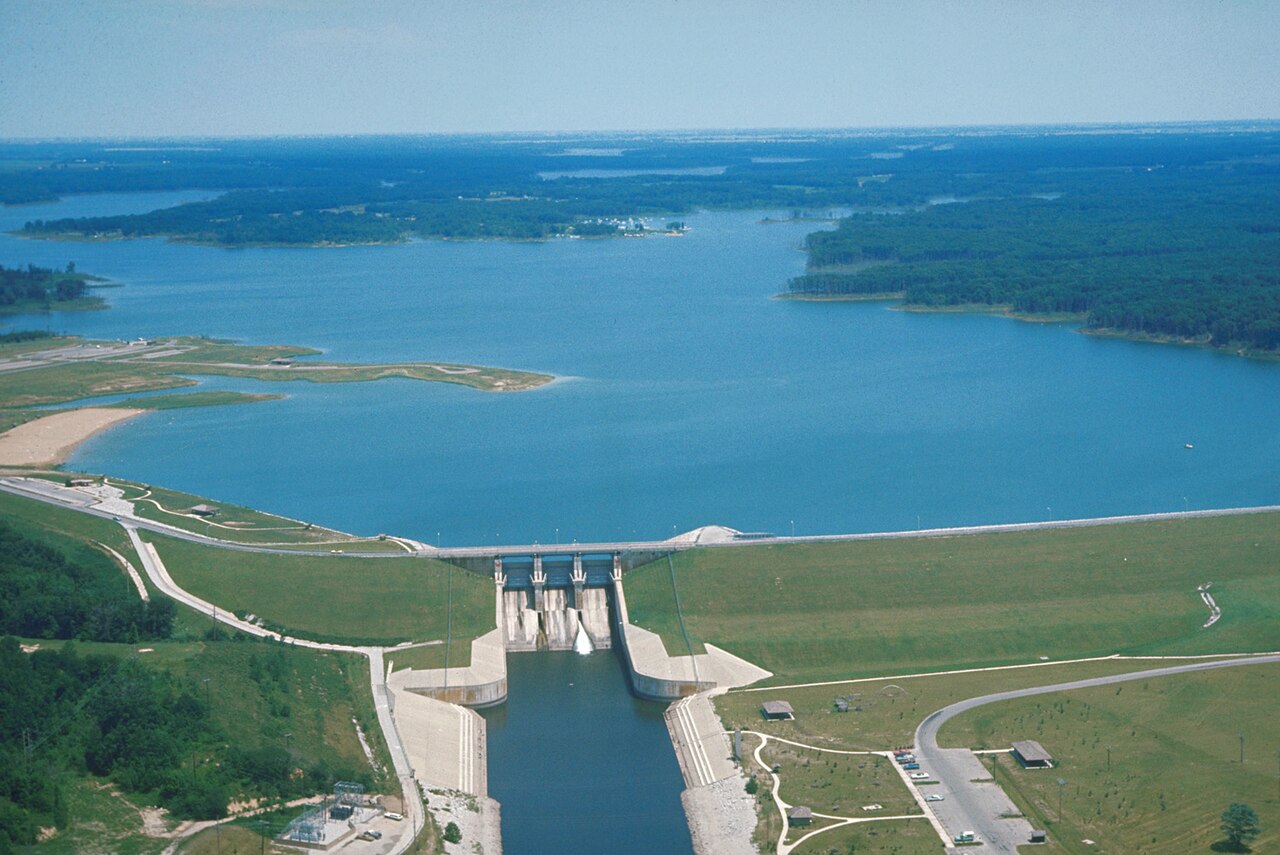
Lake Shelbyville
Lake Shelbyville is a 11,100-acre reservoir on the Kaskaskia River in Illinois. You will find it in Moultrie County. Management is in the hands of USACE St. Louis District.
Coordinates39.4717, -88.7139
Surface area11,100 acres
Max depth67 ft
RiverKaskaskia River
Managed byUSACE St. Louis District
Swimming beaches on Lake Shelbyville
No named swimming beach is mapped yet for this lake. Access is through agency day-use areas and boat ramps listed below. We add beach pages only when we can confirm a name, coordinates and an operating agency.
Lake Shelbyville on the map
Lake center, swimming spots and access points.
Weather and water temperature
Air temperature and wind from Open-Meteo. Water temperature only when the lake has a public sensor.
Weather data by Open-Meteo
Lake Shelbyville in Illinois
On the map, Lake Shelbyville is centered near 39.4717, -88.7139. It reaches roughly 67 feet at its deepest. Releases go downstream into the Kaskaskia River.
Public access at Lake Shelbyville covers 6 public recreation areas. Recreation areas nearby include Wolf Creek State Park, Lone Point and Coon Creek. None is staffed by a lifeguard unless the managing agency posts one.
Season dates vary by park; the operating agency publishes them each spring. Water quality is monitored unevenly on inland lakes, so posted notices are the most reliable guide. No public sensor reports water temperature at Lake Shelbyville, so the panel shows air temperature and wind.
The closest lakes in this guide are Lake Mattoon (Illinois, 15 mi), Lake Decatur (Illinois, 26 mi) and Lake Springfield (Illinois, 51 mi). In all, 9 lakes in Illinois are covered here.
There is no live level reading for Lake Shelbyville. The agencies that run this water do not publish one openly, and we do not estimate what has not been measured. We check the public feeds daily, so this page will fill in if one appears.
Recreation areas on Lake Shelbyville
6 public recreation areas mapped around the lake by the U.S. Army Corps of Engineers. Facilities vary by area; check the managing office for opening dates and fees.
Wolf Creek State Park Lone Point Coon Creek Eagle Creek State Park Lithia Springs Opossum Creek
Source: USACE Recreation Areas
Questions about Lake Shelbyville
Is there a beach at Lake Shelbyville?
No named swimming beach appears in the federal and state datasets this guide reads. Check the operating agency for day-use areas on the ground.
How big is Lake Shelbyville?
About 11,100 acres. Maximum depth is around 67 feet.
What other lakes are near Lake Shelbyville?
The closest in this guide is Lake Mattoon, about 15 miles away in Illinois.
Lakes near Lake Shelbyville
Other lakes in this guide, ordered by distance.
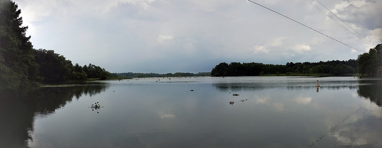
Lake Decatur
Lake Decatur is a 2,718-acre reservoir on the Sangamon River in Illinois. The lake is in Macon County. Management is in the hands…
Reservoir
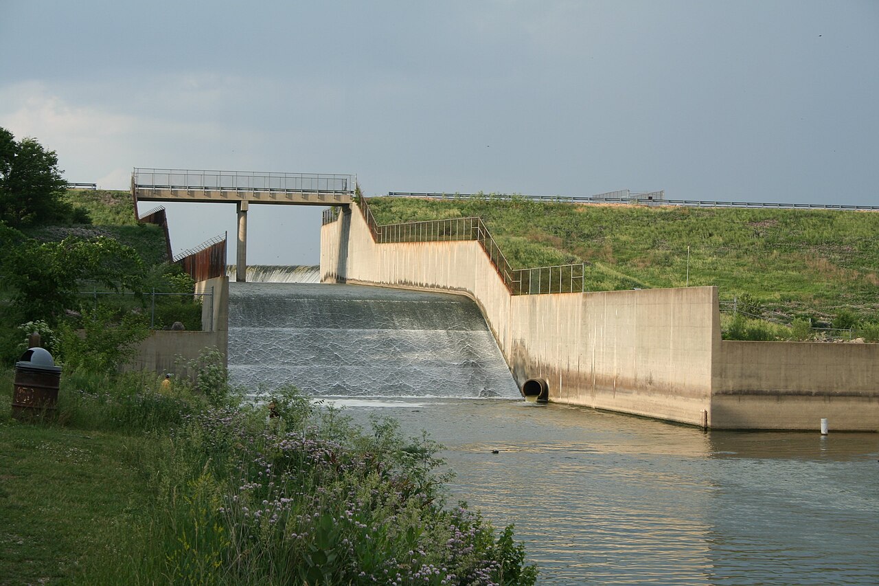
Clinton Lake
Clinton Lake is a 7,000-acre reservoir on the Wakarusa River in Kansas. The lake is in Douglas County. It is managed by USACE…
Reservoir
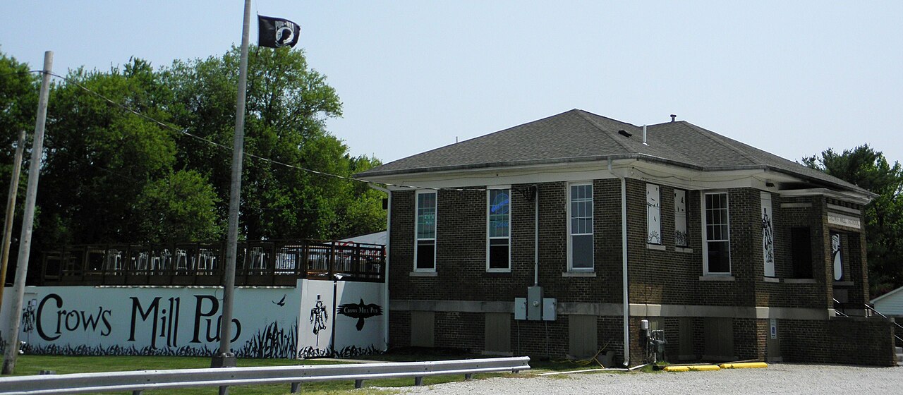
Lake Springfield
Lake Springfield covers about 3,965 acres of the Sugar Creek in Illinois. Its shoreline falls inside Sangamon County. Management…
Reservoir
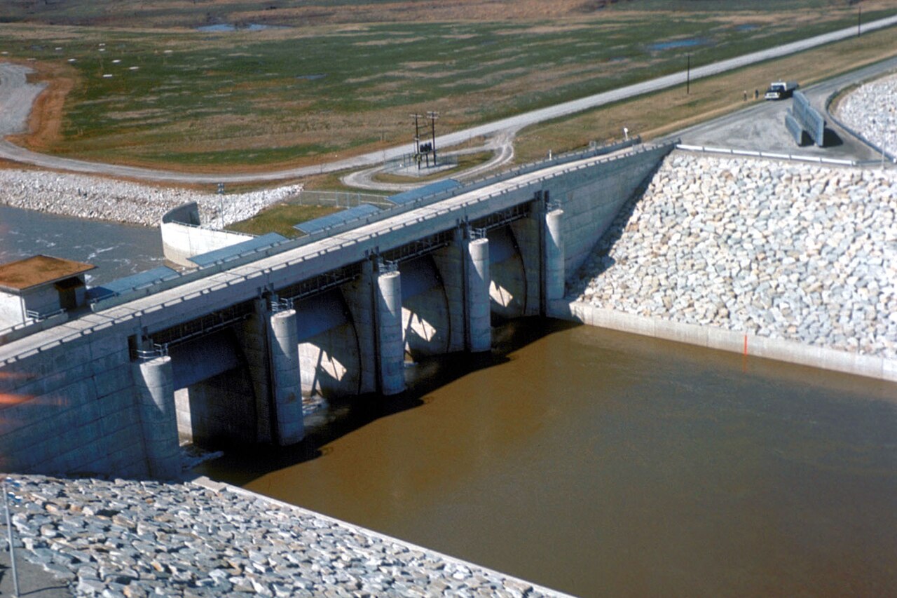
Carlyle Lake
Fed by the Kaskaskia River, Carlyle Lake holds roughly 26,000 acres of water in Illinois. Its shoreline falls inside Clinton…
Reservoir1 beach
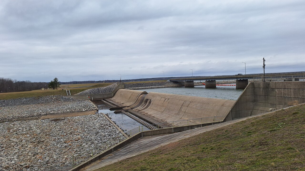
Rend Lake
Rend Lake covers about 18,900 acres of the Big Muddy River in Illinois. You will find it in Franklin County. Management is in the…
Reservoir
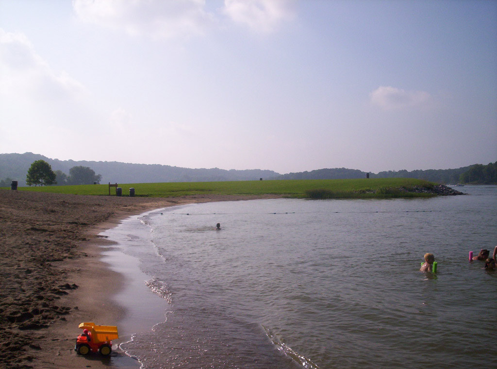
Lake Lemon
Lake Lemon is a 1,650-acre reservoir on the Bean Blossom Creek in Indiana. The lake is in Monroe County. Lake Lemon Conservancy…
Reservoir
Explore around Illinois
Sources
Every figure on this page comes from one of these public sources.