
CountiesGlades, Okeechobee, Martin, Palm Beach and Hendry counties
FloridaNatural lakeGlades County
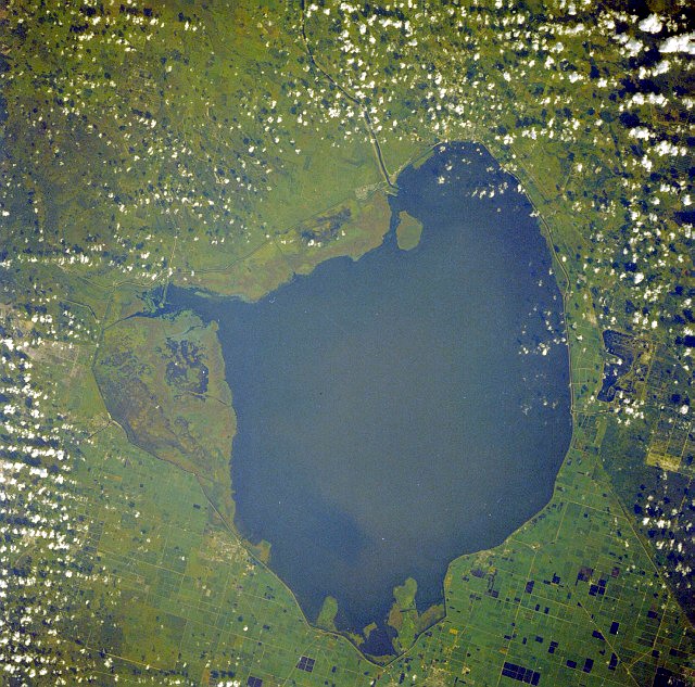
Lake Okeechobee
Lake Okeechobee is the largest freshwater lake in Florida and the eighth largest natural freshwater lake in the United States. Its name comes from the Hitchiti words oki, water, and chubi, big. The lake is very shallow for its size, ringed by the Herbert Hoover Dike, and access is through public ramps and rim canal parks rather than sand beaches.
Water level today: 11.05 ft · see the full record
Nearest townOkeechobee, FL
Coordinates26.9500, -80.8000
Surface area448,000 acres
Max depth10 ft
RiverCaloosahatchee River
Managed byU.S. Army Corps of Engineers, Jacksonville District
Swimming beaches on Lake Okeechobee
1 named swimming spot and shoreline access points, from USGS GNIS, Recreation.gov and the Forest Service. None is staffed by a lifeguard unless the operating agency posts one.
Lake Okeechobee on the map
Lake center, swimming spots and access points.
Weather and water temperature
Air temperature and wind from Open-Meteo. Water temperature only when the lake has a public sensor.
Weather data by Open-Meteo
Water level today
The Army Corps of Engineers Jacksonville District publishes a daily average stage for Lake Okeechobee together with total inflows and outflows. There is no percent-full figure because the lake is operated against a seasonal regulation schedule, not against a fixed conservation pool. The most useful comparison is the long-term average for the same calendar day, which the Corps reports alongside the current stage.
11.05 ft trend not available
Lake Okeechobee: access, stage and safety
The lake drains east and west through the St. Lucie and Caloosahatchee rivers, and the Army Corps of Engineers manages its stage against a regulation schedule rather than a fixed full pool. That is why the daily report gives a stage in feet and compares it with the long-term average for the same date.
Swimming here is not what it is at a reservoir with a sand beach. The shoreline is marsh, levee and rim canal, water clarity is low, and alligators are present throughout. Most people enter the water from boats or at developed park areas rather than wading in from shore.
Stage on September 9, 2026 was 11.05 feet, up slightly from 11.03 feet the day before and 10.98 feet a week earlier. The 1965 to 2007 average for the same date is 14.42 feet, so the lake is running about 3.4 feet below its historical norm for early September.
Blue-green algae blooms are a recurring summer issue on the lake and are tracked by state agencies. Check the current advisory before any water contact, and follow posted signs at ramps and parks.
Recreation areas on Lake Okeechobee
20 public recreation areas mapped around the lake by the U.S. Army Corps of Engineers. Facilities vary by area; check the managing office for opening dates and fees.
Port Mayaca N. Port Mayaca S. Canal Point Pahokee City Park Chancy Bay Buckhead Ridge Indian Prairie Okeetantie Clewiston Park Liberty Point Rardin Park Henry Creek Bare Beach Harney Pond Nubbin Slough Okeechobee John Stretch Park Belle Glade
Source: USACE Recreation Areas
Questions about Lake Okeechobee
Is Lake Okeechobee high or low right now?
Low for the date. The 1965 to 2007 average for September 9 is 14.42 feet, so the lake is about 3.4 feet below its historical norm.
Can you swim in Lake Okeechobee?
Swimming is possible but uncommon. The shoreline is marsh and levee rather than beach, visibility is low, and alligators are present. Check state advisories for algae before any water contact.
How big is Lake Okeechobee?
About 1,890 square kilometres, which makes it the largest freshwater lake in Florida and the eighth largest natural freshwater lake in the United States.
Lakes near Lake Okeechobee
Other lakes in this guide, ordered by distance.
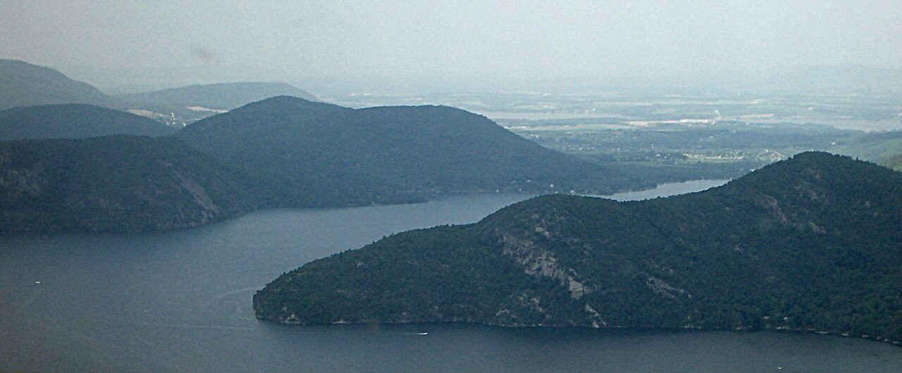
Lake George
Lake George covers about 28,170 acres of the La Chute in New York. You will find it in Warren County. Lake George Park Commission…
Natural lake
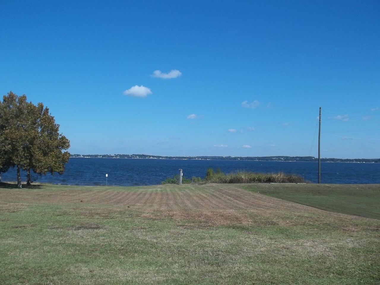
Lake Minneola
Lake Minneola covers about 1,907 acres in Florida. You will find it in Lake County. It is managed by St. Johns River Water…
Natural lake
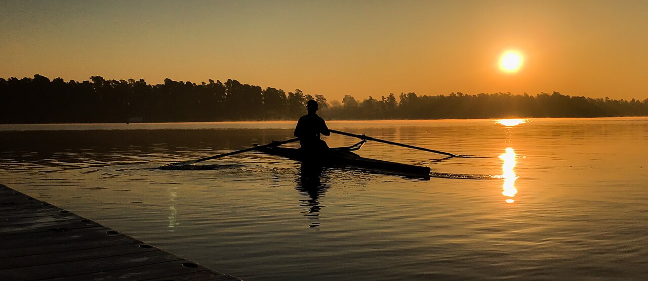
Lake Marion
Lake Marion is a 111,197-acre reservoir on the outflow = in South Carolina. The lake is in Clarendon County. Santee Cooper /…
Natural lake
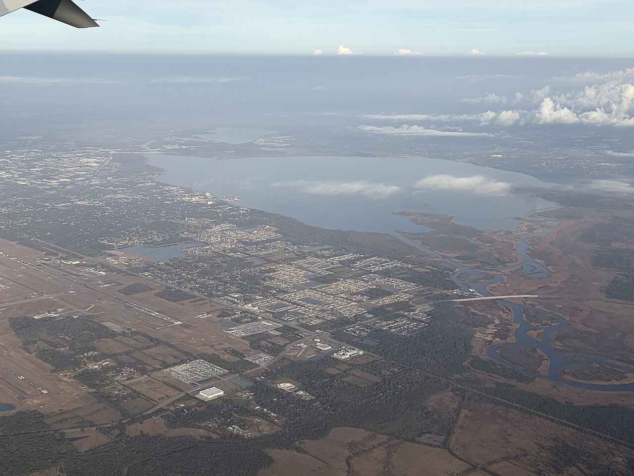
Lake Monroe
Lake Monroe is a reservoir of some 10,750 acres on the Salt Creek, in Indiana. The lake is in Monroe County. USACE Louisville…
Natural lake
Orange Lake
Orange Lake covers about 12,550 acres in Florida. Its shoreline falls inside Sumter County. Management is in the hands of Florida…
Natural lake
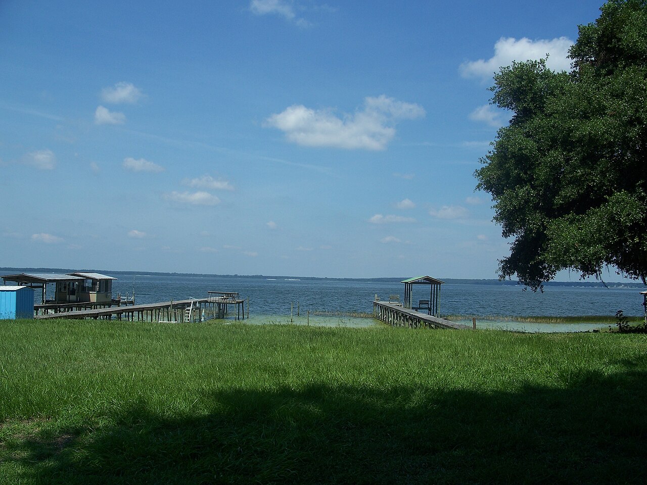
Lake Weir
Lake Weir is a lake of some 5,685 acres on the catchment =, in Florida. It lies in Marion County. It is managed by FL FWC /…
Natural lake2 beaches
Explore around Florida
Sources
Every figure on this page comes from one of these public sources.