
CountiesVolusia County
FloridaNatural lakeVolusia County
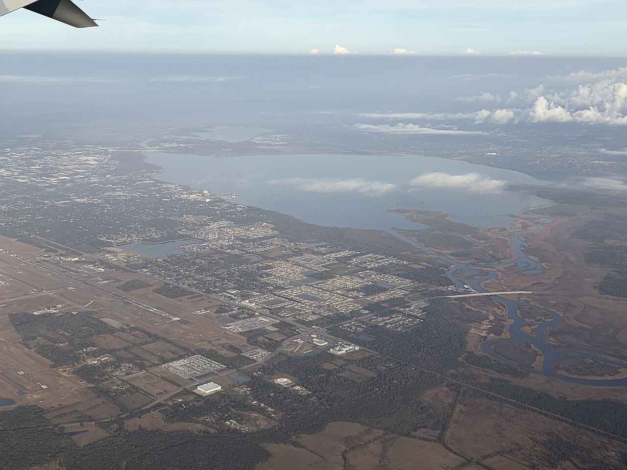
Lake Monroe
Lake Monroe is a reservoir of some 10,750 acres on the Salt Creek, in Indiana. The lake is in Monroe County. USACE Louisville District manages it. The latest reading is 538.37 ft, 0.4 ft above the 538.0 ft full pool.
Coordinates28.8194, -81.2611
Surface area8,771 acres
Full pool538.0 ft
RiverSt. Johns River
Managed bySt. Johns River Water Management District
Swimming beaches on Lake Monroe
No named swimming beach is mapped yet for this lake. Access is through agency day-use areas and boat ramps listed below. We add beach pages only when we can confirm a name, coordinates and an operating agency.
Lake Monroe on the map
Lake center, swimming spots and access points.
Weather and water temperature
Air temperature and wind from Open-Meteo. Water temperature only when the lake has a public sensor.
Weather data by Open-Meteo
Lake Monroe: beaches, ramps and water level
The center of the lake is at 39.0587, -86.4464. Maximum depth is around 59 feet. Releases go downstream into the Salt Creek. The surface sits around 538 feet above sea level.
The closest lakes in this guide are Lake Lemon (Indiana, 14 mi), Patoka Lake (Indiana, 45 mi) and Eagle Creek Reservoir (Indiana, 55 mi). Indiana has 19 lakes on this site in total.
Public access at Lake Monroe covers 7 public recreation areas and 1 boat ramp. Recreation areas nearby include Moores Creek, Cutright and Allens Creek. Launch points include Salt Creek Ramp.. Parking is the usual limit on busy summer weekends.
Station 03372400, MONROE LAKE NEAR HARRODSBURG, IN, publishes the water surface elevation used here. The Corps of Engineers puts the top of the flood pool at 556.0 ft. The conservation pool tops out at 538.0 ft. The last value stored here, 538.37 ft, is from 2026-09-09. The top of the dam sits at 574.0 ft. Beach width and ramp access both move with the pool, so the number above is worth a look first.
Season dates vary by park; the operating agency publishes them each spring. There is no water temperature sensor here, so only air conditions are shown. Check the operating agency for advisories before any water contact, especially for blue-green algae in late summer.
Questions about Lake Monroe
What is the current water level at Lake Monroe?
The latest reading is 538.37 ft, 0.4 ft above the 538.0 ft full pool, from USGS gauge 03372400.
What is full pool at Lake Monroe?
Full pool is 538.0 ft. Water above that level is flood storage and is released as conditions allow.
Is there a beach at Lake Monroe?
No named swimming beach appears in the federal and state datasets this guide reads. Check the operating agency for day-use areas on the ground.
How big is Lake Monroe?
About 10,750 acres. Maximum depth is around 59 feet.
What other lakes are near Lake Monroe?
The closest in this guide is Lake Lemon, about 14 miles away in Indiana.
Lakes near Lake Monroe
Other lakes in this guide, ordered by distance.
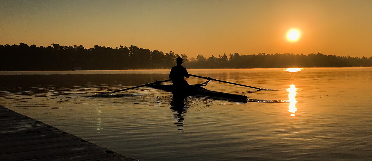
Lake Marion
Lake Marion is a 111,197-acre reservoir on the outflow = in South Carolina. The lake is in Clarendon County. Santee Cooper /…
Natural lake
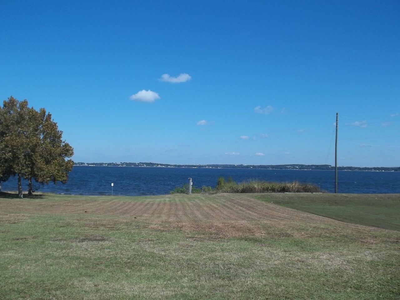
Lake Minneola
Lake Minneola covers about 1,907 acres in Florida. You will find it in Lake County. It is managed by St. Johns River Water…
Natural lake
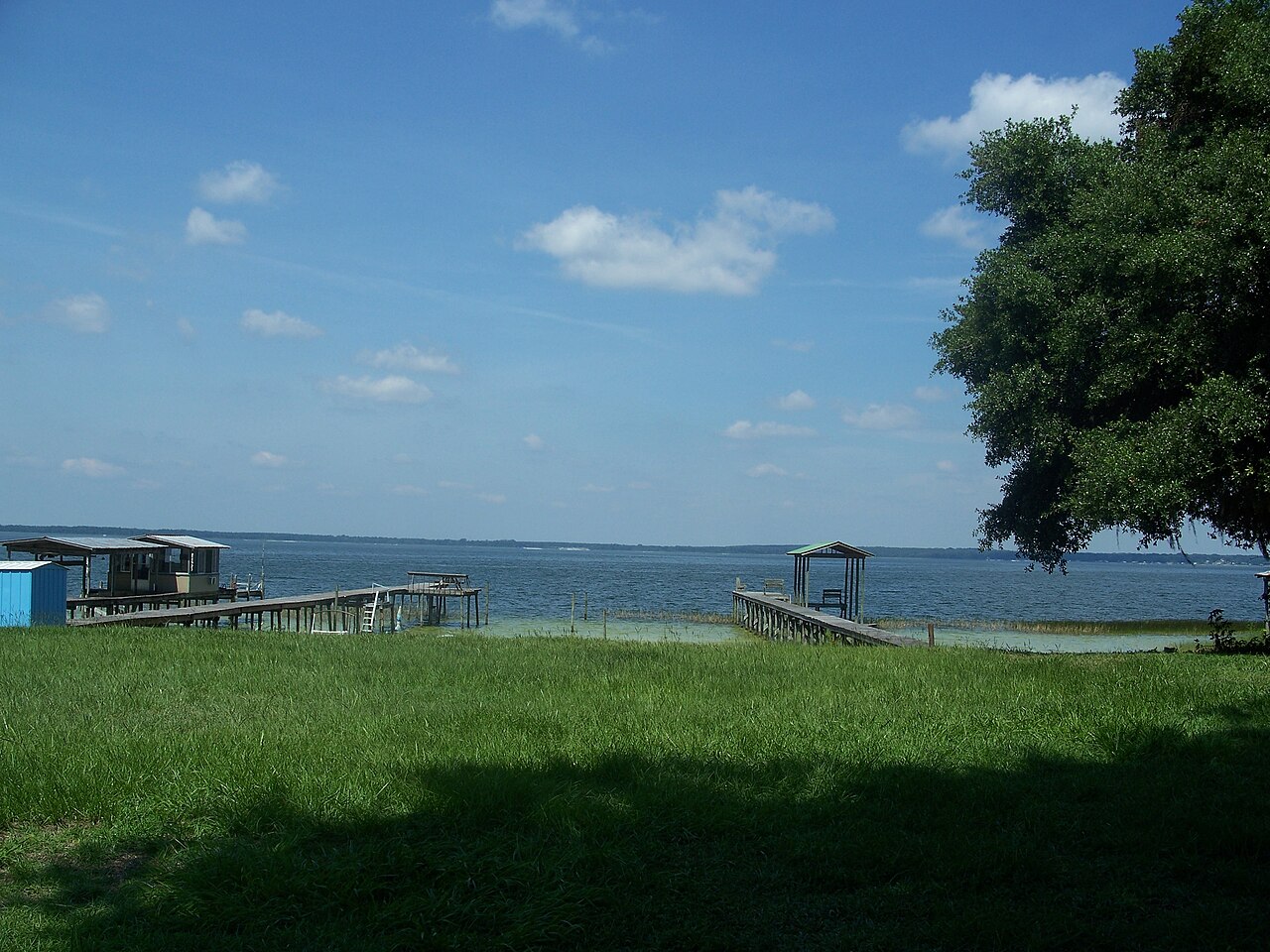
Lake Weir
Lake Weir is a lake of some 5,685 acres on the catchment =, in Florida. It lies in Marion County. It is managed by FL FWC /…
Natural lake2 beaches
Orange Lake
Orange Lake covers about 12,550 acres in Florida. Its shoreline falls inside Sumter County. Management is in the hands of Florida…
Natural lake
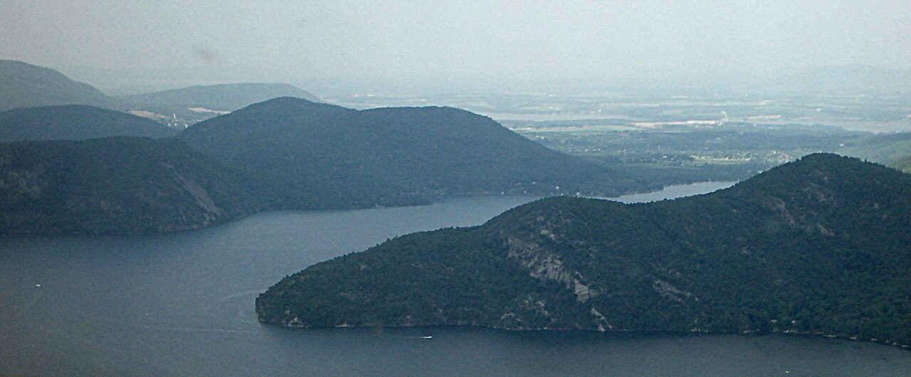
Lake George
Lake George covers about 28,170 acres of the La Chute in New York. You will find it in Warren County. Lake George Park Commission…
Natural lake
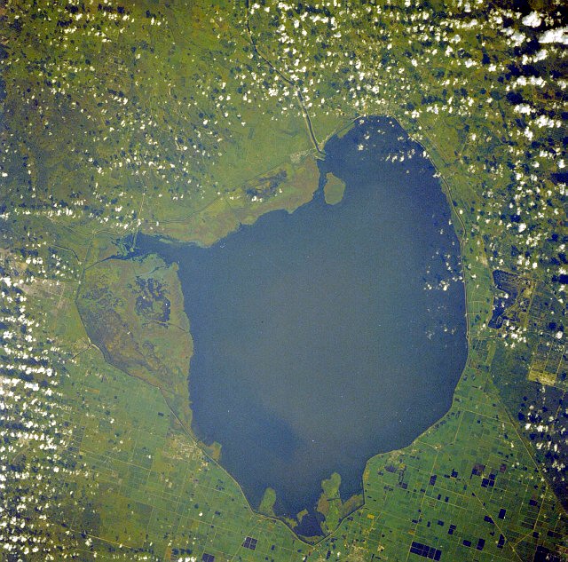
Lake Okeechobee
Lake Okeechobee is the largest freshwater lake in Florida and the eighth largest natural freshwater lake in the United States.…
Natural lake1 beach
Explore around Florida
Sources
Every figure on this page comes from one of these public sources.