
CountiesWaukesha County
WisconsinReservoirWaukesha County
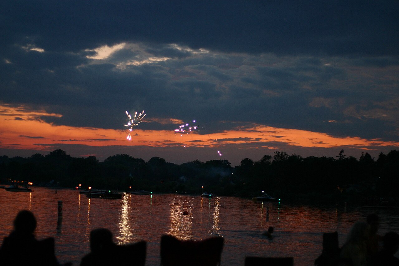
Pewaukee Lake
Pewaukee Lake is a reservoir of some 2,437 acres on the Pewaukee River, in Wisconsin. You will find it in Waukesha County. It is managed by LPSD / Village of Pewaukee / WI DNR.
Coordinates43.0847, -88.2642
Surface area2,437 acres
Max depth46 ft
RiverPewaukee River
Managed byLPSD / Village of Pewaukee / WI DNR
Swimming beaches on Pewaukee Lake
No named swimming beach is mapped yet for this lake. Access is through agency day-use areas and boat ramps listed below. We add beach pages only when we can confirm a name, coordinates and an operating agency.
Pewaukee Lake on the map
Lake center, swimming spots and access points.
Weather and water temperature
Air temperature and wind from Open-Meteo. Water temperature only when the lake has a public sensor.
Weather data by Open-Meteo
Pewaukee Lake at a glance
Its coordinates are 43.0847, -88.2642. Releases go downstream into the Pewaukee River. It reaches roughly 46 feet at its deepest.
The closest lakes in this guide are Nagawicka Lake (Wisconsin, 6 mi), North Lake (Wisconsin, 7 mi) and Okauchee Lake (Wisconsin, 10 mi). In all, 34 lakes in Wisconsin are covered here.
Swimming season in Wisconsin runs through the warm months, and day-use areas set their own opening dates. Algae blooms are seasonal and local: look for posted signs at the ramp or park entrance. Water temperature is not measured at this lake by any public agency we read.
County parks and private resorts sometimes provide access that federal datasets never record. Bender Beach, on Lac La Belle, is the closest named beach in this guide, about 12 miles off. Public datasets record no beach at Pewaukee Lake, so treat any shoreline access as unmarked and unsupervised.
Pewaukee Lake has no public water level gauge that we can read, so there is no level chart here. An invented number would be worse than none. Ask the managing agency directly if the level matters for your trip.
Questions about Pewaukee Lake
Is there a beach at Pewaukee Lake?
No named swimming beach appears in the federal and state datasets this guide reads. Check the operating agency for day-use areas on the ground.
How big is Pewaukee Lake?
About 2,437 acres. Maximum depth is around 46 feet.
What other lakes are near Pewaukee Lake?
The closest in this guide is Nagawicka Lake, about 6 miles away in Wisconsin.
Lakes near Pewaukee Lake
Other lakes in this guide, ordered by distance.
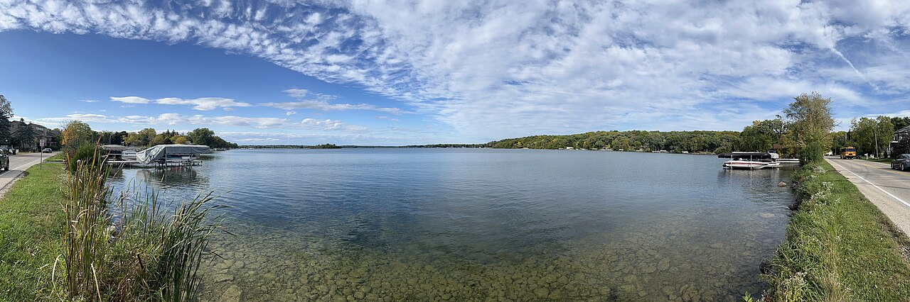
Nagawicka Lake
Nagawicka Lake covers about 981 acres in Wisconsin. The lake is in Waukesha County. Management is in the hands of Waukesha County…
Natural lake
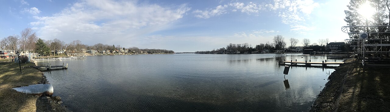
Okauchee Lake
Okauchee Lake is a reservoir of some 1,210 acres on the Oconomowoc River, in Wisconsin. It lies in Waukesha County. It is managed…
Reservoir
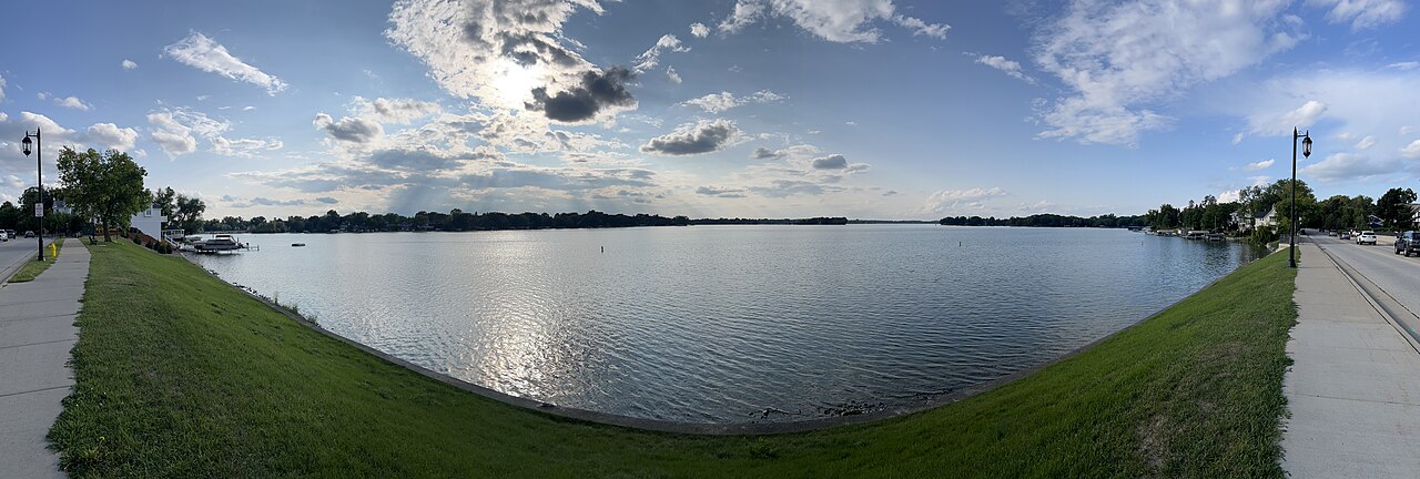
Lac La Belle
Fed by the Oconomowoc River, Lac La Belle holds roughly 1,154 acres of water in Wisconsin. You will find it in Waukesha County.…
Natural lake2 beaches
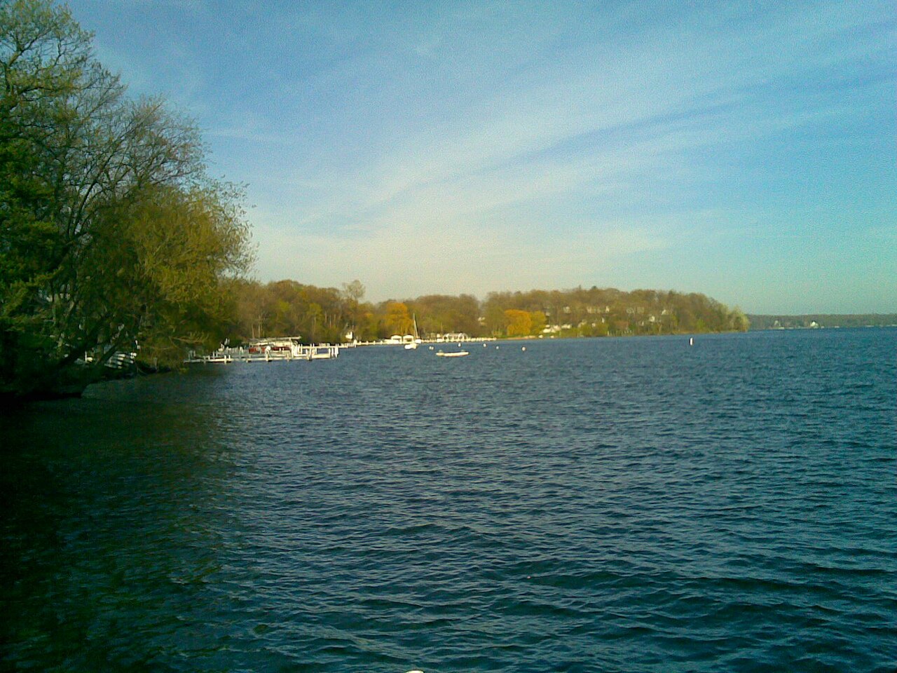
Lake Geneva
Fed by the White River, Lake Geneva holds roughly 5,189 acres of water in Wisconsin. It lies in Walworth County. WI DNR / local…
Natural lake
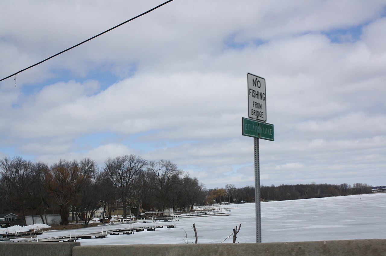
Delavan Lake
At roughly 1,906 acres, Delavan Lake is one of the lakes covered in Wisconsin. Its shoreline falls inside Walworth County. WI DNR…
Natural lake
Lake Koshkonong
Lake Koshkonong covers about 10,460 acres of the Rock River in Wisconsin. The lake is in Jefferson County. Rock-Koshkonong Lake…
Reservoir
Explore around Wisconsin
All lakes in Wisconsin Swimming spots in Wisconsin Lakes near Pewaukee Lakes near Sussex
Sources
Every figure on this page comes from one of these public sources.