
CountiesWashington County
VermontReservoirWashington County
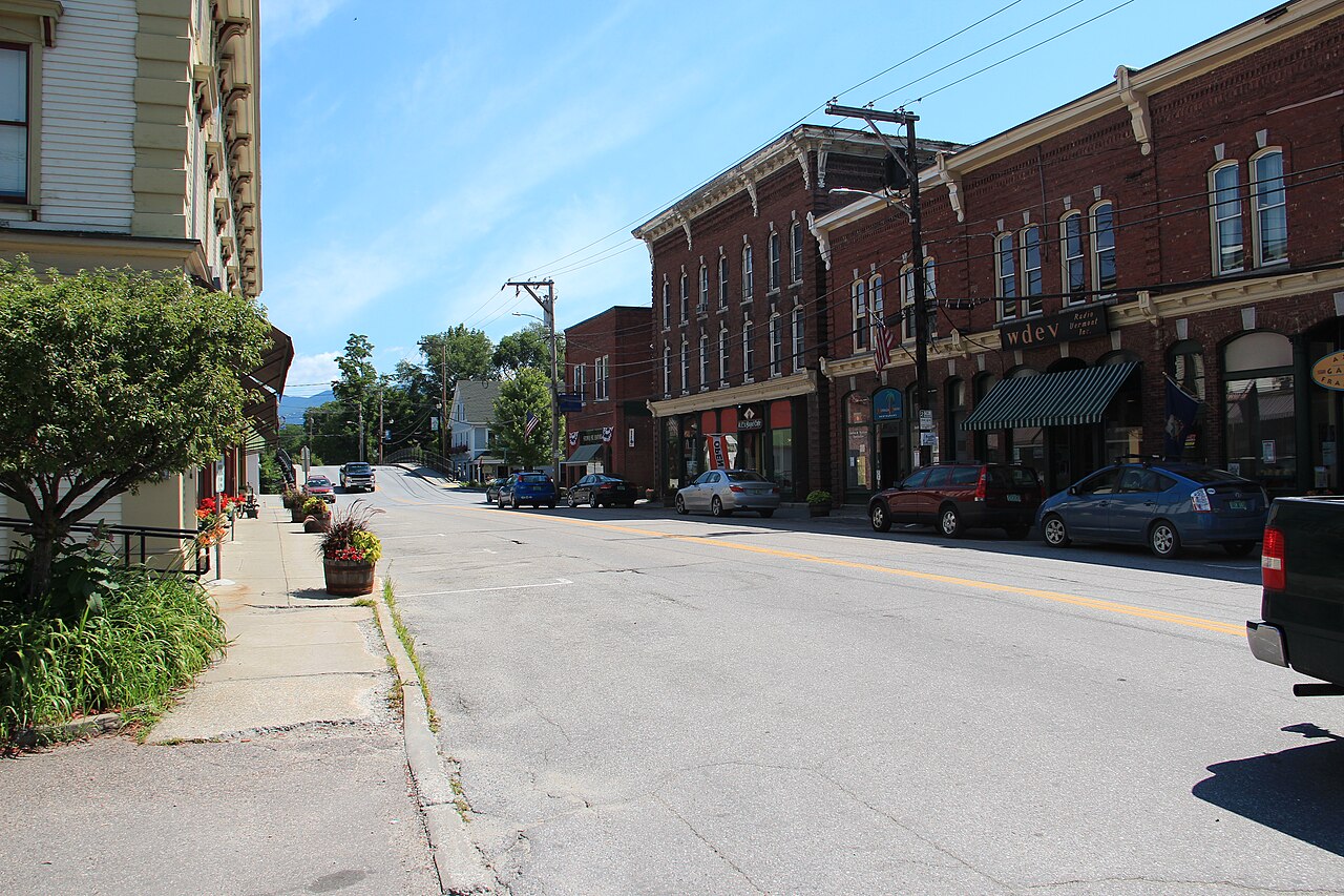
Waterbury Reservoir
Waterbury Reservoir is a 850-acre reservoir in Vermont. You will find it in Washington County. Management is in the hands of VT Forests, Parks & Recreation. The gauge last read 589.56 ft.
Water level today: 589.56 ft · see the full record
Coordinates44.3851, -72.7460
Surface area850 acres
Managed byVT Forests, Parks & Recreation
Swimming beaches on Waterbury Reservoir
No named swimming beach is mapped yet for this lake. Access is through agency day-use areas and boat ramps listed below. We add beach pages only when we can confirm a name, coordinates and an operating agency.
Waterbury Reservoir on the map
Lake center, swimming spots and access points.
Weather and water temperature
Air temperature and wind from Open-Meteo. Water temperature only when the lake has a public sensor.
Weather data by Open-Meteo
Water level today
Station 04288500, WATERBURY RESERVOIR NEAR WATERBURY, VT, publishes the water surface elevation used here. The last value stored here, 589.56 ft, is from 2026-09-09. When the pool drops, shoreline beaches grow and shallow ramps can run out of concrete.
589.56 ft trend not available
Planning a day at Waterbury Reservoir
The center of the lake is at 44.3851, -72.7460. It lies at roughly 614 feet of elevation.
Most Vermont day-use areas open for the summer season and close outside it. Water quality is monitored unevenly on inland lakes, so posted notices are the most reliable guide. Water temperature is not measured at this lake by any public agency we read.
Station 04288500, WATERBURY RESERVOIR NEAR WATERBURY, VT, publishes the water surface elevation used here. The last value stored here, 589.56 ft, is from 2026-09-09. When the pool drops, shoreline beaches grow and shallow ramps can run out of concrete.
There is no beach on record at Waterbury Reservoir in the datasets this guide reads. Where there is no marked beach, entry is usually from a boat ramp or an unimproved bank.
The closest lakes in this guide are Lake Champlain (Vermont, 30 mi), Lake Dunmore (Vermont, 37 mi) and Lake Memphremagog (Vermont, 52 mi). Vermont has 9 lakes on this site in total.
Questions about Waterbury Reservoir
Is there a beach at Waterbury Reservoir?
No named swimming beach appears in the federal and state datasets this guide reads. Check the operating agency for day-use areas on the ground.
How big is Waterbury Reservoir?
About 850 acres.
What other lakes are near Waterbury Reservoir?
The closest in this guide is Lake Champlain, about 30 miles away in Vermont.
Lakes near Waterbury Reservoir
Other lakes in this guide, ordered by distance.
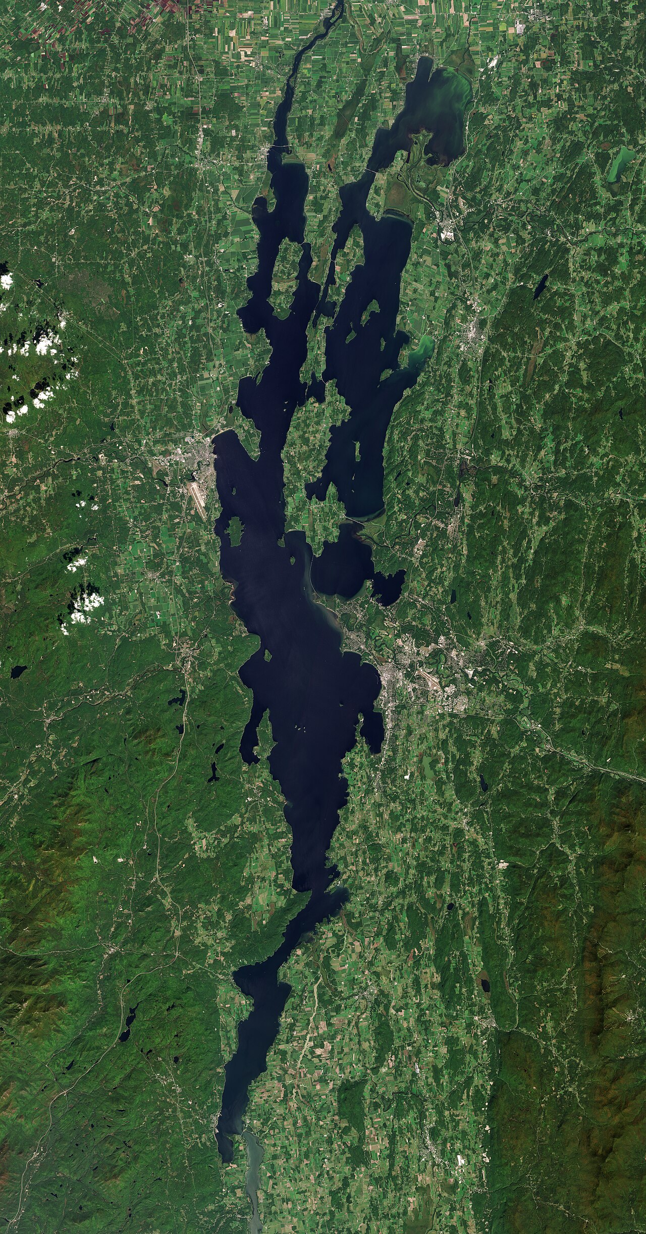
Lake Champlain
Lake Champlain is a 313,577-acre lake on the Richelieu River in Vermont. Its shoreline falls inside Grand Isle County. It is…
Natural lake
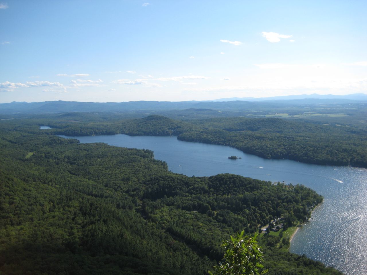
Lake Dunmore
Lake Dunmore is a lake of some 985 acres on the Leicester River, in Vermont. It lies in Addison County. It is managed by Vermont…
Natural lake
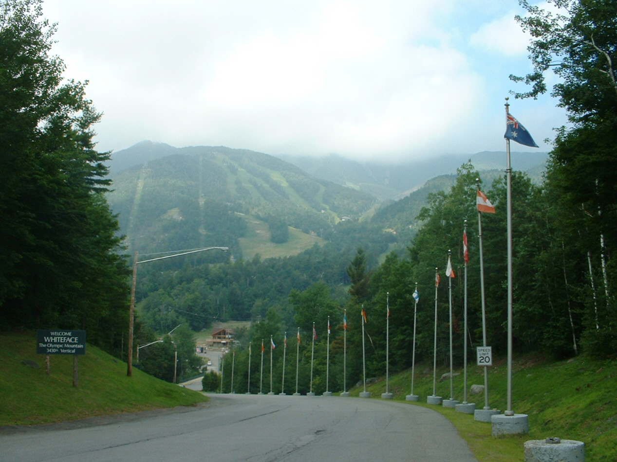
Lake Placid
Lake Placid is a 984-acre lake in New York. The lake is in Essex County. Management is in the hands of NYSDEC / Essex County.
Natural lake
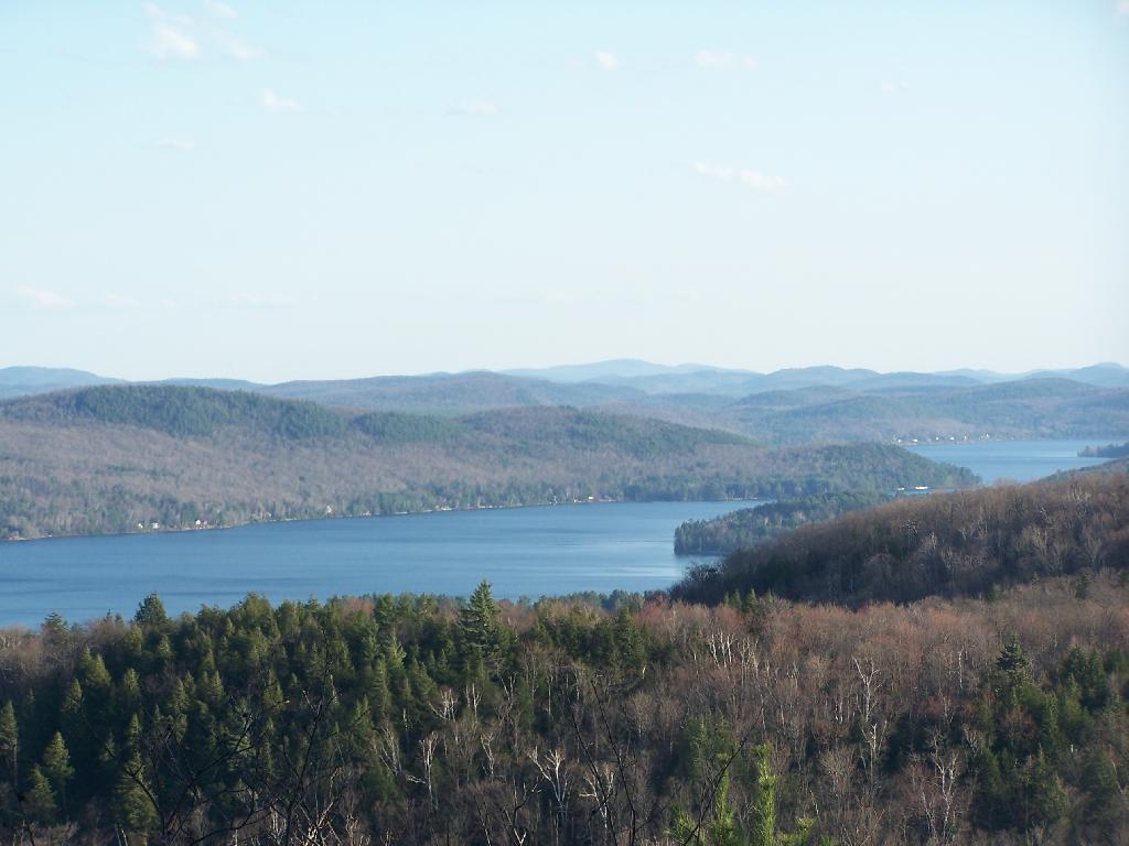
Schroon Lake
Schroon Lake covers about 4,257 acres of the Schroon River in New York. Its shoreline falls inside Warren County. New York State…
Natural lake
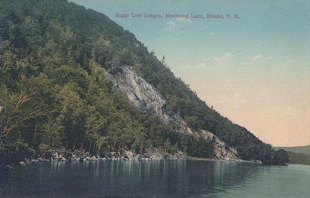
Newfound Lake
Newfound Lake is a lake of some 4,102 acres on the Newfound River, in New Hampshire. Its shoreline falls inside Grafton County.…
Natural lake
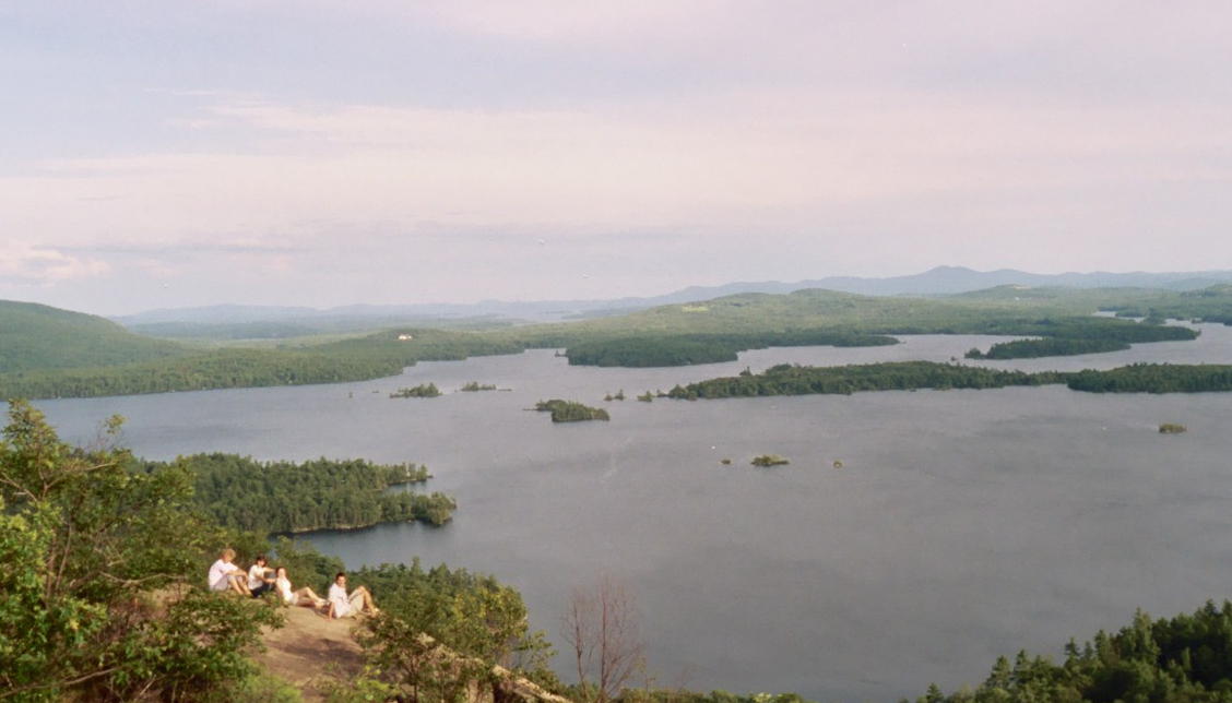
Squam Lake
Fed by the Squam River, Squam Lake holds roughly 6,790 acres of water in New Hampshire. The lake is in Belknap County. Management…
Natural lake2 beaches
Explore around Vermont
Sources
Every figure on this page comes from one of these public sources.