
CountiesCharlevoix County
MichiganNatural lakeCharlevoix County
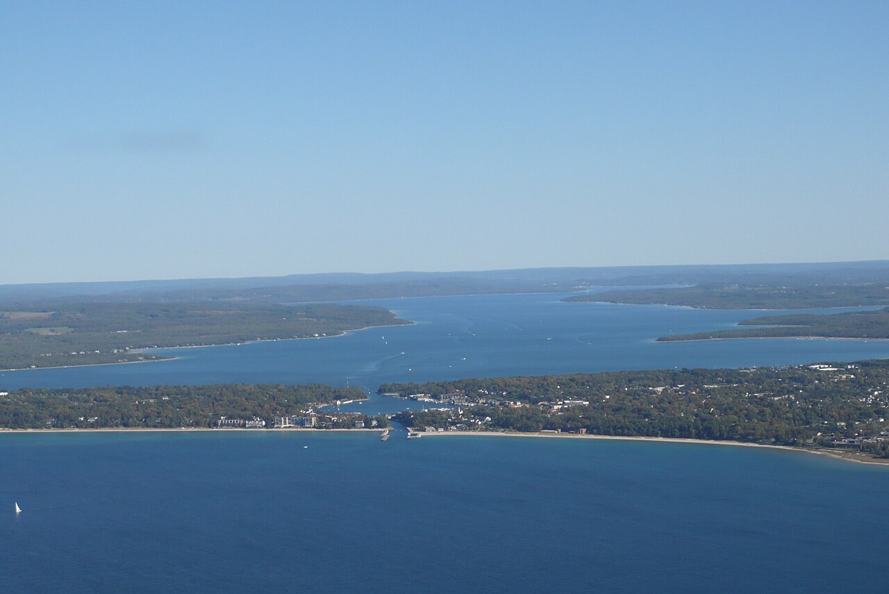
Lake Charlevoix
Fed by the Pine River, Lake Charlevoix holds roughly 17,268 acres of water in Michigan. The lake is in Charlevoix County. It is managed by MI EGLE / MI DNR / Charlevoix County.
Coordinates45.2482, -85.0758
Surface area17,268 acres
Max depth122 ft
RiverPine River
Managed byMI EGLE / MI DNR / Charlevoix County
Swimming beaches on Lake Charlevoix
No named swimming beach is mapped yet for this lake. Access is through agency day-use areas and boat ramps listed below. We add beach pages only when we can confirm a name, coordinates and an operating agency.
Lake Charlevoix on the map
Lake center, swimming spots and access points.
Weather and water temperature
Air temperature and wind from Open-Meteo. Water temperature only when the lake has a public sensor.
Weather data by Open-Meteo
Lake Charlevoix: access and conditions
On the map, Lake Charlevoix is centered near 45.2482, -85.0758. The deepest point on record is about 122 feet. The surface sits around 581 feet above sea level.
Ask the managing agency directly if the level matters for your trip. Nobody publishes a continuous level for Lake Charlevoix in a form this guide can read, so the page carries access and weather instead.
Season dates vary by park; the operating agency publishes them each spring. Water temperature is not measured at this lake by any public agency we read. Check the operating agency for advisories before any water contact, especially for blue-green algae in late summer.
The closest lakes in this guide are Walloon Lake (Michigan, 4 mi), Torch Lake (Michigan, 22 mi) and Burt Lake (Michigan, 25 mi). In all, 42 lakes in Michigan are covered here.
Absence from these datasets does not mean the water is closed, only that no agency lists a beach. Devoe Beach, on Burt Lake, is the closest named beach in this guide, about 25 miles off. Lake Charlevoix has no catalogued swimming beach in the sources we read, so plan around the managing agency's own facilities.
Questions about Lake Charlevoix
Is there a beach at Lake Charlevoix?
No named swimming beach appears in the federal and state datasets this guide reads. Check the operating agency for day-use areas on the ground.
How big is Lake Charlevoix?
About 17,268 acres. Maximum depth is around 122 feet.
What other lakes are near Lake Charlevoix?
The closest in this guide is Walloon Lake, about 4 miles away in Michigan.
Lakes near Lake Charlevoix
Other lakes in this guide, ordered by distance.
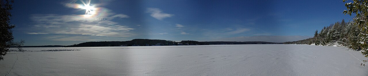
Walloon Lake
Fed by the Bear River, Walloon Lake holds roughly 4,270 acres of water in Michigan. It lies in Charlevoix County. Management is…
Natural lake
Torch Lake
Torch Lake is a 18,770-acre lake on the Torch River in Michigan. Its shoreline falls inside Antrim County. Michigan Department of…
Natural lake1 beach
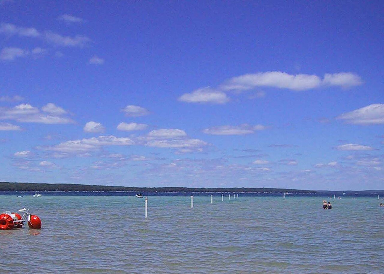
Higgins Lake
Higgins Lake is a lake of some 9,600 acres on the The Cut, in Michigan. It lies in Roscommon County. MI EGLE / MI DNR / Roscommon…
Natural lake
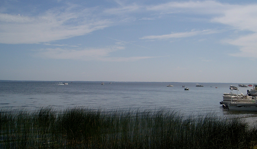
Houghton Lake
Fed by the Muskegon River, Houghton Lake holds roughly 20,044 acres of water in Michigan. It lies in Roscommon County. Management…
Natural lake
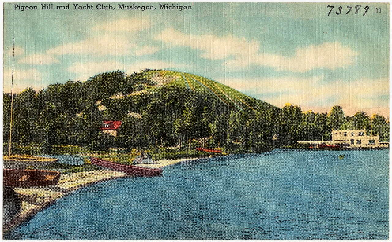
Muskegon Lake
Muskegon Lake is a 4,151-acre lake on the catchment = in Michigan. The lake is in Muskegon County. MI DNR / EGLE / City of…
Natural lake
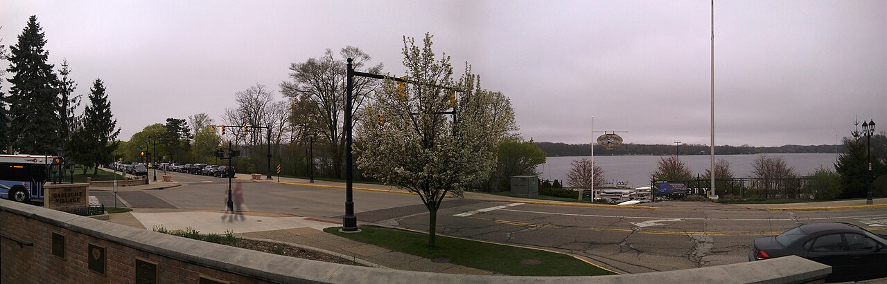
Reeds Lake
Reeds Lake is a lake of some 265 acres on the outflow = Dredged channel to Fisk Lake, in Michigan. Its shoreline falls inside…
Natural lake
Explore around Michigan
Sources
Every figure on this page comes from one of these public sources.