
CountiesCumberland County
MaineReservoirCumberland County
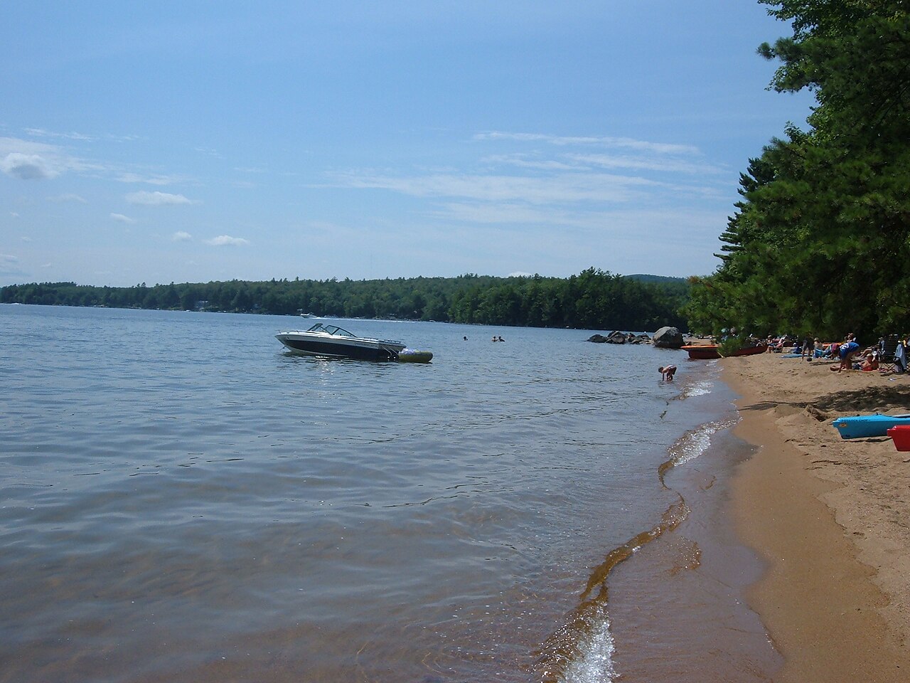
Sebago Lake
Sebago Lake is a reservoir of some 28,911 acres on the Presumpscot River, in Maine. You will find it in Cumberland County. Management is in the hands of Maine Bureau of Parks and Lands. The gauge last read 263.44 ft.
Water level today: 263.44 ft · see the full record
Coordinates43.8500, -70.5667
Surface area28,911 acres
Max depth315 ft
RiverPresumpscot River
Managed byMaine Bureau of Parks and Lands
Swimming beaches on Sebago Lake
No named swimming beach is mapped yet for this lake. Access is through agency day-use areas and boat ramps listed below. We add beach pages only when we can confirm a name, coordinates and an operating agency.
Sebago Lake on the map
Lake center, swimming spots and access points.
Weather and water temperature
Air temperature and wind from Open-Meteo. Water temperature only when the lake has a public sensor.
Weather data by Open-Meteo
Water level today
Readings come from station 01063995 (Sebago Lake near North Windham, Maine). The last value stored here, 263.44 ft, is from 2026-09-09. Over the record shown on the level page the gauge has moved between 262.76 ft and 266.21 ft (low on 2026-03-08, high on 2026-06-28). When the pool drops, shoreline beaches grow and shallow ramps can run out of concrete.
263.44 ft -0.25 ft in 7 days
Sebago Lake explained
Sebago Lake sits at 43.8500, -70.5667. Surface elevation is about 269 feet. Outflow feeds the Presumpscot River. It reaches roughly 315 feet at its deepest.
If Sebago Lake is busy, the nearest alternatives here are Taylor Pond (Maine, 23 mi), Great East Lake (New Hampshire, 28 mi) and Ossipee Lake (New Hampshire, 29 mi). In all, 19 lakes in Maine are covered here.
The federal and state datasets behind this guide list no named beach at Sebago Lake. That does not mean there is no access, only that none is catalogued. Shoreline access on lakes like this one is often informal and unsigned. The nearest mapped swimming spot is Auburn Municipal Beach on Taylor Pond, roughly 26 miles away.
Readings come from station 01063995 (Sebago Lake near North Windham, Maine). The last value stored here, 263.44 ft, is from 2026-09-09. Over the record shown on the level page the gauge has moved between 262.76 ft and 266.21 ft (low on 2026-03-08, high on 2026-06-28). When the pool drops, shoreline beaches grow and shallow ramps can run out of concrete.
Most Maine day-use areas open for the summer season and close outside it. There is no water temperature sensor here, so only air conditions are shown. Inland lakes are not monitored the way ocean beaches are, so posted signs matter more here.
Questions about Sebago Lake
Is there a beach at Sebago Lake?
No named swimming beach appears in the federal and state datasets this guide reads. Check the operating agency for day-use areas on the ground.
How big is Sebago Lake?
About 28,911 acres. Maximum depth is around 315 feet.
What other lakes are near Sebago Lake?
The closest in this guide is Taylor Pond, about 23 miles away in Maine.
Lakes near Sebago Lake
Other lakes in this guide, ordered by distance.
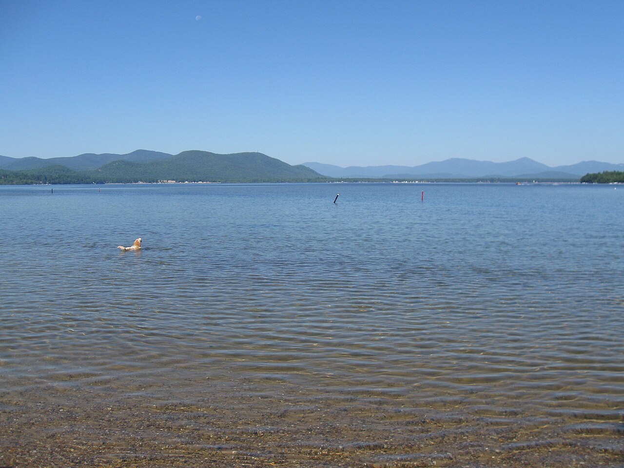
Ossipee Lake
Ossipee Lake is a 3,257-acre lake on the Ossipee River in New Hampshire. You will find it in Carroll County. It is managed by NH…
Natural lake
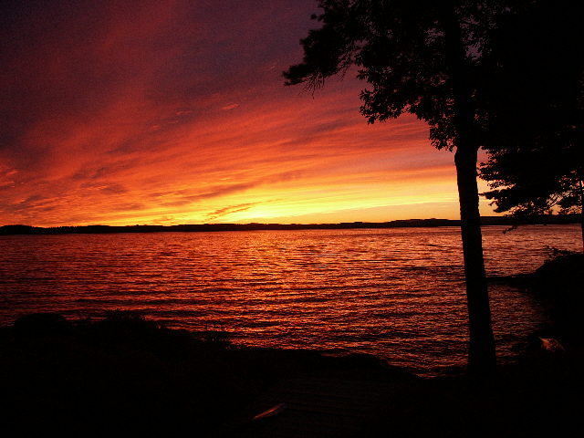
Lake Winnipesaukee
Lake Winnipesaukee is a lake of some 45,714 acres on the Winnipesaukee River, in New Hampshire. You will find it in Belknap…
Natural lake7 beaches
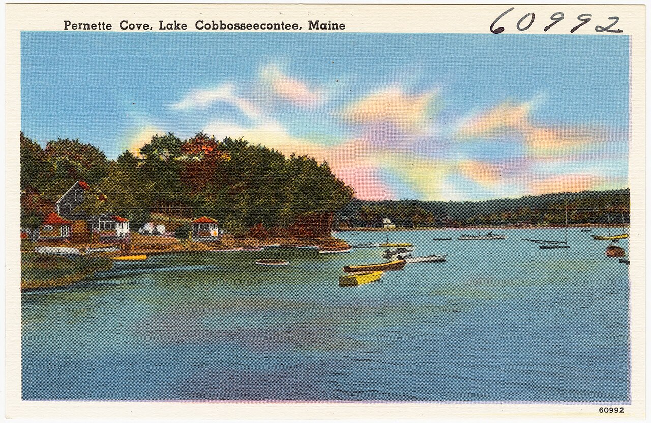
Cobbosseecontee Lake
At roughly 5,543 acres, Cobbosseecontee Lake is one of the lakes covered in Maine. It lies in Kennebec County. Maine Dept. of…
Natural lake
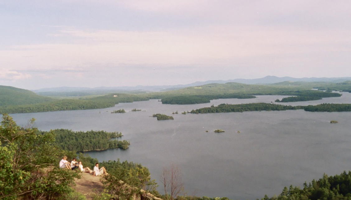
Squam Lake
Fed by the Squam River, Squam Lake holds roughly 6,790 acres of water in New Hampshire. The lake is in Belknap County. Management…
Natural lake2 beaches
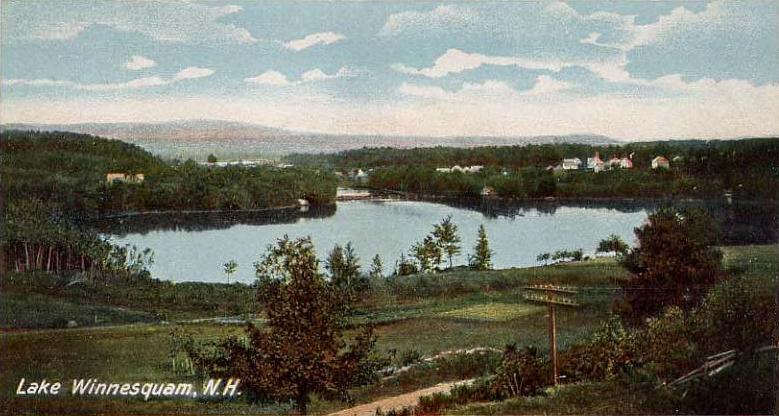
Lake Winnisquam
Lake Winnisquam covers about 4,213 acres of the Winnipesaukee River in New Hampshire. You will find it in Belknap County. NH…
Natural lake1 beach
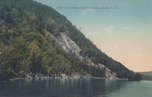
Newfound Lake
Newfound Lake is a lake of some 4,102 acres on the Newfound River, in New Hampshire. Its shoreline falls inside Grafton County.…
Natural lake
Explore around Maine
Sources
Every figure on this page comes from one of these public sources.