
CountiesReno County
KansasReservoirReno County
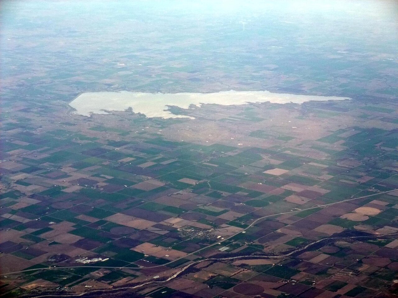
Cheney Reservoir
Fed by the North Fork Ninnescah River, Cheney Reservoir holds roughly 9,550 acres of water in Kansas. Its shoreline falls inside Reno County. Kansas Department of Wildlife and Parks manages it. The latest reading is 1,420.35 ft, 1.2 ft below the 1,421.6 ft full pool.
Water level today: 1,420.35 ft · see the full record
Coordinates37.7597, -97.8350
Surface area9,550 acres
Max depth42 ft
Full pool1,421.6 ft
RiverNorth Fork Ninnescah River
Managed byKansas Department of Wildlife and Parks
Swimming beaches on Cheney Reservoir
No named swimming beach is mapped yet for this lake. Access is through agency day-use areas and boat ramps listed below. We add beach pages only when we can confirm a name, coordinates and an operating agency.
Cheney Reservoir on the map
Lake center, swimming spots and access points.
Weather and water temperature
Air temperature and wind from Open-Meteo. Water temperature only when the lake has a public sensor.
Weather data by Open-Meteo · water temperature from USGS
Water level today
Station 07144790, CHENEY RE NR CHENEY, KS, publishes the water surface elevation used here. The last value stored here, 1,420.35 ft, is from 2026-09-09. The top of the dam sits at 1,454.0 ft. Over the record shown on the level page the gauge has moved between 1,420.38 ft and 1,425.71 ft (low on 2026-09-08, high on 2026-06-30). The Corps of Engineers puts the top of the flood pool at 1,429.0 ft. The conservation pool tops out at 1,421.6 ft. A low pool exposes stumps and mud in the shallow arms of the lake.
1,420.35 ft -0.25 ft in 7 days
Swimming at Cheney Reservoir
Its coordinates are 37.7597, -97.8350. Maximum depth is around 42 feet. The surface sits around 1,422 feet above sea level. Outflow feeds the North Fork Ninnescah River.
The same station reports water temperature, last read at 81.0 °F. Inland lakes are not monitored the way ocean beaches are, so posted signs matter more here. Most Kansas day-use areas open for the summer season and close outside it.
Station 07144790, CHENEY RE NR CHENEY, KS, publishes the water surface elevation used here. The last value stored here, 1,420.35 ft, is from 2026-09-09. The top of the dam sits at 1,454.0 ft. Over the record shown on the level page the gauge has moved between 1,420.38 ft and 1,425.71 ft (low on 2026-09-08, high on 2026-06-30). The Corps of Engineers puts the top of the flood pool at 1,429.0 ft. The conservation pool tops out at 1,421.6 ft. A low pool exposes stumps and mud in the shallow arms of the lake.
A missing beach entry often just means nobody has catalogued the access point yet. There is no beach on record at Cheney Reservoir in the datasets this guide reads.
If Cheney Reservoir is busy, the nearest alternatives here are El Dorado Lake (Kansas, 56 mi), Marion Reservoir (Kansas, 59 mi) and Kanopolis Lake (Kansas, 60 mi). Kansas has 26 lakes on this site in total.
Questions about Cheney Reservoir
Is there a beach at Cheney Reservoir?
No named swimming beach appears in the federal and state datasets this guide reads. Check the operating agency for day-use areas on the ground.
How big is Cheney Reservoir?
About 9,550 acres. Maximum depth is around 42 feet.
What is the water temperature at Cheney Reservoir?
The sensor last read 81.0 °F. The page refreshes it from the gauge when you load it.
What other lakes are near Cheney Reservoir?
The closest in this guide is El Dorado Lake, about 56 miles away in Kansas.
Lakes near Cheney Reservoir
Other lakes in this guide, ordered by distance.
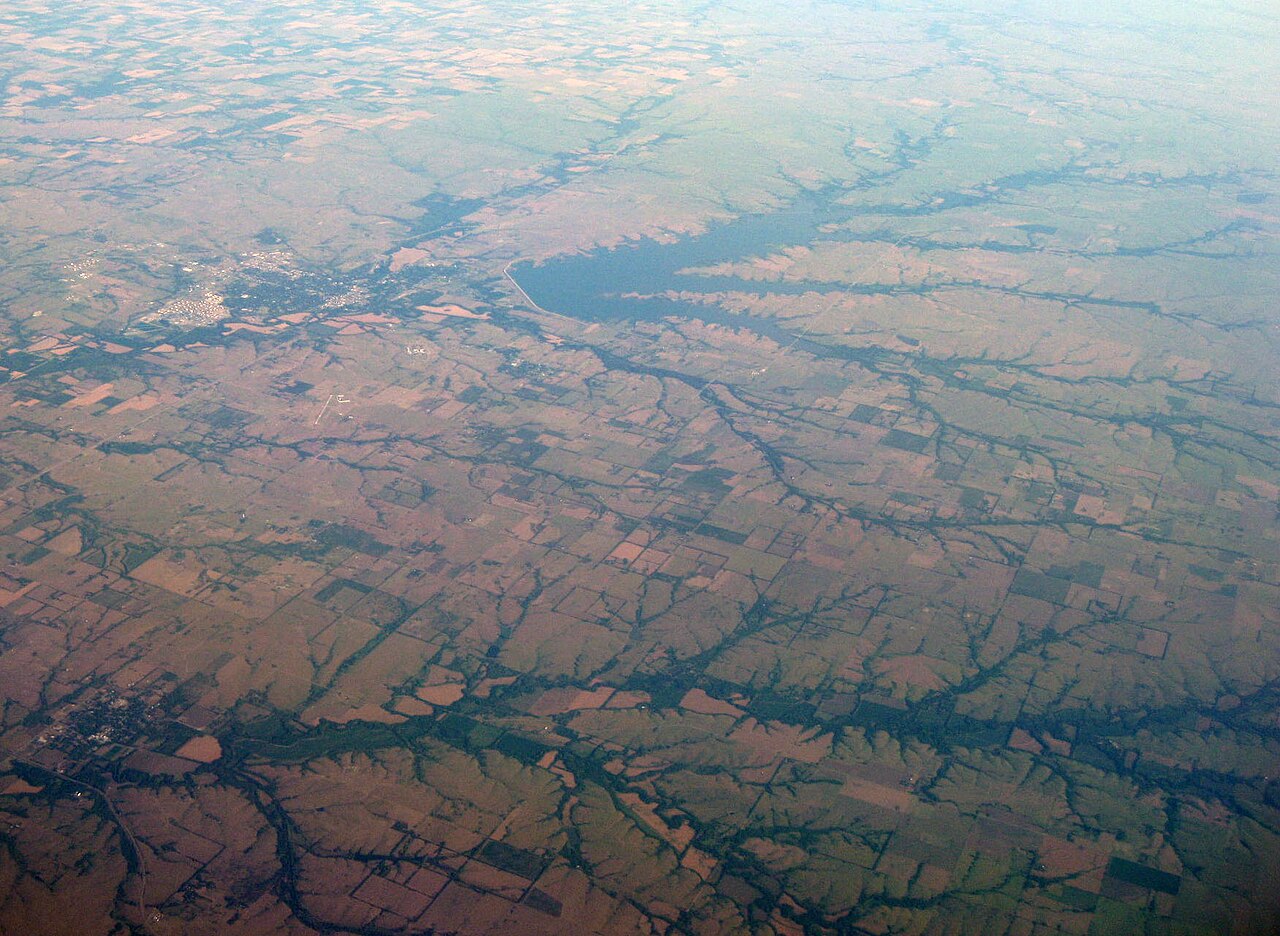
El Dorado Lake
El Dorado Lake covers about 8,000 acres of the Walnut River in Kansas. You will find it in Butler County. It is managed by Kansas…
Reservoir
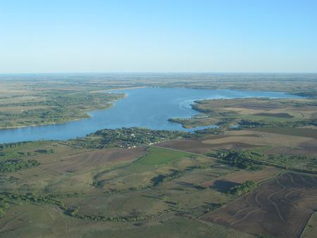
Kanopolis Lake
Kanopolis Lake is a 3,406-acre reservoir on the Smoky Hill River in Kansas. It lies in Ellsworth County. It is managed by Kansas…
Reservoir
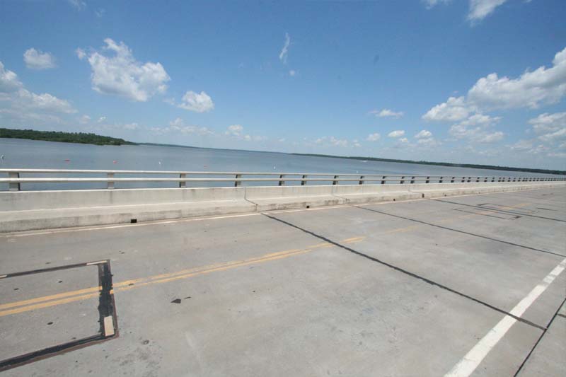
Kaw Lake
Kaw Lake is a reservoir of some 17,000 acres on the outflow =, in Oklahoma. You will find it in Kay County. Management is in the…
Reservoir
Fall River Lake
Fall River Lake is a reservoir of some 2,450 acres on the Fall River to Verdigris River, in Kansas. You will find it in Greenwood…
Reservoir
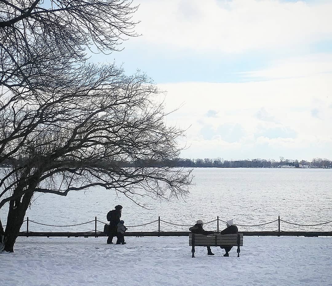
Toronto Lake
Toronto Lake covers about 2,880 acres of the Verdigris River in Kansas. You will find it in Woodson County. Management is in the…
Reservoir
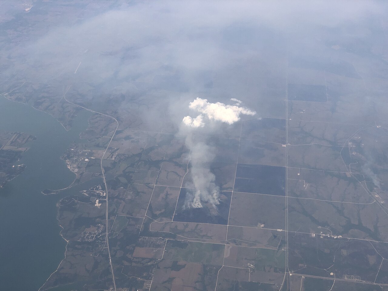
Milford Lake
Milford Lake is a 15,700-acre reservoir on the Republican River to Kansas River in Kansas. It lies in Clay County. It is managed…
Reservoir
Explore around Kansas
Sources
Every figure on this page comes from one of these public sources.