
CountiesOrange County
IndianaReservoirOrange County
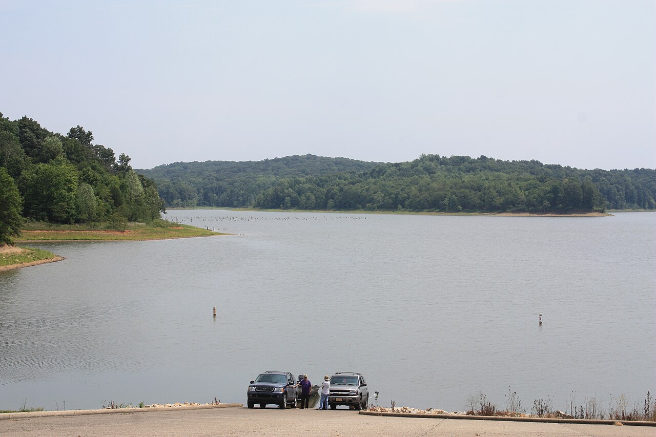
Patoka Lake
Fed by the catchment =, Patoka Lake holds roughly 8,800 acres of water in Indiana. You will find it in Orange County. USACE Louisville District manages it. The gauge last read 540.13 ft.
Water level today: 540.13 ft · see the full record
Coordinates38.4347, -86.7069
Surface area8,800 acres
Rivercatchment =
Managed byUSACE Louisville District
Swimming beaches on Patoka Lake
No named swimming beach is mapped yet for this lake. Access is through agency day-use areas and boat ramps listed below. We add beach pages only when we can confirm a name, coordinates and an operating agency.
Patoka Lake on the map
Lake center, swimming spots and access points.
Weather and water temperature
Air temperature and wind from Open-Meteo. Water temperature only when the lake has a public sensor.
Weather data by Open-Meteo
Water level today
The level comes from gauge 03374498, PATOKA LAKE NEAR CUZCO, IN, and carries the time it was taken. The top of the dam sits at 564.0 ft. The last value stored here, 540.13 ft, is from 2026-09-09. The Corps of Engineers puts the top of the flood pool at 548.0 ft. A falling pool widens the beaches and shortens the ramps, so it is worth checking before you drive out.
540.13 ft trend not available
Visiting Patoka Lake
On the map, Patoka Lake is centered near 38.4347, -86.7069. It lies at roughly 535 feet of elevation. Releases go downstream into the catchment =.
The level comes from gauge 03374498, PATOKA LAKE NEAR CUZCO, IN, and carries the time it was taken. The top of the dam sits at 564.0 ft. The last value stored here, 540.13 ft, is from 2026-09-09. The Corps of Engineers puts the top of the flood pool at 548.0 ft. A falling pool widens the beaches and shortens the ramps, so it is worth checking before you drive out.
If Patoka Lake is busy, the nearest alternatives here are Lake Monroe (Indiana, 45 mi), Rough River Lake (Kentucky, 58 mi) and Lake Lemon (Indiana, 59 mi). In all, 19 lakes in Indiana are covered here.
Around Patoka Lake this guide maps 6 public recreation areas. Recreation areas nearby include Lick Fork, Jackson and Newton-Stewart. Fees and opening dates are set by each park, not by the agency that runs the water.
Freshwater advisories are issued locally, so check the state health department before you swim. Season dates vary by park; the operating agency publishes them each spring. There is no water temperature sensor here, so only air conditions are shown.
Recreation areas on Patoka Lake
6 public recreation areas mapped around the lake by the U.S. Army Corps of Engineers. Facilities vary by area; check the managing office for opening dates and fees.
Lick Fork Jackson Newton-Stewart South Lick Fork Painter Creek Osborne
Source: USACE Recreation Areas
Questions about Patoka Lake
Is there a beach at Patoka Lake?
No named swimming beach appears in the federal and state datasets this guide reads. Check the operating agency for day-use areas on the ground.
How big is Patoka Lake?
About 8,800 acres.
What other lakes are near Patoka Lake?
The closest in this guide is Lake Monroe, about 45 miles away in Indiana.
Lakes near Patoka Lake
Other lakes in this guide, ordered by distance.
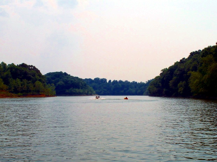
Rough River Lake
Fed by the Rough River, Rough River Lake holds roughly 5,100 acres of water in Kentucky. It lies in Breckinridge County. USACE…
Reservoir1 beach
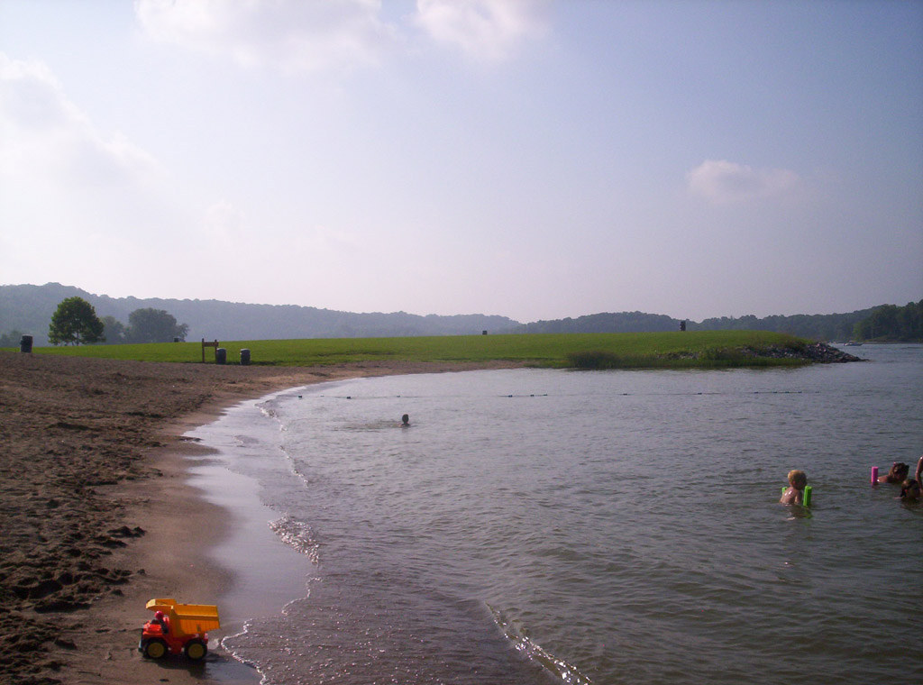
Lake Lemon
Lake Lemon is a 1,650-acre reservoir on the Bean Blossom Creek in Indiana. The lake is in Monroe County. Lake Lemon Conservancy…
Reservoir
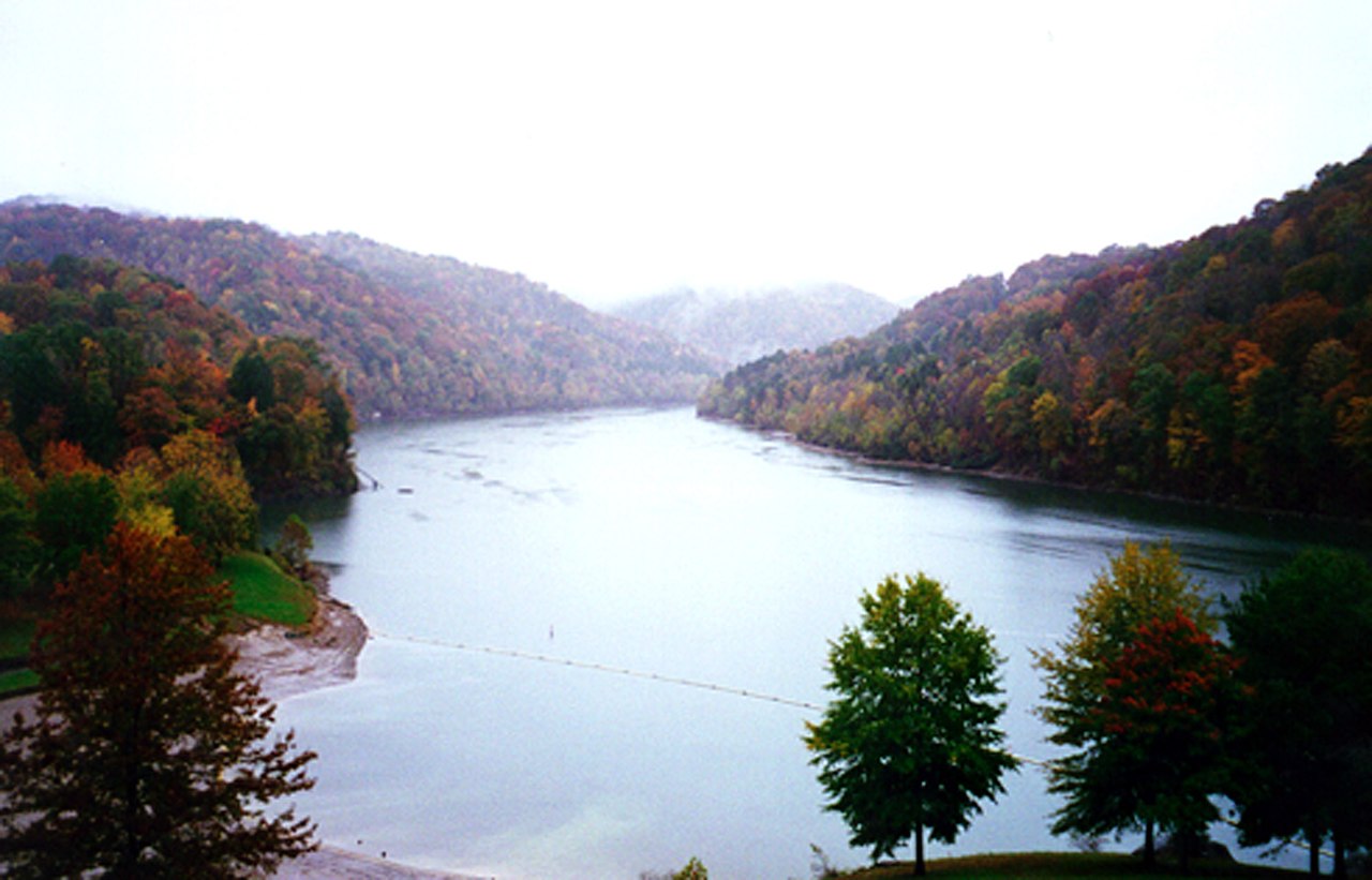
Nolin River Lake
Nolin River Lake covers about 5,795 acres of the Nolin River in Kentucky. USACE Louisville District manages it. The gauge last…
Reservoir
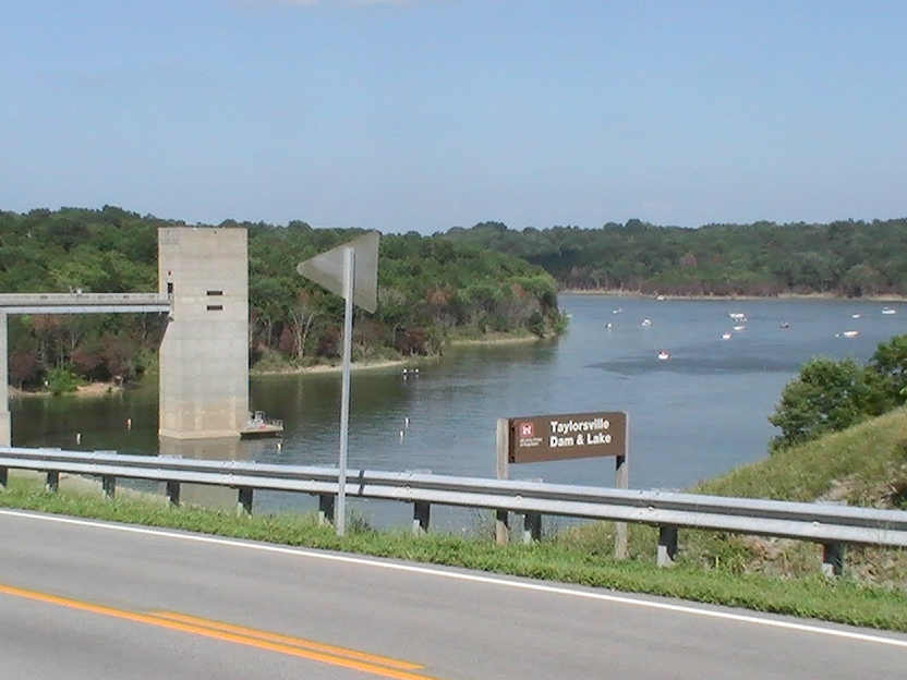
Taylorsville Lake
Taylorsville Lake covers about 3,050 acres of the Salt River in Kentucky. Its shoreline falls inside Spencer County. It is…
Reservoir
Green River Lake
Fed by the Green River, Green River Lake holds roughly 8,200 acres of water in Kentucky. Its shoreline falls inside Taylor…
Reservoir
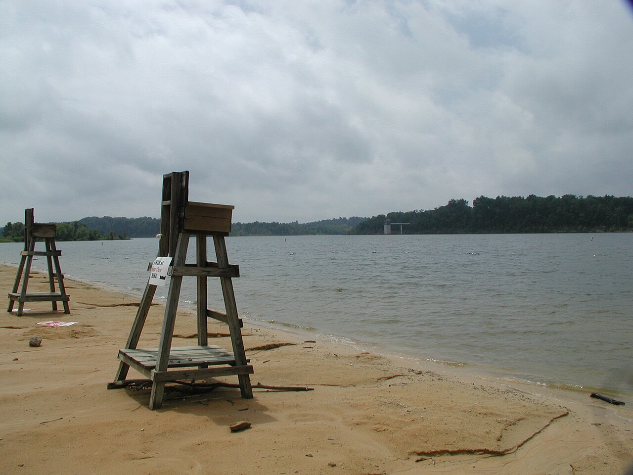
Barren River Lake
Barren River Lake covers about 10,100 acres of the Barren River in Kentucky. The lake is in Allen County. It is managed by USACE…
Reservoir
Explore around Indiana
Sources
Every figure on this page comes from one of these public sources.