
CountiesGunnison County
ColoradoReservoirGunnison County
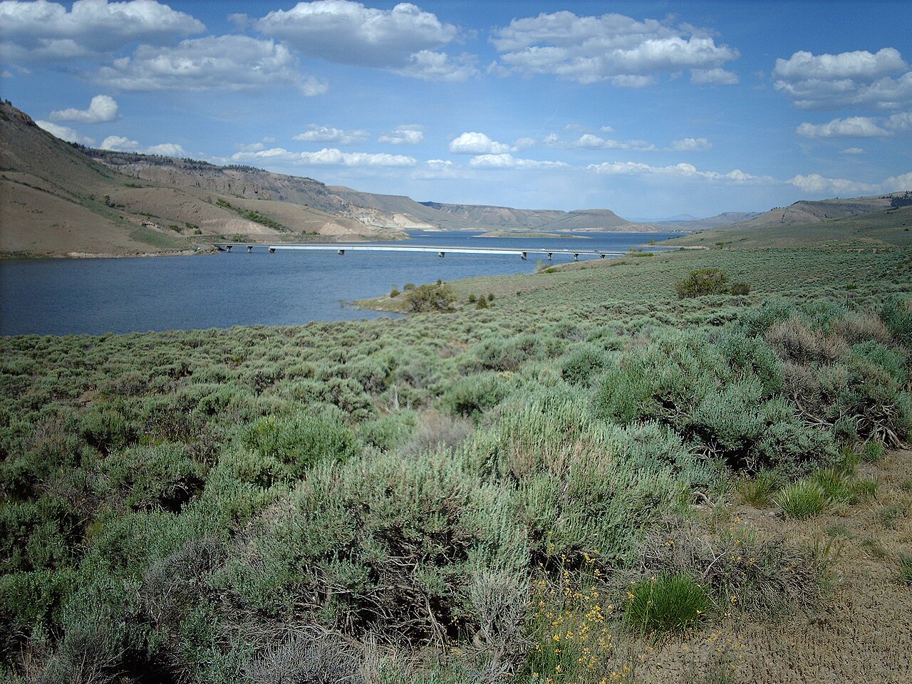
Blue Mesa Reservoir
Blue Mesa Reservoir is a reservoir of some 9,180 acres on the Gunnison River, in Colorado. It lies in Gunnison County. National Park Service / USBR manages it. This guide maps 1 named swimming spot around its shoreline.
Coordinates38.4703, -107.2204
Surface area9,180 acres
RiverGunnison River
Managed byNational Park Service / USBR
Swimming beaches on Blue Mesa Reservoir
1 named swimming spot and shoreline access points, from USGS GNIS, Recreation.gov and the Forest Service. None is staffed by a lifeguard unless the operating agency posts one.
Blue Mesa Reservoir on the map
Lake center, swimming spots and access points.
Weather and water temperature
Air temperature and wind from Open-Meteo. Water temperature only when the lake has a public sensor.
Weather data by Open-Meteo · water temperature from USGS
Planning a day at Blue Mesa Reservoir
The center of the lake is at 38.4703, -107.2204. The Gunnison River carries the outflow. Surface elevation is about 7,519 feet.
If Blue Mesa Reservoir is busy, the nearest alternatives here are Silver Jack Reservoir (Colorado, 23 mi), Crawford Reservoir (Colorado, 25 mi) and Ridgway Reservoir (Colorado, 33 mi). Colorado has 48 lakes on this site in total.
Swimming season in Colorado runs through the warm months, and day-use areas set their own opening dates. The same station reports water temperature, last read at 52.9 °F. Freshwater advisories are issued locally, so check the state health department before you swim.
Around Blue Mesa Reservoir this guide maps 1 named swimming spot. These come from Recreation.gov (RIDB). They include Curecanti National Recreation Area. Parking is the usual limit on busy summer weekends.
The nearest gauge on record, 382847107120401 (BLUE MESA RES WEST OF DRY GULCH NEAR SAPINERO, CO), sits some 1 miles off and covers other water. This page shows no water level for Blue Mesa Reservoir because no agency publishes one that can be read automatically. If the operating agency starts publishing a level for this lake, it will appear here.
Questions about Blue Mesa Reservoir
Can you swim in Blue Mesa Reservoir?
Yes. This guide maps 1 named swimming spot around the lake, including Curecanti National Recreation Area. None is staffed by a lifeguard unless the operating agency posts one.
How big is Blue Mesa Reservoir?
About 9,180 acres.
What is the water temperature at Blue Mesa Reservoir?
The sensor last read 52.9 °F. The page refreshes it from the gauge when you load it.
What other lakes are near Blue Mesa Reservoir?
The closest in this guide is Silver Jack Reservoir, about 23 miles away in Colorado.
Lakes near Blue Mesa Reservoir
Other lakes in this guide, ordered by distance.
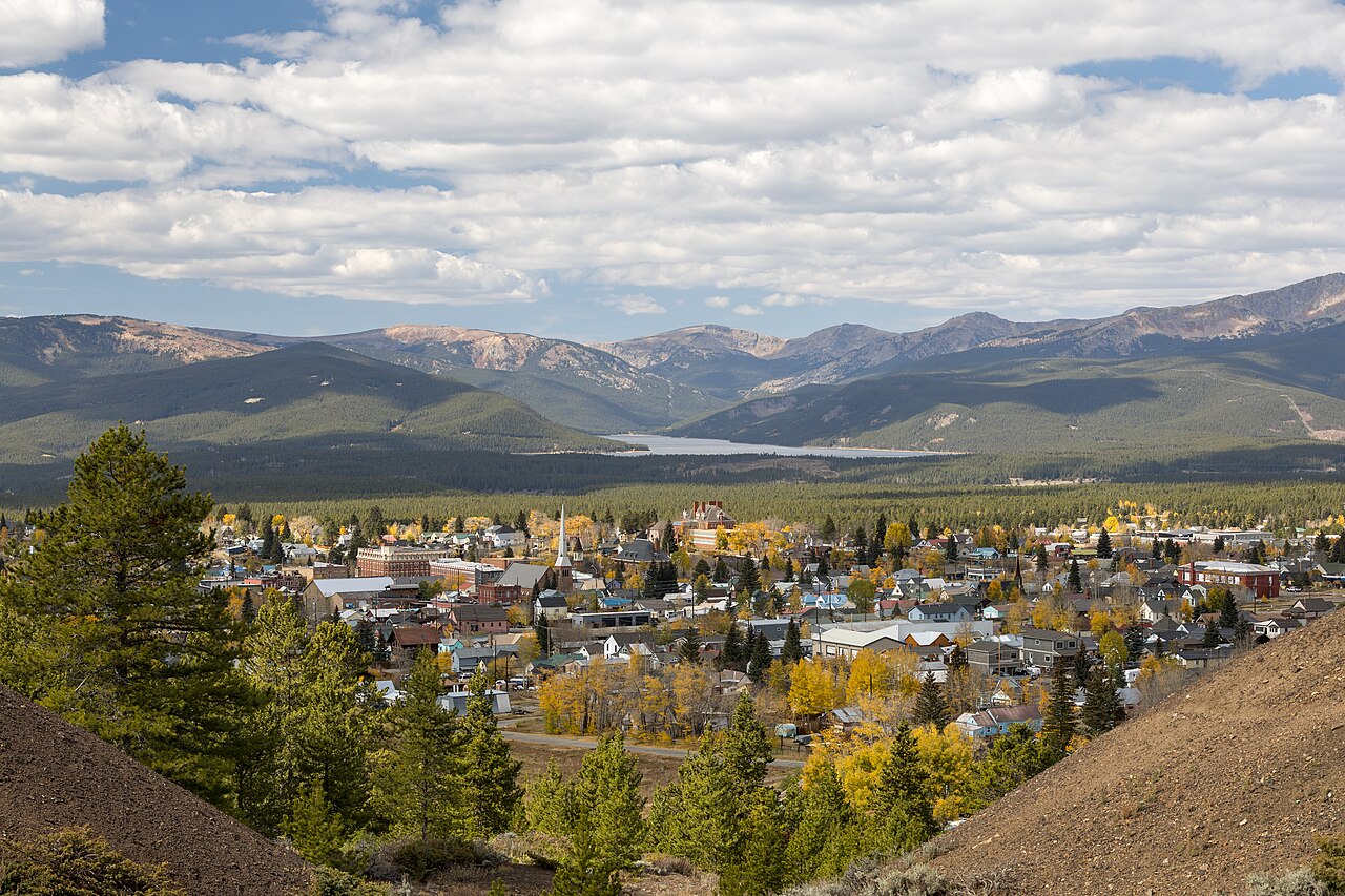
Turquoise Lake
Turquoise Lake covers about 1,780 acres in Colorado. You will find it in Lake County. USFS San Isabel NF (USBR-owned) manages it.
Reservoir
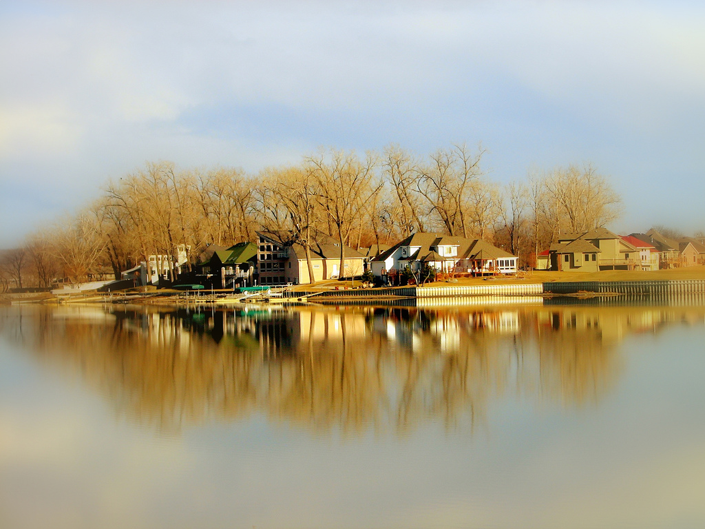
Carter Lake
Carter Lake covers about 1,110 acres in Colorado. You will find it in Eagle County. Larimer County Natural Resources manages it.
Reservoir
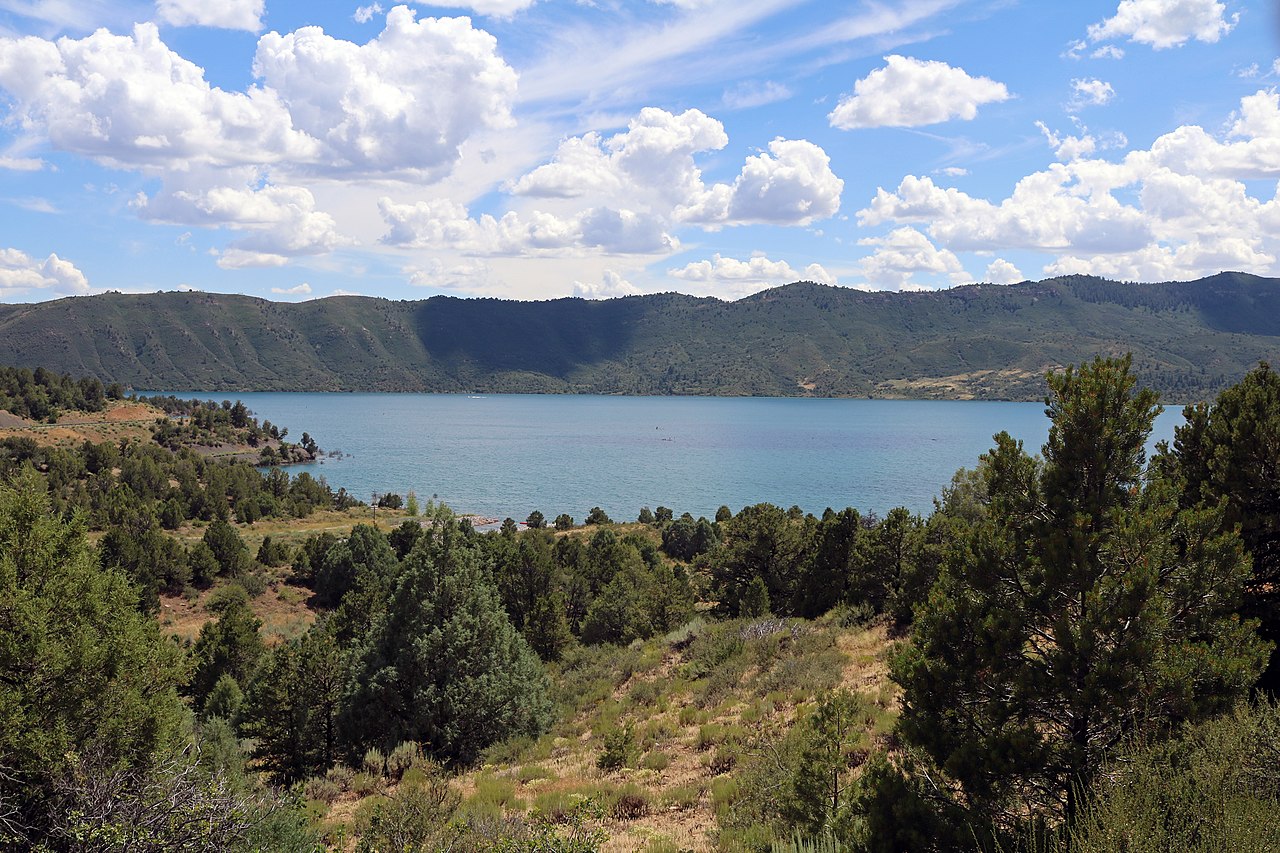
Lake Nighthorse
Lake Nighthorse is a reservoir of some 1,490 acres on the Basin Creek (Outflow returns to the Animas River), in Colorado. City of…
Reservoir
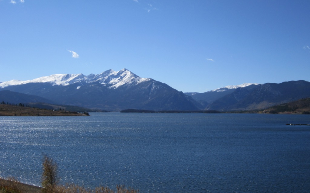
Dillon Reservoir
Fed by the Blue River, Dillon Reservoir holds roughly 3,233 acres of water in Colorado. You will find it in Summit County. Denver…
Reservoir1 beach
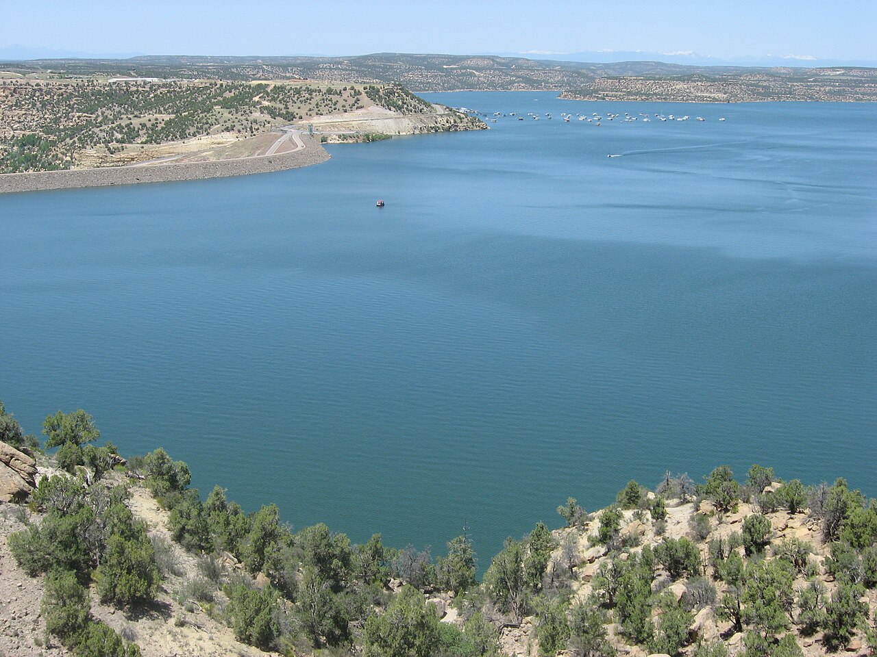
Navajo Reservoir
Fed by the San Juan River, Navajo Reservoir holds roughly 15,600 acres of water in New Mexico. The lake is in Archuleta County.…
Reservoir
Heron Lake
Heron Lake covers about 5,900 acres of the Willow Creek in New Mexico. It lies in Rio Arriba County. Management is in the hands…
Reservoir
Explore around Colorado
Sources
Every figure on this page comes from one of these public sources.